Hawold in the Domesday Book (1086)
The 1086 Domesday survey records the settlement of Hawold, entered under the hundred of Warter in Yorkshire.
Other Settlements in Warter
- Grimthorpe [Manor]
- Heslington
- Huggate
- Kilnwick [Percy]
- Langwith [Lodge]
- Meltonby
- Millington
- Naburn
- Warter
- Wetwang
- Yapham
- [Great] Givendale
- [Little] Givendale
- [North] Dalton
The Meaning of the Name
The origin of the name Hawold is not securely established from its modern form alone; like many settlement names in the North it likely combines an Old English or Old Norse personal name with a landscape term.
Remarkably, the name has changed little since 1086, when the Domesday scribes wrote it as Hawold.
Scheduled Monuments Near Hawold
Scheduled monuments are nationally important archaeological sites given legal protection. 5 lie within roughly a mile of Hawold:
- Section of double linear boundary dyke 300m north east of Millington Grange Farm - 1.12 km
- Round barrow 300m south west of Callis Wold Farm - 1.2 km
- Round barrow 250m south of Callis Wold Farm - 1.3 km
- Section of linear boundary dyke 160m west of High Callis Wold Farm - 1.43 km
- Round barrow 250m east of Wold Farm, Bishop Wilton Wold - 1.48 km
Nearby Domesday Settlements
Other places recorded in the 1086 survey within a few miles:
- Little Givendale - 1.0 km S
- Great Givendale - 1.4 km SW
- Grimthorpe Manor - 2.2 km SW
- Bishop Wilton - 3.2 km W
- Ousethorpe Farm - 3.2 km S
- Millington - 3.2 km S
Heritage Around Hawold
Photographs of churches, listed buildings and monuments in the vicinity, contributed by volunteers to the Geograph project and reused here under a Creative Commons licence.
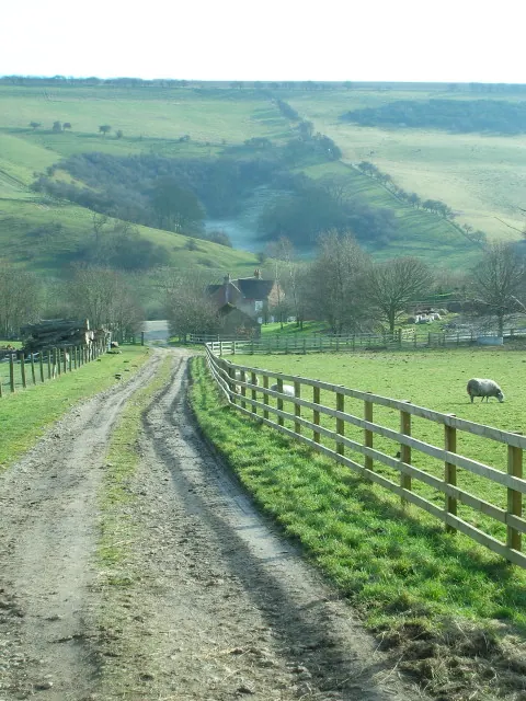
© Paul Sexton · Geograph · CC BY-SA 2.0
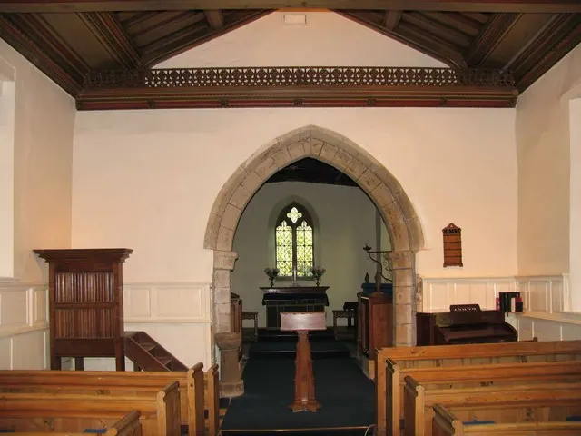
© David Rogers · Geograph · CC BY-SA 2.0
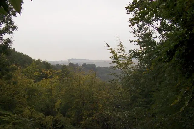
© Martin Norman · Geograph · CC BY-SA 2.0
Images © their respective photographers, licensed under CC BY-SA 2.0 and reused here with attribution. Photographs depict listed buildings, churches and monuments near this settlement and may show neighbouring villages.
Data derived from the Open Domesday project (opendomesday.org), based on the Domesday Book dataset compiled by Professor J.J.N. Palmer and team. The Domesday Book (1086) is in the public domain.
Found an inaccuracy? [email protected]