Hatton in the Domesday Book (1086)
The 1086 Domesday survey records the settlement of Hatton, entered under the hundred of Appletree in Derbyshire.
Other Settlements in Appletree
- Alkmonton
- Ashe
- Aston
- Barton [Blount]
- Bentley
- Boylestone
- Bradley
- Brailsford
- Bupton
- Clifton
- Doveridge
- Eaton [Dovedale]
- Edlaston
- Ednaston
The Meaning of the Name
The name Hatton is of Anglo-Saxon origin. Its final element derives from the Old English word tūn, a farmstead or village. The first element is most likely a personal name or an early descriptive term, now difficult to recover with certainty. Taken together the name probably meant something close to ‘a farmstead’.
Remarkably, the name has changed little since 1086, when the Domesday scribes wrote it as Hatton.
Listed Buildings Near Hatton
Historic England records 38 listed buildings within about a mile of Hatton. Listing protects structures of special architectural or historic interest, graded I (exceptional), II* (particularly important) and II.
Grade I
- Church of St Mary - 0.6 km
Grade II*
- Dog and Partridge Hotel - 0.65 km
Grade II
- Tutbury Bridge - 0.16 km
- Tutbury Crossing Signal Box - 0.24 km
- Riverdale - 0.44 km
- 19, Lower High Street - 0.47 km
- 5, Lower High Street - 0.47 km
- Manor Farmhouse and Manor Farm Cottage - 0.48 km
- The Hawthorns - 0.51 km
- 22 and 24, High Street - 0.52 km
- North West Block of Tutbury Institute Fronting Street - 0.53 km
- Wesleyan Methodist Chapel - 0.57 km
- 11, High Street - 0.57 km
- 11A High Street - 0.58 km
- 33, High Street - 0.59 km
- 10, High Street - 0.59 km
- 34, High Street - 0.6 km
- Tutbury War Memorial - 0.6 km
- Number 7 With House Adjoining - 0.61 km
- 6 and 6a High Street - 0.65 km
- 5 High Street - 0.67 km
- 35, High Street - 0.67 km
- 3a and 4, High Street - 0.68 km
- 1 and 2, High Street - 0.69 km
…and 14 more listed structures in the area.
Scheduled Monuments Near Hatton
Scheduled monuments are nationally important archaeological sites given legal protection. 2 lie within roughly a mile of Hatton:
- Tutbury Castle - 0.72 km
- Three sections of medieval town boundary located to the south and west of Tutbury - 1.08 km
Hatton Today
Today Hatton lies within the administrative area of South Derbyshire, and the settlement recorded a population of 2,750 at the 2021 census. Nine and a half centuries separate that figure from the small rural community the Domesday survey recorded here in 1086.
Read more about modern Hatton on Wikipedia .
Nearby Domesday Settlements
Other places recorded in the 1086 survey within a few miles:
- Marston -on-Dove - 2.0 km E
- Scropton - 2.2 km NW
- Hoon - 2.2 km NE
- Hilton - 3.2 km E
- Foston - 3.6 km NW
- Church Broughton - 4.1 km N
Heritage Around Hatton
Photographs of churches, listed buildings and monuments in the vicinity, contributed by volunteers to the Geograph project and reused here under a Creative Commons licence.
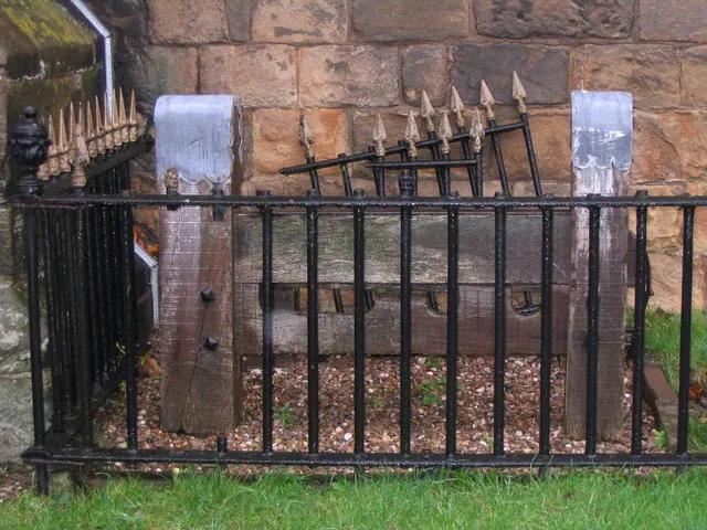
© M J Richardson · Geograph · CC BY-SA 2.0
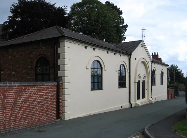
© Dave Bevis · Geograph · CC BY-SA 2.0
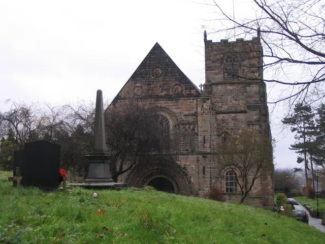
© M J Richardson · Geograph · CC BY-SA 2.0
Images © their respective photographers, licensed under CC BY-SA 2.0 and reused here with attribution. Photographs depict listed buildings, churches and monuments near this settlement and may show neighbouring villages.
Data derived from the Open Domesday project (opendomesday.org), based on the Domesday Book dataset compiled by Professor J.J.N. Palmer and team. The Domesday Book (1086) is in the public domain.
Found an inaccuracy? [email protected]