Hathersage in the Domesday Book (1086)
Hathersage is named in the Domesday Book, compiled by Norman commissioners in 1086, entered under the hundred of Blackwell in Derbyshire.
Other Settlements in Blackwell
- Abney
- Ashford [-in-the-Water]
- Aston
- Bakewell
- Bamford
- Baslow
- Beeley
- Birchills
- Birchover
- Blackwell
- Bradwell
- Bubnell
- Burley
- Burton
The Meaning of the Name
The origin of the name Hathersage is not securely established from its modern form alone; like many settlement names in the North it likely combines an Old English or Old Norse personal name with a landscape term.
Remarkably, the name has changed little since 1086, when the Domesday scribes wrote it as Hathersage.
Listed Buildings Near Hathersage
Historic England records 42 listed buildings within about a mile of Hathersage. Listing protects structures of special architectural or historic interest, graded I (exceptional), II* (particularly important) and II.
Grade I
- Church of St Michael and All Angels - 0.44 km
Grade II*
- Hathersage Hall - 0.32 km
Grade II
- Dale Mill and detached chimney - 0.29 km
- Milepost 20 Yards to the South West of the Entrance to Hathersage Hall - 0.31 km
- Eastwood Cottages - 0.31 km
- Outbuilding to the South South West of Hathersage Hall - 0.32 km
- Barn to the South West of Hathersage Hall - 0.33 km
- Rock House, Attached Outbuilding Entrance, Gate Piers and Gates - 0.34 km
- Outbuilding to the West South West of Hathersage Hall - 0.34 km
- House to the North East of Rock House - 0.35 km
- Outbuilding North West of Outbuilding to the West South West of Hathersage Hall - 0.36 km
- Garden Pavilion and Garden Walls to Hathersage Hall - 0.39 km
- 1-3, Bank Top - 0.39 km
- Outbuilding to the North East of the Old Bell House - 0.4 km
- Toll Bar Cottage - 0.41 km
- The Old Bell House - 0.41 km
- Cross Shaft in St Michael’s Churchyard - 0.42 km
- Hall Farmhouse, Boundary Wall and Gate Piers - 0.44 km
- The Vicarage and Garden Walling - 0.45 km
- The Cottage - 0.47 km
- Broomfield and Railings - 0.47 km
- The 1781 Cottages - 0.48 km
- Valerian Cottage and Attached Cottages to West - 0.55 km
- Hathersage Farmhouse - 0.59 km
…and 18 more listed structures in the area.
Scheduled Monuments Near Hathersage
Scheduled monuments are nationally important archaeological sites given legal protection. 3 lie within roughly a mile of Hathersage:
- Camp Green ringwork - 0.45 km
- Callow prehistoric settlement and field system, Carr Head Moor, 300m ENE of Toothill Farm - 1.02 km
- Cairn at Winyards Nick 470m south east of Mitchell Field - 1.57 km
Hathersage Today
Today Hathersage lies within the administrative area of Derbyshire Dales, and the settlement recorded a population of 1,769 at the 2021 census. Nine and a half centuries separate that figure from the small rural community the Domesday survey recorded here in 1086.
Read more about modern Hathersage on Wikipedia .
Nearby Domesday Settlements
Other places recorded in the 1086 survey within a few miles:
Heritage Around Hathersage
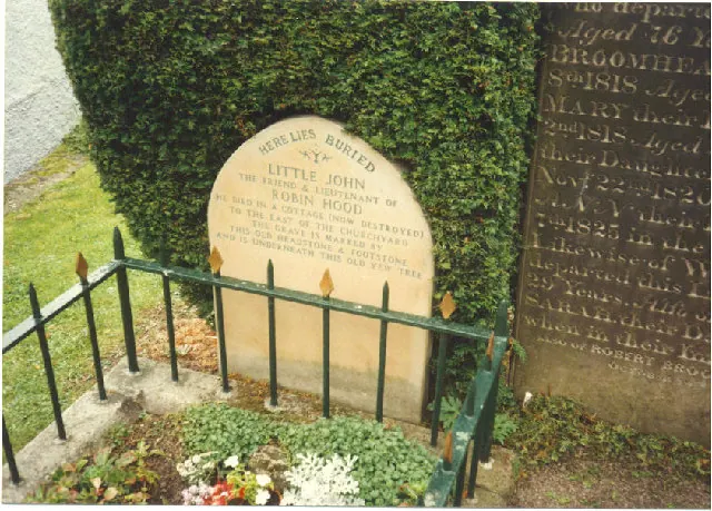
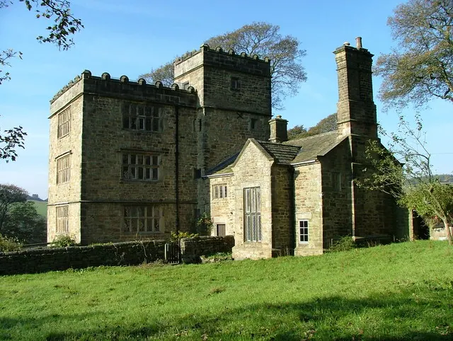
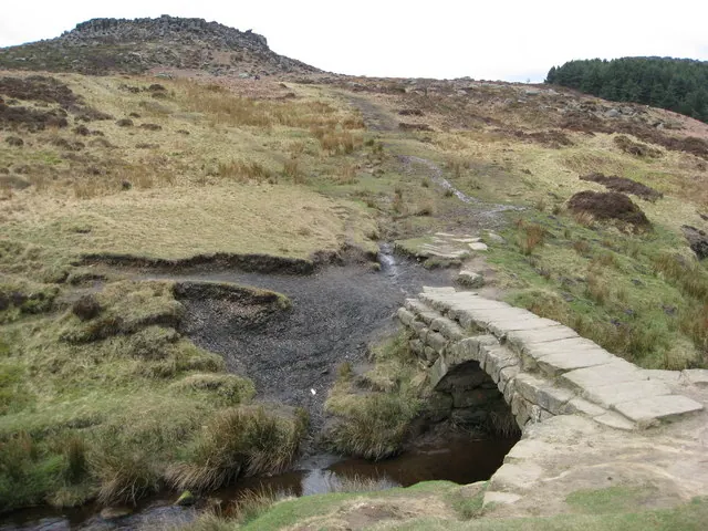
Photographs of churches, listed buildings and monuments in the vicinity, contributed by volunteers to the Geograph project and reused here under a Creative Commons licence.
© Mick Garratt · Geograph · CC BY-SA 2.0
© J147 · Geograph · CC BY-SA 2.0
© Alan Heardman · Geograph · CC BY-SA 2.0
Images © their respective photographers, licensed under CC BY-SA 2.0 and reused here with attribution. Photographs depict listed buildings, churches and monuments near this settlement and may show neighbouring villages.
Data derived from the Open Domesday project (opendomesday.org), based on the Domesday Book dataset compiled by Professor J.J.N. Palmer and team. The Domesday Book (1086) is in the public domain.
Found an inaccuracy? [email protected]