Hatfield in the Domesday Book (1086)
The settlement of Hatfield is recorded in William I’s Domesday survey of 1086, entered under the hundred of Strafforth in Yorkshire. The survey assessed Hatfield at 2 carucates of taxable land.
At the time of the survey, Hatfield supported a recorded population of 9 villagers, 10 smallholders, working 5 ploughs between them.
The survey puts Hatfield’s value at 2 shillings, the same as before the Conquest. Unchanged valuations are relatively rare in the North, where disruption was widespread.
Resources Recorded at Hatfield (1086)
- Meadow: 12 acres
- Woodland: 3 * 3 furlongs
Other Settlements in Strafforth
- Adwick [le Street]
- Adwick [upon Dearne]
- Armthorpe
- Aston
- Attercliffe
- Auckley
- Aughton [Hall]
- Austerfield
- Balby
- Barnbrough
- Barnby [Dun]
- Bentley
- Bilham [House]
- Billingley
The Meaning of the Name
The name Hatfield is of Anglo-Saxon origin. Its final element derives from the Old English word feld, open country. The first element is most likely a personal name or an early descriptive term, now difficult to recover with certainty. Taken together the name probably meant something close to ‘a open land’.
Remarkably, the name has changed little since 1086, when the Domesday scribes wrote it as Hatfield.
Listed Buildings Near Hatfield
Historic England records 23 listed buildings within about a mile of Hatfield. Listing protects structures of special architectural or historic interest, graded I (exceptional), II* (particularly important) and II.
Grade I
- Hatfield Manor House - 0.32 km
- Church of St Lawrence - 0.33 km
Grade II
- Stable-block Approximately 20 Metres to Rear of the Mews - 0.04 km
- Number 54 (Pyenest Flat 1-4 Inclusive) - 0.05 km
- Hatfield Methodist Church - 0.18 km
- Iron Gates to South East Corner of Churchyard to Church of St Lawrence - 0.29 km
- Number 13 (The Shambles) and Number 15 - 0.36 km
- Hawthorne House - 0.37 km
- The Grange - 0.38 km
- 11 (Church Lodge) and 13 Station Road - 0.38 km
- Milepost Approximately 30 Metres to North of Entrance to Hatfield Manor House - 0.38 km
- Old Travis Charity School - 0.41 km
- 31 Manor Road - 0.5 km
- Thackray House - 0.54 km
- Stable-block and Coach House Immediately to Rear of Thackray House - 0.55 km
- The Leylands - 0.57 km
- Barn Immediately to South East of Hatfield House Farmhouse - 0.6 km
- Coachhouse immediately to south-west of Hatfield House Farmhouse - 0.62 km
- Mortuary Chapel at Hatfield Cemetery - 0.77 km
- Ash Hill Lodge - 0.8 km
- Bow House - 0.83 km
- Tower Mill at Mill House - 0.84 km
- Broom Lodge - 1.01 km
Hatfield Today
Today Hatfield lies within the administrative area of Doncaster, and the settlement recorded a population of 17,149 at the 2021 census. Nine and a half centuries separate that figure from the small rural community the Domesday survey recorded here in 1086.
Read more about modern Hatfield on Wikipedia .
Nearby Domesday Settlements
Other places recorded in the 1086 survey within a few miles:
- Tudworth Green - 2.2 km NE
- Stainforth - 2.8 km NW
- Fishlake - 4.1 km N
- Kirk Bramwith - 4.5 km NW
- South Bramwith - 4.5 km NW
- Thorne - 4.5 km NE
Heritage Around Hatfield
Photographs of churches, listed buildings and monuments in the vicinity, contributed by volunteers to the Geograph project and reused here under a Creative Commons licence.
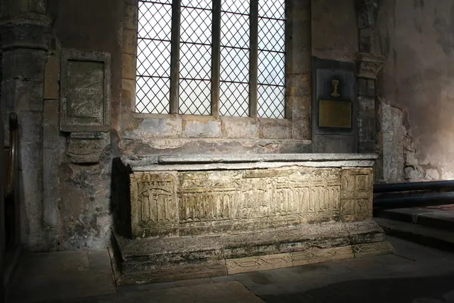
© Richard Croft · Geograph · CC BY-SA 2.0
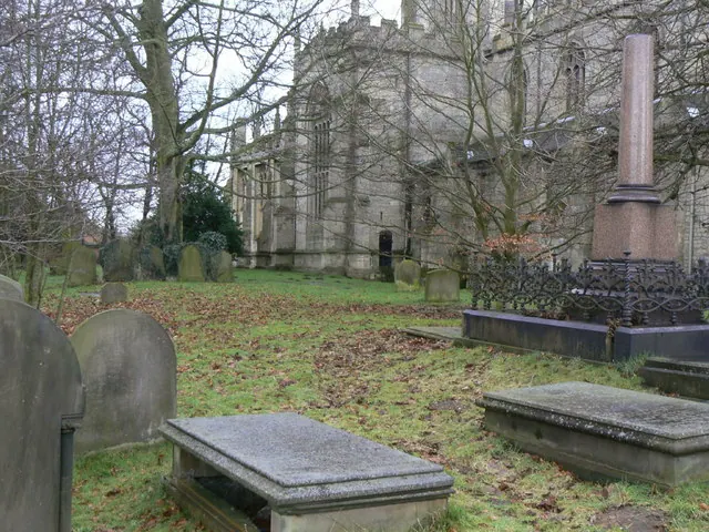
© Alan Murray-Rust · Geograph · CC BY-SA 2.0
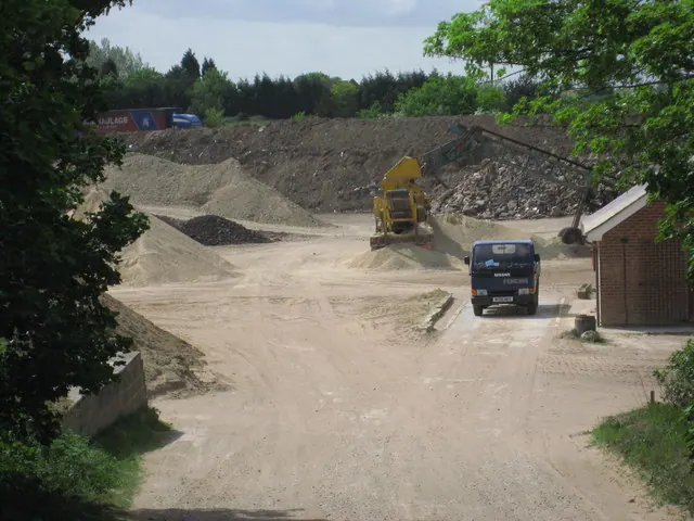
© Oxana Maher · Geograph · CC BY-SA 2.0
Images © their respective photographers, licensed under CC BY-SA 2.0 and reused here with attribution. Photographs depict listed buildings, churches and monuments near this settlement and may show neighbouring villages.
Data derived from the Open Domesday project (opendomesday.org), based on the Domesday Book dataset compiled by Professor J.J.N. Palmer and team. The Domesday Book (1086) is in the public domain.
Found an inaccuracy? [email protected]