Hartshead in the Domesday Book (1086)
The settlement of Hartshead is recorded in William I’s Domesday survey of 1086, entered under the hundred of Morley in Yorkshire.
Other Settlements in Morley
- Allerton
- Armley
- Batley
- Beeston
- Bolton
- Bowling
- Bradford
- Bramley
- Calverley
- Carlton
- Chellow [Grange]
- Clayton
- Clifton
- Cruttonstall
The Meaning of the Name
The name Hartshead is of Anglo-Saxon origin. Its final element derives from the Old English word hēafod, a headland or hill-top. The first element is most likely a personal name or an early descriptive term, now difficult to recover with certainty. Taken together the name probably meant something close to ‘a head of land’.
Remarkably, the name has changed little since 1086, when the Domesday scribes wrote it as Hartshead.
Listed Buildings Near Hartshead
Historic England records 35 listed buildings within about a mile of Hartshead. Listing protects structures of special architectural or historic interest, graded I (exceptional), II* (particularly important) and II.
Grade II*
- Church of St Peter - 1.09 km
- Single Aisled Cow House - 1.18 km
- Home Farm Building Number 7 L Shaped Aisled Barn - 1.18 km
Grade II
- 120, Hartshead Lane - 0.31 km
- 121, Hartshead Lane - 0.32 km
- 119, Hartshead Lane - 0.33 km
- Parkinhole - 0.43 km
- 124 and 124A, Church Road - 0.54 km
- 120 and 122, Church Road - 0.55 km
- Barn Adjoining Number 120 - 0.56 km
- Roe Head - 0.83 km
- Base of Lamp Approximately 1 Metre to South of West Corner of South Wing of Roe Head - 0.9 km
- Bullace Trees Farmhouse - 1.01 km
- Barn Adjacent to Bullace Trees Farmhouse - 1.03 km
- Mounting Block Opposite Gates to St Peter’s Church - 1.05 km
- Stocks Opposite Gates to St Peter’s Church - 1.05 km
- Pogg Myers Farmhouse - 1.06 km
- Sundial to South of Chancel of St Peter’s Church - 1.08 km
- The Old School in St Peter’s Churchyard, North East of Church - 1.1 km
- Sundial at Priory Gardens, Kirklees Park - 1.11 km
- Barn 50 Yards to East of Mock Hall - 1.11 km
- The Nuns Grave - 1.12 km
- Mock Hall - 1.12 km
- Walls Which Enclose Former Orchard For Kirklees Priory 80 Metres East of Priory Gatehouse - 1.16 km
…and 11 more listed structures in the area.
Scheduled Monuments Near Hartshead
Scheduled monuments are nationally important archaeological sites given legal protection. 2 lie within roughly a mile of Hartshead:
- Kirklees Priory, medieval nunnery - 1.17 km
- Castle Hill univallate defended settlement, Kirklees Park - 1.48 km
Hartshead Today
Today Hartshead lies within the administrative area of Kirklees.
Read more about modern Hartshead on Wikipedia .
Nearby Domesday Settlements
Other places recorded in the 1086 survey within a few miles:
- Liversedge - 1.4 km NE
- Clifton - 2.0 km W
- Bradley - 2.2 km SW
- Mirfield - 2.8 km SE
- Cleckheaton - 3.2 km N
- Upper Hopton - 4.1 km S
Heritage Around Hartshead
Photographs of churches, listed buildings and monuments in the vicinity, contributed by volunteers to the Geograph project and reused here under a Creative Commons licence.
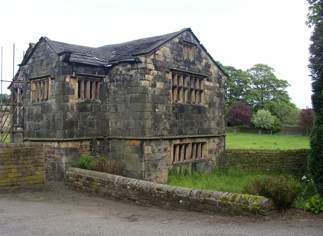
© Humphrey Bolton · Geograph · CC BY-SA 2.0
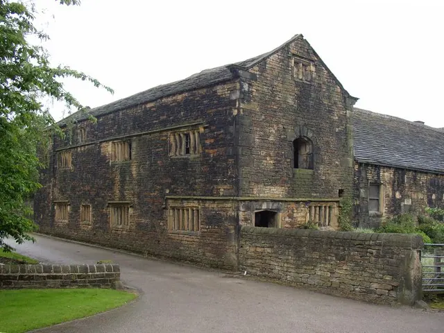
© Humphrey Bolton · Geograph · CC BY-SA 2.0
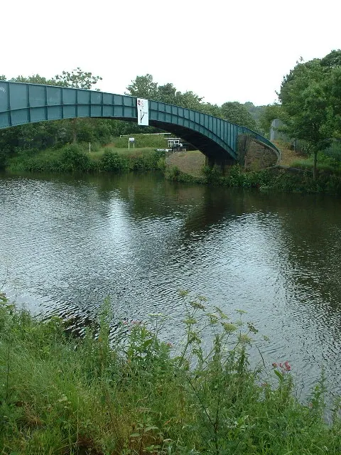
© Nigel Homer · Geograph · CC BY-SA 2.0
Images © their respective photographers, licensed under CC BY-SA 2.0 and reused here with attribution. Photographs depict listed buildings, churches and monuments near this settlement and may show neighbouring villages.
Data derived from the Open Domesday project (opendomesday.org), based on the Domesday Book dataset compiled by Professor J.J.N. Palmer and team. The Domesday Book (1086) is in the public domain.
Found an inaccuracy? [email protected]