Harton in the Domesday Book (1086)
The settlement of Harton is recorded in William I’s Domesday survey of 1086, entered under the hundred of Bulford in Yorkshire.
Other Settlements in Bulford
- Aldwark
- Alne
- Barnby [House]
- Barton [le Willows]
- Beningbrough
- Bossall
- Brafferton
- Brandsby
- Bulmer
- Buttercrambe
- Carlton [Farm]
- Claxton
- Coneysthorpe
- Corburn
The Meaning of the Name
The name Harton is of Anglo-Saxon origin. Its final element derives from the Old English word tūn, a farmstead or village. The first element is most likely a personal name or an early descriptive term, now difficult to recover with certainty. Taken together the name probably meant something close to ‘a farmstead’.
Remarkably, the name has changed little since 1086, when the Domesday scribes wrote it as Harton.
Listed Buildings Near Harton
Historic England records 5 listed buildings within about a mile of Harton. Listing protects structures of special architectural or historic interest, graded I (exceptional), II* (particularly important) and II.
Grade II
- Pear Tree Farmhouse - 0.55 km
- Mount Pleasant Farmhouse - 1.06 km
- Griffin Gates and Lodges to Howsham Hall - 1.18 km
- Milepost Approximately 300 Yards East of Field House, Flaxton - 1.23 km
- Vicarage Farmhouse - 1.28 km
Scheduled Monuments Near Harton
Scheduled monuments are nationally important archaeological sites given legal protection. 1 lies within roughly a mile of Harton:
- Bossall Hall: a quadrangular castle - 1.33 km
Harton Today
Today Harton lies within the administrative area of North Yorkshire, and the settlement recorded a population of 99 at the 2021 census. Nine and a half centuries separate that figure from the small rural community the Domesday survey recorded here in 1086.
Read more about modern Harton on Wikipedia .
Nearby Domesday Settlements
Other places recorded in the 1086 survey within a few miles:
- Claxton - 1.4 km SW
- Bossall - 1.4 km SE
- Barnby House - 2.2 km SE
- Barton le Willows - 2.2 km NE
- Thorpe Hill - 2.2 km SE
- Howsham - 3.2 km E
Heritage Around Harton
Photographs of churches, listed buildings and monuments in the vicinity, contributed by volunteers to the Geograph project and reused here under a Creative Commons licence.
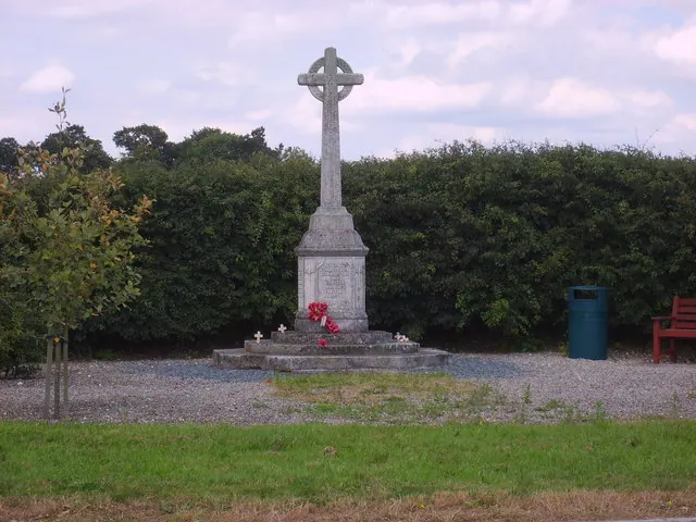
© Sam Kelly · Geograph · CC BY-SA 2.0
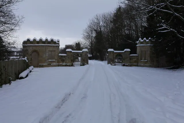
© Michael Jagger · Geograph · CC BY-SA 2.0
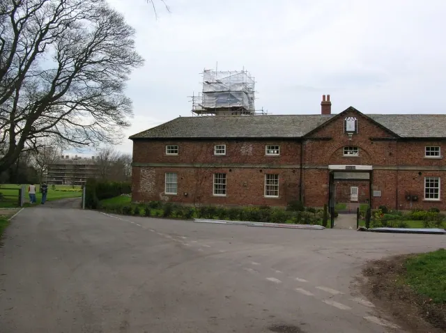
© DS Pugh · Geograph · CC BY-SA 2.0
Images © their respective photographers, licensed under CC BY-SA 2.0 and reused here with attribution. Photographs depict listed buildings, churches and monuments near this settlement and may show neighbouring villages.
Data derived from the Open Domesday project (opendomesday.org), based on the Domesday Book dataset compiled by Professor J.J.N. Palmer and team. The Domesday Book (1086) is in the public domain.
Found an inaccuracy? [email protected]