Hartlington in the Domesday Book (1086)
The 1086 Domesday survey records the settlement of Hartlington, entered under the hundred of Craven in Yorkshire.
Other Settlements in Craven
- Addingham
- Airton
- Anley
- Appletreewick
- Arncliffe
- Arnford
- Barnoldswick
- Bashall [Eaves]
- Battersby [Barn]
- Beamsley
- Birkby [Hall]
- Bogeuurde
- Bolton [Abbey]
- Bolton [by Bowland]
The Meaning of the Name
The name Hartlington is of Anglo-Saxon origin. Its final element derives from the Old English word tūn, a farmstead or village. The first element is most likely a personal name or an early descriptive term, now difficult to recover with certainty. Taken together the name probably meant something close to ‘a farmstead’.
Remarkably, the name has changed little since 1086, when the Domesday scribes wrote it as Hartlington.
Listed Buildings Near Hartlington
Historic England records 25 listed buildings within about a mile of Hartlington. Listing protects structures of special architectural or historic interest, graded I (exceptional), II* (particularly important) and II.
Grade I
- Church of St Wilfrid - 0.34 km
Grade II
- Wharfe Gate - 0.32 km
- The Old Grammar School - 0.33 km
- Methodist Chapel - 0.36 km
- Summersgill and Attached Barn - 0.37 km
- Lych Gate Approximately 30 Metres to West of Church of St Wilfred - 0.37 km
- Stocks Approximately 10 Metres to West of Church of St Wilfred - 0.38 km
- Rose Cottage - 0.42 km
- Colton House and the Grange - 0.42 km
- Riverside - 0.44 km
- Burnsall Bridge - 0.45 km
- Howgill House - 0.45 km
- Red Lion Hotel - 0.45 km
- Ivy Cottage - 0.45 km
- Holly House - 0.46 km
- Skuff View - 0.47 km
- Bridge House and railings with county bridge marker - 0.47 km
- Fell View - 0.5 km
- K6 Telephone Kiosk to South of Clematis Cottage - 0.51 km
- Wharfe House Farmhouse - 0.51 km
- Oat Croft Farmhouse - 0.61 km
- Hartlington Bridge - 0.69 km
- Calgarth House - 0.75 km
- Hartlington Mill - 0.77 km
…and 1 more listed structures in the area.
Scheduled Monuments Near Hartlington
Scheduled monuments are nationally important archaeological sites given legal protection. 2 lie within roughly a mile of Hartlington:
- Churchyard cross, Burnsall - 0.34 km
- Ring cairn on Kail Hill 380m north east of High Woodhouse. - 1.16 km
Hartlington Today
Today Hartlington lies within the administrative area of Craven, and the settlement recorded a population of 68 at the 2021 census. Nine and a half centuries separate that figure from the small rural community the Domesday survey recorded here in 1086.
Read more about modern Hartlington on Wikipedia .
Nearby Domesday Settlements
Other places recorded in the 1086 survey within a few miles:
Heritage Around Hartlington
Photographs of churches, listed buildings and monuments in the vicinity, contributed by volunteers to the Geograph project and reused here under a Creative Commons licence.
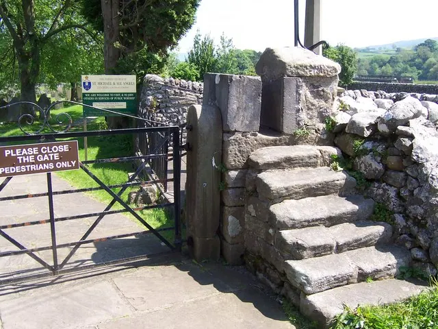
© Joe Regan · Geograph · CC BY-SA 2.0
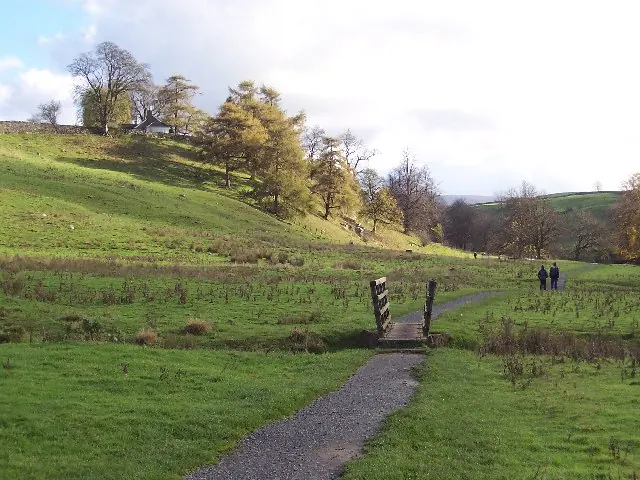
© Chris Heaton · Geograph · CC BY-SA 2.0
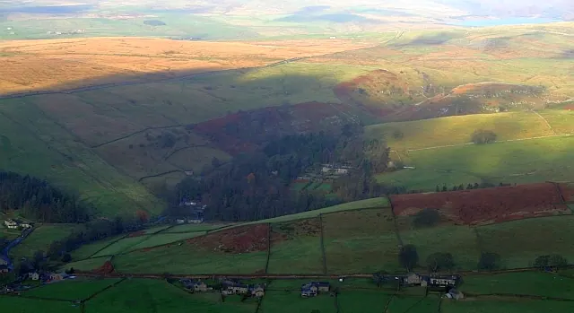
© Steve Partridge · Geograph · CC BY-SA 2.0
Images © their respective photographers, licensed under CC BY-SA 2.0 and reused here with attribution. Photographs depict listed buildings, churches and monuments near this settlement and may show neighbouring villages.
Data derived from the Open Domesday project (opendomesday.org), based on the Domesday Book dataset compiled by Professor J.J.N. Palmer and team. The Domesday Book (1086) is in the public domain.
Found an inaccuracy? [email protected]