Hartington in the Domesday Book (1086)
The settlement of Hartington is recorded in William I’s Domesday survey of 1086, entered under the hundred of Hamston in Derbyshire. The survey assessed Hartington at 6 carucates of taxable land.
Most significantly, Hartington is recorded as waste in 1086 - land rendered uninhabitable and valueless. Before the Conquest, the settlement had been assessed at 2 shillings; by 1086 that value had collapsed entirely. This pattern - prosperity before 1066, devastation by 1086 - is the unmistakable signature of the Harrying of the North , William I’s campaign of systematic destruction across Yorkshire in 1069–70.
Resources Recorded at Hartington (1086)
- Meadow: 6 acres
Other Settlements in Hamston
- Alsop [-en-le-Dale]
- Ashbourne
- Atlow
- Ballidon
- Bonsall
- Bradbourne
- Brassington
- Broadlowash
- Callow
- Carsington
- Cowley
- Cromford
- Elton
- Hanson [Grange]
The Meaning of the Name
The name Hartington is of Anglo-Saxon origin. Its final element derives from the Old English word tūn, a farmstead or village. The first element is most likely a personal name or an early descriptive term, now difficult to recover with certainty. Taken together the name probably meant something close to ‘a farmstead’.
Remarkably, the name has changed little since 1086, when the Domesday scribes wrote it as Hartington.
Listed Buildings Near Hartington
Historic England records 34 listed buildings within about a mile of Hartington. Listing protects structures of special architectural or historic interest, graded I (exceptional), II* (particularly important) and II.
Grade II*
- Church of St Giles - 0.36 km
Grade II
- Charles Cotton Hotel - 0.18 km
- Outbuildings at Mill Lane Farm - 0.19 km
- Dove Cottage and Attached Garden Railings - 0.19 km
- Corner House - 0.19 km
- Ivy Cottage and Rose Cottage - 0.19 km
- Springfield House - 0.2 km
- Mill Lane Farmhouse - 0.2 km
- Thatchers - 0.22 km
- The Old Vicarage and Attached Garden Wall - 0.23 km
- Digmer Farmhouse - 0.23 km
- Devonshire Arms Inn - 0.24 km
- Bank House - 0.25 km
- Nettletor Farmhouse - 0.28 km
- R Stones - General Stores - 0.28 km
- Wiltshire Villa and Minton House Hotel - 0.28 km
- The Old School House - 0.28 km
- Meri Cottage and Nos 2, 3 and 4 - 0.29 km
- Church View Farmhouse and Adjoining Outbuilding - 0.31 km
- Ivydene - 0.31 km
- Watergap Farmhouse - 0.32 km
- Hartington War Memorial - 0.32 km
- Dale House - 0.35 km
- Dale Cottage - 0.43 km
…and 10 more listed structures in the area.
Scheduled Monuments Near Hartington
Scheduled monuments are nationally important archaeological sites given legal protection. 1 lies within roughly a mile of Hartington:
Hartington Today
Today Hartington lies within the administrative area of Hartington Town Quarter, and the settlement recorded a population of 332 at recent figures. Nine and a half centuries separate that figure from the small rural community the Domesday survey recorded here in 1086.
Read more about modern Hartington on Wikipedia .
Nearby Domesday Settlements
Other places recorded in the 1086 survey within a few miles:
- Ludwell - 2.0 km N
- Pilsbury - 3.2 km N
- Cold Eaton - 4.5 km SE
- One Ash - 6.4 km NE
- Alsop -en-le-Dale - 6.4 km SE
- Monyash - 6.7 km NE
Heritage Around Hartington
Photographs of churches, listed buildings and monuments in the vicinity, contributed by volunteers to the Geograph project and reused here under a Creative Commons licence.
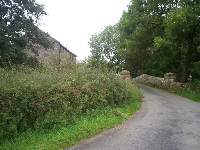
© Jonathan Clitheroe · Geograph · CC BY-SA 2.0
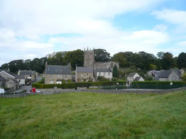
© Alan Heardman · Geograph · CC BY-SA 2.0
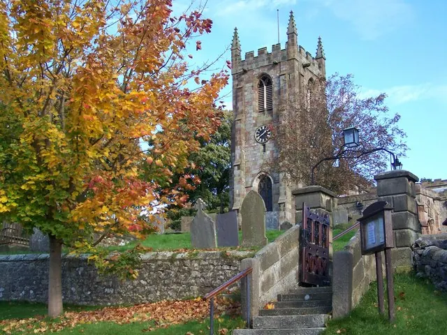
© Debbie J · Geograph · CC BY-SA 2.0
Images © their respective photographers, licensed under CC BY-SA 2.0 and reused here with attribution. Photographs depict listed buildings, churches and monuments near this settlement and may show neighbouring villages.
Data derived from the Open Domesday project (opendomesday.org), based on the Domesday Book dataset compiled by Professor J.J.N. Palmer and team. The Domesday Book (1086) is in the public domain.
Found an inaccuracy? [email protected]