Harthill in the Domesday Book (1086)
The 1086 Domesday survey records the settlement of Harthill, entered under the hundred of Blackwell in Derbyshire. The survey assessed Harthill at 6 carucates of taxable land.
At the time of the survey, Harthill supported a recorded population of 4 villagers, working 1 plough between them.
The drop in value is hard to miss. Before 1066, Harthill was worth 1.51 shillings; by 1086 that had dropped to 3d – a fall of 90%. Most Yorkshire villages that lost value on this scale were swept up in the Harrying of the North – William’s scorched-earth campaign of 1069–70.
The survey lists 2 manors at Harthill under different lords. Splitting a single settlement between multiple tenants was common across the North – Saxon estates broken up and handed to William’s followers after 1066.
Resources Recorded at Harthill (1086)
- Meadow: 5 acres
Other Settlements in Blackwell
- Abney
- Ashford [-in-the-Water]
- Aston
- Bakewell
- Bamford
- Baslow
- Beeley
- Birchills
- Birchover
- Blackwell
- Bradwell
- Bubnell
- Burley
- Burton
The Meaning of the Name
The origin of the name Harthill is not securely established from its modern form alone; like many settlement names in the North it likely combines an Old English or Old Norse personal name with a landscape term.
Remarkably, the name has changed little since 1086, when the Domesday scribes wrote it as Harthill.
Listed Buildings Near Harthill
Historic England records 31 listed buildings within about a mile of Harthill. Listing protects structures of special architectural or historic interest, graded I (exceptional), II* (particularly important) and II.
Grade II
- Broadmeadow Broadmeadow Cottage - 0.21 km
- Barn at Harthill Hall Farm - 0.36 km
- Harthill Hall Harthill Hall Cottage - 0.39 km
- Alport Mill - 0.4 km
- Mill Bridge - 0.41 km
- Mill Cottage - 0.43 km
- Bridge 10 Metres North West of Alport Mill - 0.43 km
- Rose Cottage Sunny View - 0.46 km
- Haddonfields Farmhouse - 0.48 km
- Hill View and Attached Barn - 0.5 km
- Bradford House the Cottage - 0.51 km
- The Cottage - 0.53 km
- Monks Hall and Cottage and attached garden walls and gatepiers - 0.53 km
- Rock House - 0.54 km
- Fern Glen - 0.54 km
- Riverside - 0.54 km
- Harthill Lodge - 0.57 km
- Lathkill House Farmhouse - 0.61 km
- Hawley Bridge 100 Metres North North East of Harthill Lodge - 0.66 km
- Milestone 15 Metres North of Stoney Ley Lodge - 0.98 km
- Raenstor Close and Attached Garage - 0.99 km
- Garden Walls, Pergola and Gatepiers to Raenstor Close - 1.05 km
- Bower Hall - 1.06 km
- Lodge, Stableblock and Outbuilding to Raenstor Close - 1.09 km
…and 7 more listed structures in the area.
Scheduled Monuments Near Harthill
Scheduled monuments are nationally important archaeological sites given legal protection. 2 lie within roughly a mile of Harthill:
- Alport smelt mill - 0.46 km
- Bowl barrow on Haddon Fields - 1.42 km
Harthill Today
Today Harthill lies within the administrative area of Derbyshire Dales, and the settlement recorded a population of 48 at the 2021 census. Nine and a half centuries separate that figure from the small rural community the Domesday survey recorded here in 1086.
Read more about modern Harthill on Wikipedia .
Nearby Domesday Settlements
Other places recorded in the 1086 survey within a few miles:
- Youlgrave - 1.0 km W
- Conksbury - 1.4 km NW
- Stanton -in-Peak - 2.0 km E
- Birchover - 2.2 km SE
- Nether and Over Haddon - 2.8 km NW
- Elton - 3.0 km S
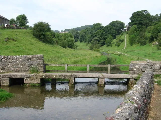
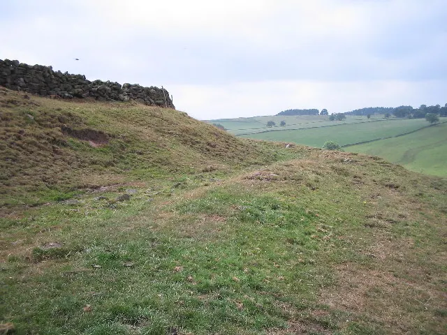
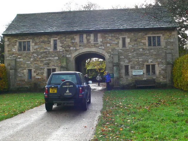
Heritage Around Harthill
Photographs of churches, listed buildings and monuments in the vicinity, contributed by volunteers to the Geograph project and reused here under a Creative Commons licence.
© Dave Bevis · Geograph · CC BY-SA 2.0
© Mark Kelly · Geograph · CC BY-SA 2.0
© Eirian Evans · Geograph · CC BY-SA 2.0
Images © their respective photographers, licensed under CC BY-SA 2.0 and reused here with attribution. Photographs depict listed buildings, churches and monuments near this settlement and may show neighbouring villages.
Data derived from the Open Domesday project (opendomesday.org), based on the Domesday Book dataset compiled by Professor J.J.N. Palmer and team. The Domesday Book (1086) is in the public domain.
Found an inaccuracy? [email protected]