Hartforth in the Domesday Book (1086)
The settlement of Hartforth is recorded in William I’s Domesday survey of 1086, entered under the hundred of Land of Count Alan in Yorkshire.
Other Settlements in Land of Count Alan
- Achebi
- Agglethorpe
- Ainderby [Mires]
- Ainderby [Quernhow]
- Aiskew
- Aldbrough
- Allerthorpe [Hall]
- Ascam
- Ascham
- Asebi
- Aske [Hall]
- Askrigg
- Aysgarth
- Baldersby
The Meaning of the Name
The name Hartforth is of Anglo-Saxon origin. Its final element derives from the Old English word ford, a river crossing. The first element is most likely a personal name or an early descriptive term, now difficult to recover with certainty. Taken together the name probably meant something close to ‘a ford’.
Remarkably, the name has changed little since 1086, when the Domesday scribes wrote it as Hartforth.
Listed Buildings Near Hartforth
Historic England records 19 listed buildings within about a mile of Hartforth. Listing protects structures of special architectural or historic interest, graded I (exceptional), II* (particularly important) and II.
Grade II*
- Hartforth Hall - 0.59 km
Grade II
- Hay Barn Approximately 100 Metres North East of Easingtown Barn - 0.37 km
- Easingtown Barn - 0.42 km
- Gate Piers to South East of no 1 Hartforth Village - 0.46 km
- Brooms Field Barn - 0.46 km
- No 1 Hartforth Village - 0.46 km
- Blackhill Folly - 0.47 km
- Gate Piers to South Drive of Hartforth Hall - 0.49 km
- Cartshed and Granary at Home Farm - 0.53 km
- Gateway to Hartforth Hall - 0.54 km
- Barn and Wheelhouse at Home Farm - 0.54 km
- Former Orangery Approximately Eight Metres North East of Hartforth Hall and Screen Wall Connecting It to Water Tower - 0.55 km
- Fountain and Wall Approximately Five Metres to North East of East Porch of Hartforth Hall - 0.56 km
- Water Tower Approximately Five Metres to North of Hartforth Hall - 0.57 km
- Stable Courtyard to North of Hartforth Hall - 0.57 km
- Hay Barn Approximately 150 Metres North of Hartforth Hall - 0.62 km
- Bridge Over Hartforth Beck - 0.65 km
- Garden Walls of Hartforth Hall - 0.8 km
- Rock Castle - 1.0 km
Hartforth Today
Today Hartforth lies within the administrative area of Gilling with Hartforth and Sedbury, and the settlement recorded a population of 558 at recent figures. Nine and a half centuries separate that figure from the small rural community the Domesday survey recorded here in 1086.
Read more about modern Hartforth on Wikipedia .
Nearby Domesday Settlements
Other places recorded in the 1086 survey within a few miles:
- Didderston Grange - 1.4 km NE
- Gilling - 1.4 km SE
- Melsonby - 2.8 km NE
- Aske Hall - 3.0 km S
- Ravensworth - 3.2 km W
- East Layton - 3.2 km N
Heritage Around Hartforth
Photographs of churches, listed buildings and monuments in the vicinity, contributed by volunteers to the Geograph project and reused here under a Creative Commons licence.
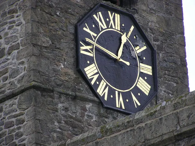
© Hugh Mortimer · Geograph · CC BY-SA 2.0
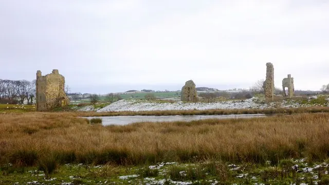
© Andy Waddington · Geograph · CC BY-SA 2.0
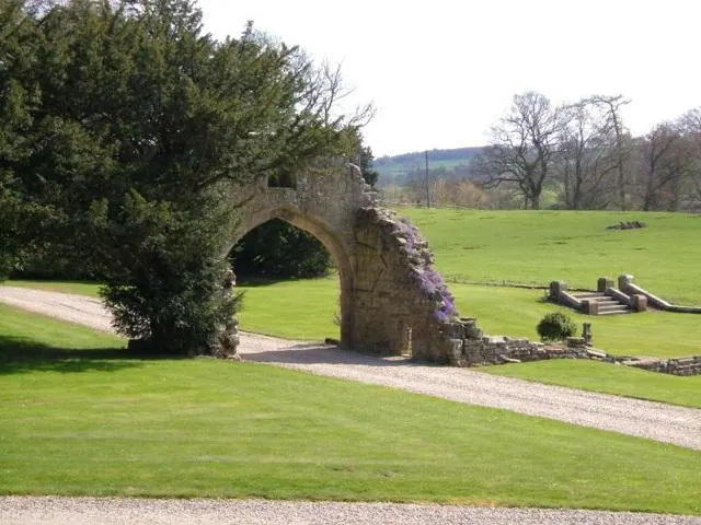
© Roger Dean · Geograph · CC BY-SA 2.0
Images © their respective photographers, licensed under CC BY-SA 2.0 and reused here with attribution. Photographs depict listed buildings, churches and monuments near this settlement and may show neighbouring villages.
Location
54.4534°N, -1.7301°W · Land of Count Alan hundred, Yorkshire
View larger map on OpenStreetMap →Data derived from the Open Domesday project (opendomesday.org), based on the Domesday Book dataset compiled by Professor J.J.N. Palmer and team. The Domesday Book (1086) is in the public domain.
Found an inaccuracy? [email protected]