Harpham in the Domesday Book (1086)
The settlement of Harpham is recorded in William I’s Domesday survey of 1086, entered under the hundred of Burton in Yorkshire. The survey assessed Harpham at 3.0 carucates of taxable land.
At the time of the survey, Harpham supported a recorded population of 7 villagers, 8 smallholders, 2 slaves, 19 freemanmen, working 5 ploughs between them.
By 1086 Harpham was worth 2 shillings, up from 1.5 shillings before the Conquest – a sign this community came through the Conquest without being ruined.
The survey lists 2 manors at Harpham under different lords. Splitting a single settlement between multiple tenants was common across the North – Saxon estates broken up and handed to William’s followers after 1066.
Resources Recorded at Harpham (1086)
- Mills: 1 mill
- Pigs: 23
- Sheep: 80
- Horses (cobs): 2
- Meadow: 2 acres
- Woodland: 100 pigs
Other Settlements in Burton
- Binnington
- Boythorpe
- Burton [Agnes]
- Butterwick
- Carnaby
- Fornetorp
- Ganton
- Gransmoor
- Haisthorpe
- Kilham
- Langtoft
- Lowthorpe
- Octon
- Rudston
The Meaning of the Name
The name Harpham is of Anglo-Saxon origin. Its final element derives from the Old English word hām, a homestead or village. The first element is most likely a personal name or an early descriptive term, now difficult to recover with certainty. Taken together the name probably meant something close to ‘a homestead’.
Remarkably, the name has changed little since 1086, when the Domesday scribes wrote it as Harpham.
Listed Buildings Near Harpham
Historic England records 6 listed buildings within about a mile of Harpham. Listing protects structures of special architectural or historic interest, graded I (exceptional), II* (particularly important) and II.
Grade I
- Church of Saint John of Beverley - 0.4 km
Grade II
- Saint John’s Well - 0.3 km
- K6 Telephone Kiosk - 0.35 km
- Manor Farmhouse - 0.37 km
- Sykes Farmhouse - 0.8 km
- West End Farmhouse - 0.82 km
Scheduled Monuments Near Harpham
Scheduled monuments are nationally important archaeological sites given legal protection. 2 lie within roughly a mile of Harpham:
- Medieval hall and settlement remains immediately west of St John’s Church - 0.49 km
- Nunnery Hill and adjacent earthworks, Little Kelk - 1.38 km
Harpham Today
Today Harpham lies within the administrative area of East Riding of Yorkshire, and the settlement recorded a population of 314 at the 2021 census. Nine and a half centuries separate that figure from the small rural community the Domesday survey recorded here in 1086.
Read more about modern Harpham on Wikipedia .
Nearby Domesday Settlements
Other places recorded in the 1086 survey within a few miles:
- Little Kelk - 2.0 km S
- Lowthorpe - 2.2 km SW
- Burton Agnes - 2.2 km NE
- Thornholme - 2.8 km NE
- Ruston Parva - 3.0 km W
- Great Kelk - 3.2 km S
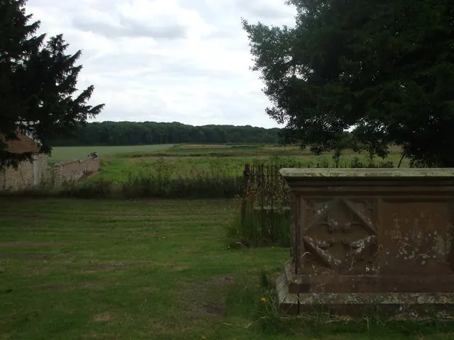
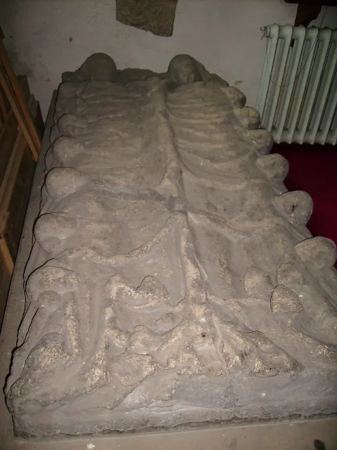
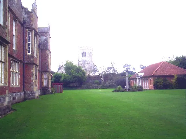
Heritage Around Harpham
Photographs of churches, listed buildings and monuments in the vicinity, contributed by volunteers to the Geograph project and reused here under a Creative Commons licence.
© nick macneill · Geograph · CC BY-SA 2.0
© Phil Catterall · Geograph · CC BY-SA 2.0
© Derek Hayden · Geograph · CC BY-SA 2.0
Images © their respective photographers, licensed under CC BY-SA 2.0 and reused here with attribution. Photographs depict listed buildings, churches and monuments near this settlement and may show neighbouring villages.
Data derived from the Open Domesday project (opendomesday.org), based on the Domesday Book dataset compiled by Professor J.J.N. Palmer and team. The Domesday Book (1086) is in the public domain.
Found an inaccuracy? [email protected]