Harome in the Domesday Book (1086)
The settlement of Harome is recorded in William I’s Domesday survey of 1086, entered under the hundred of Maneshou in Yorkshire.
Other Settlements in Maneshou
- Amotherby
- Ampleforth
- Appleton [le Street]
- Beadlam
- Brawby
- Broughton
- Cawton
- Coulton
- Fadmoor
- Fryton
- Gillamoor
- Gilling [East]
- Griff [Farm]
- Grimston
The Meaning of the Name
The origin of the name Harome is not securely established from its modern form alone; like many settlement names in the North it likely combines an Old English or Old Norse personal name with a landscape term.
Remarkably, the name has changed little since 1086, when the Domesday scribes wrote it as Harome.
Listed Buildings Near Harome
Historic England records 13 listed buildings within about a mile of Harome. Listing protects structures of special architectural or historic interest, graded I (exceptional), II* (particularly important) and II.
Grade II
- Cross House Farmhouse - 0.28 km
- The Star Inn - 0.32 km
- Church of St Saviour - 0.43 km
- The Vicarage - 0.44 km
- Rutland House - 0.46 km
- Greystones Farmhouse - 0.46 km
- Orchard House - 0.48 km
- Headland Cottage - 0.56 km
- White Cottage - 0.6 km
- Mill Cottage - 0.79 km
- Harome Mill and Millhouse and Lamp Post Approximately Eight Metres South of House - 0.8 km
- The Hollies - 0.81 km
- Shaw Moor Farmhouse - 0.82 km
Scheduled Monuments Near Harome
Scheduled monuments are nationally important archaeological sites given legal protection. 2 lie within roughly a mile of Harome:
- Round barrow 420m north of Rye House Farm - 1.26 km
- Round barrow 300m north of Rye House Farm - 1.28 km
Nearby Domesday Settlements
Other places recorded in the 1086 survey within a few miles:
- Wombleton - 2.2 km NE
- Beadlam - 2.2 km NE
- Nawton - 2.2 km NE
- East Newton - 3.0 km S
- West Newton Grange - 3.0 km S
- Sproxton - 3.2 km W
Heritage Around Harome
Photographs of churches, listed buildings and monuments in the vicinity, contributed by volunteers to the Geograph project and reused here under a Creative Commons licence.
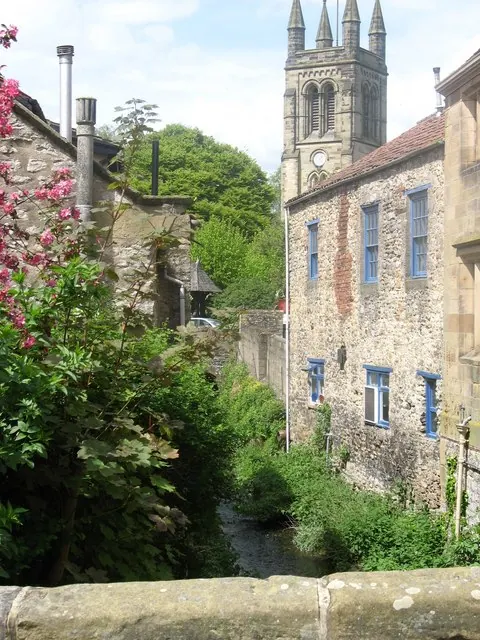
© Tony Murgatroyd · Geograph · CC BY-SA 2.0
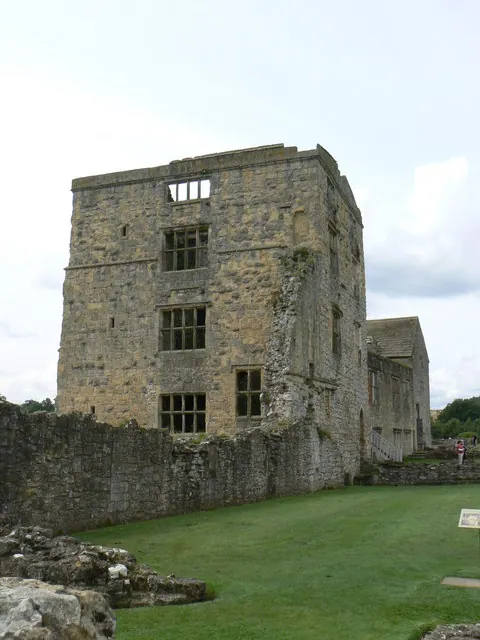
© bernard bradley · Geograph · CC BY-SA 2.0
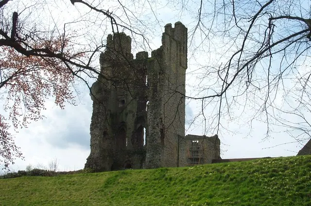
© derek dye · Geograph · CC BY-SA 2.0
Images © their respective photographers, licensed under CC BY-SA 2.0 and reused here with attribution. Photographs depict listed buildings, churches and monuments near this settlement and may show neighbouring villages.
Data derived from the Open Domesday project (opendomesday.org), based on the Domesday Book dataset compiled by Professor J.J.N. Palmer and team. The Domesday Book (1086) is in the public domain.
Found an inaccuracy? [email protected]