Harmby in the Domesday Book (1086)
The settlement of Harmby is recorded in William I’s Domesday survey of 1086, entered under the hundred of Land of Count Alan in Yorkshire.
Other Settlements in Land of Count Alan
- Achebi
- Agglethorpe
- Ainderby [Mires]
- Ainderby [Quernhow]
- Aiskew
- Aldbrough
- Allerthorpe [Hall]
- Ascam
- Ascham
- Asebi
- Aske [Hall]
- Askrigg
- Aysgarth
- Baldersby
The Meaning of the Name
The name Harmby is of Scandinavian origin. Its final element derives from the Old Norse word bý, a farmstead or village. The first element is most likely a personal name or an early descriptive term, now difficult to recover with certainty. Taken together the name probably meant something close to ‘a farmstead’.
Names of this type are a fingerprint of Scandinavian settlement: they cluster across the old Danelaw, where Norse-speaking settlers renamed or founded villages from the late 9th century onward.
Remarkably, the name has changed little since 1086, when the Domesday scribes wrote it as Harmby.
Listed Buildings Near Harmby
Historic England records 15 listed buildings within about a mile of Harmby. Listing protects structures of special architectural or historic interest, graded I (exceptional), II* (particularly important) and II.
Grade I
- Church of St Michael - 1.22 km
Grade II
- Manor House - 0.2 km
- Walk Mill - 0.54 km
- Limekilns Ccc Caravan Site - 0.72 km
- Middleham Bridge - 1.0 km
- School House - 1.09 km
- School - 1.09 km
- Coach-house to North of Spennithorne House - 1.11 km
- Railings and Gates Enclosing Chaytor Memorial, Abutting West Tower of Church of St Michael - 1.2 km
- 2 Coal Depot Sheds at Leyburn Station - 1.21 km
- Gates and Gate-piers to South-east of Spennithorne House - 1.21 km
- Railings, Gates, Gate-piers and Boundary Walls to Spennithorne Hall* - 1.23 km
- Sebastopol Cross and base, approximately 3 metres to east of vestry of Church of St Michael - 1.23 km
- Spennithorne Hall - 1.28 km
- Terrace Retaining Wall at Spennithorne Hall - 1.29 km
Harmby Today
Today Harmby lies within the administrative area of Richmondshire, and the settlement recorded a population of 375 at the 2021 census. Nine and a half centuries separate that figure from the small rural community the Domesday survey recorded here in 1086.
Read more about modern Harmby on Wikipedia .
Nearby Domesday Settlements
Other places recorded in the 1086 survey within a few miles:
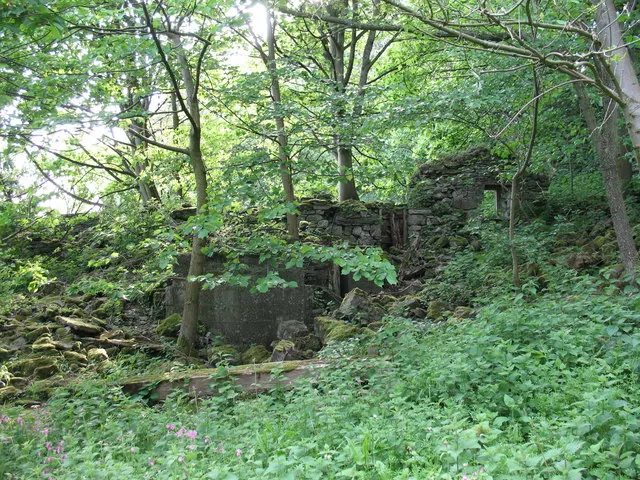
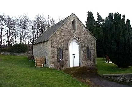
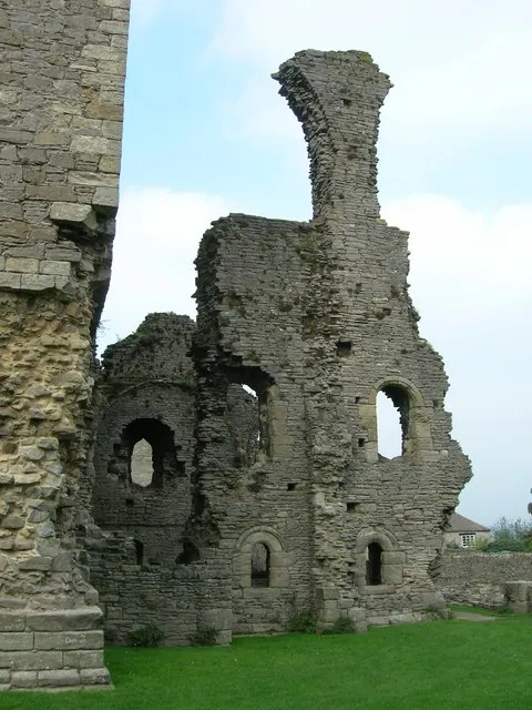
Heritage Around Harmby
Photographs of churches, listed buildings and monuments in the vicinity, contributed by volunteers to the Geograph project and reused here under a Creative Commons licence.
© Gordon Hatton · Geograph · CC BY-SA 2.0
© Bill Henderson · Geograph · CC BY-SA 2.0
© JThomas · Geograph · CC BY-SA 2.0
Images © their respective photographers, licensed under CC BY-SA 2.0 and reused here with attribution. Photographs depict listed buildings, churches and monuments near this settlement and may show neighbouring villages.
Location
54.3008°N, -1.8079°W · Land of Count Alan hundred, Yorkshire
View larger map on OpenStreetMap →Data derived from the Open Domesday project (opendomesday.org), based on the Domesday Book dataset compiled by Professor J.J.N. Palmer and team. The Domesday Book (1086) is in the public domain.
Found an inaccuracy? [email protected]