Harewood in the Domesday Book (1086)
Harewood is named in the Domesday Book, compiled by Norman commissioners in 1086, entered under the hundred of Skyrack in Yorkshire.
Other Settlements in Skyrack
- Adel
- Allerton [Bywater]
- Alwoodley
- Arthington
- Austhorpe
- Baildon
- Bardsey
- Barwick [in Elmet]
- Bichertun
- Bicherun
- Bingley
- Birkby [Hill]
- Bramhope
- Burden [Head]
The Meaning of the Name
The origin of the name Harewood is not securely established from its modern form alone; like many settlement names in the North it likely combines an Old English or Old Norse personal name with a landscape term.
Remarkably, the name has changed little since 1086, when the Domesday scribes wrote it as Harewood.
Listed Buildings Near Harewood
Historic England records 46 listed buildings within about a mile of Harewood. Listing protects structures of special architectural or historic interest, graded I (exceptional), II* (particularly important) and II.
Grade I
- Harewood Castle - 0.45 km
Grade II*
- 2-5, the Avenue - 0.51 km
- 6-10, the Avenue - 0.54 km
- 11, the Avenue - 0.55 km
- 12-15, the Avenue - 0.56 km
Grade II
- 64-66, Harrogate Road - 0.45 km
- 59-63, Harrogate Road - 0.46 km
- Milestone Opposite Spring Gardens Garage - 0.46 km
- 47-50, Bondgate - 0.48 km
- Cutler’s Cottage - 0.49 km
- Number 1 and Attached Screen Wall - 0.5 km
- 40, Harrogate Road - 0.51 km
- 51-54, Bondgate - 0.52 km
- Quadrant Walls and Piers to East Fronts of Number 1 and the Vicarage - 0.52 km
- Swank - 0.52 km
- Keystone Cottage - 0.53 km
- Harewood Arms Public House - 0.53 km
- 35 and 35A, Harrogate Road - 0.54 km
- Number 55 (Bond Cottage) and Number 56 ( Redvers Cottage) - 0.54 km
- Harewood Church of England Junior and Infant School and Number 34 (School House) - 0.55 km
- The Old Vicarage and Attached Screen Wall - 0.55 km
- 102-105, the Avenue - 0.55 km
- Sundial in the Old Vicarage Garden - 0.56 km
- 28-33, Harogate Road - 0.57 km
…and 22 more listed structures in the area.
Scheduled Monuments Near Harewood
Scheduled monuments are nationally important archaeological sites given legal protection. 1 lies within roughly a mile of Harewood:
- Harewood Castle - 0.43 km
Harewood Today
Today Harewood lies within the administrative area of Leeds, and the settlement recorded a population of 3,696 at the 2021 census. Nine and a half centuries separate that figure from the small rural community the Domesday survey recorded here in 1086.
Read more about modern Harewood on Wikipedia .
Nearby Domesday Settlements
Other places recorded in the 1086 survey within a few miles:
- Mortune - 0.0 km N
- Newhall - 0.0 km N
- Stockton - 1.0 km E
- Lofthouse - 2.0 km S
- Kearby Town End - 2.2 km NE
- Dunkeswick - 2.2 km NW
Heritage Around Harewood
Photographs of churches, listed buildings and monuments in the vicinity, contributed by volunteers to the Geograph project and reused here under a Creative Commons licence.
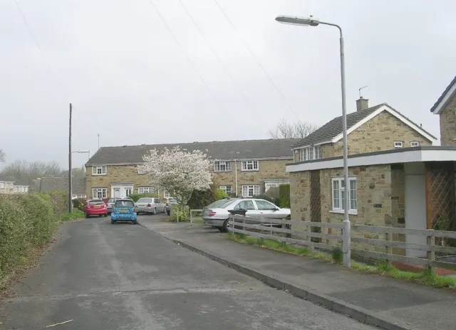
© Betty Longbottom · Geograph · CC BY-SA 2.0
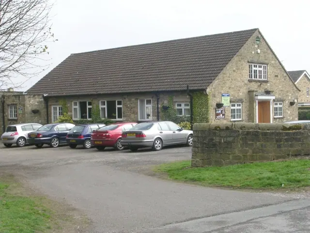
© Betty Longbottom · Geograph · CC BY-SA 2.0
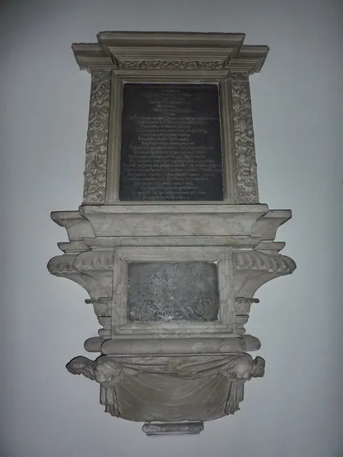
© Alexander P Kapp · Geograph · CC BY-SA 2.0
Images © their respective photographers, licensed under CC BY-SA 2.0 and reused here with attribution. Photographs depict listed buildings, churches and monuments near this settlement and may show neighbouring villages.
Data derived from the Open Domesday project (opendomesday.org), based on the Domesday Book dataset compiled by Professor J.J.N. Palmer and team. The Domesday Book (1086) is in the public domain.
Found an inaccuracy? [email protected]