Hangton Hill in the Domesday Book (1086)
Hangton Hill is named in the Domesday Book, compiled by Norman commissioners in 1086, entered under the hundred of Langbaurgh in Yorkshire. The survey assessed Hangton Hill at 4.5 carucates of taxable land.
At the time of the survey, Hangton Hill supported a recorded population of 25 villagers, 6 smallholders, 6 slaves, working 10 ploughs between them.
The survey records Hangton Hill’s value at 14.7 shillings in 1086. No pre-Conquest figure survives – not unusual in the North, where records were disrupted by the Harrying and by the patchy coverage of the survey.
Resources Recorded at Hangton Hill (1086)
- Cattle: 6
- Sheep: 30
- Meadow: 6 acres
- Woodland: 1 * 1 leagues
Other Settlements in Langbaurgh
- Acklam
- Airy [Holme]
- Aislaby
- Arnodestorp
- Baldebi
- Barnaby
- Barwick
- Battersby
- Bergolbi
- Berguluesbi
- Blaten [Carr]
- Borrowby
- Breck
- Brotton
The Meaning of the Name
The name Hangton Hill is of Anglo-Saxon origin. Its final element derives from the Old English word tūn, a farmstead or village. The first element is most likely a personal name or an early descriptive term, now difficult to recover with certainty. Taken together the name probably meant something close to ‘a farmstead’.
Remarkably, the name has changed little since 1086, when the Domesday scribes wrote it as Hangton Hill.
Listed Buildings Near Hangton Hill
Historic England records 11 listed buildings within about a mile of Hangton Hill. Listing protects structures of special architectural or historic interest, graded I (exceptional), II* (particularly important) and II.
Grade II*
- Wesleyan Chapel - 1.2 km
- Church of St James the Greater - 1.23 km
Grade II
- Stepping Stones Antique Shop, Cottage Attached to Right and Outbuilding to Left - 1.15 km
- Out Buildings to North of Glaisdale Hall - 1.15 km
- Lealholm Bridge - 1.17 km
- Glaisdale Hall and Forecourt Wall - 1.18 km
- Drinking Fountain to North of Lealholm Bridge - 1.19 km
- Rake Farmhouse and Attached Outbuildings - 1.19 km
- Lealholm War Memorial - 1.2 km
- Horse House Farmhouse - 1.24 km
- Farm Building to East of Horse House Farmhouse; and Drinking Fountain - 1.24 km
Nearby Domesday Settlements
Other places recorded in the 1086 survey within a few miles:
Heritage Around Hangton Hill
Photographs of churches, listed buildings and monuments in the vicinity, contributed by volunteers to the Geograph project and reused here under a Creative Commons licence.
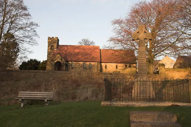
© Colin Grice · Geograph · CC BY-SA 2.0
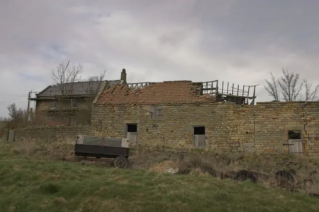
© Colin Grice · Geograph · CC BY-SA 2.0
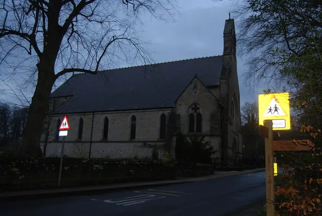
© N Chadwick · Geograph · CC BY-SA 2.0
Images © their respective photographers, licensed under CC BY-SA 2.0 and reused here with attribution. Photographs depict listed buildings, churches and monuments near this settlement and may show neighbouring villages.
Data derived from the Open Domesday project (opendomesday.org), based on the Domesday Book dataset compiled by Professor J.J.N. Palmer and team. The Domesday Book (1086) is in the public domain.
Found an inaccuracy? [email protected]