Hanging Heaton in the Domesday Book (1086)
The settlement of Hanging Heaton is recorded in William I’s Domesday survey of 1086, entered under the hundred of Morley in Yorkshire.
Other Settlements in Morley
- Allerton
- Armley
- Batley
- Beeston
- Bolton
- Bowling
- Bradford
- Bramley
- Calverley
- Carlton
- Chellow [Grange]
- Clayton
- Clifton
- Cruttonstall
The Meaning of the Name
The name Hanging Heaton is of Anglo-Saxon origin. Its final element derives from the Old English word tūn, a farmstead or village. The first element is most likely a personal name or an early descriptive term, now difficult to recover with certainty. Taken together the name probably meant something close to ‘a farmstead’.
Remarkably, the name has changed little since 1086, when the Domesday scribes wrote it as Hanging Heaton.
Listed Buildings Near Hanging Heaton
Historic England records 31 listed buildings within about a mile of Hanging Heaton. Listing protects structures of special architectural or historic interest, graded I (exceptional), II* (particularly important) and II.
Grade II
- Stables to the East of Numbers 17 and 19 - 0.29 km
- 17 and 19, Kirkgate - 0.32 km
- Barn to the South East of Numbers 17 and 19 - 0.32 km
- 12, 14 and 16, Kirkgate - 0.39 km
- Church of St Paul - 0.42 km
- Boundary Stone Opposite St Paul’s Vicarage - 0.47 km
- 110, Oaks Road - 0.48 km
- Railway Viaduct - 0.63 km
- 32-40, Station Road - 0.76 km
- 51, Station Road - 0.77 km
- The Xclusiv, Adjoining Number 51 - 0.77 km
- 24 and 26, Station Road - 0.84 km
- 35 and 37, Station Road - 0.84 km
- Numbers 31 and 33 and Adjoining Warehouse - 0.86 km
- 16 and 18, Station Road - 0.87 km
- 20 and 22, Station Road - 0.87 km
- Number 25 and the Two Adjoining Warehouses - 0.9 km
- Toll Gates Outside Toll Bar Cottage - 0.91 km
- Railway subway MDL1/30, West Street Subway - 0.93 km
- Numbers 13, 15, 17, 19, 21 and 23 and Including Boundary Wall, Piers, Steps and Railings - 0.94 km
- 2, 4, 6 and 8, Station Road - 0.97 km
- Railway subway MDL1/31, Lady Ann Road Subway - 1.03 km
- Batley Barless Fire Company - 1.04 km
- The National Westminster Bank - 1.04 km
…and 7 more listed structures in the area.
Hanging Heaton Today
Today Hanging Heaton lies within the administrative area of Kirklees.
Read more about modern Hanging Heaton on Wikipedia .
Nearby Domesday Settlements
Other places recorded in the 1086 survey within a few miles:
- Batley - 1.4 km NW
- Earlsheaton - 2.0 km S
- Dewsbury - 2.2 km SW
- West Ardsley - 3.6 km NE
- Ossett - 3.6 km SE
- Morley - 5.1 km N
Heritage Around [Hanging] Heaton
Photographs of churches, listed buildings and monuments in the vicinity, contributed by volunteers to the Geograph project and reused here under a Creative Commons licence.
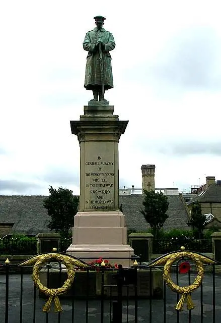
© Betty Longbottom · Geograph · CC BY-SA 2.0
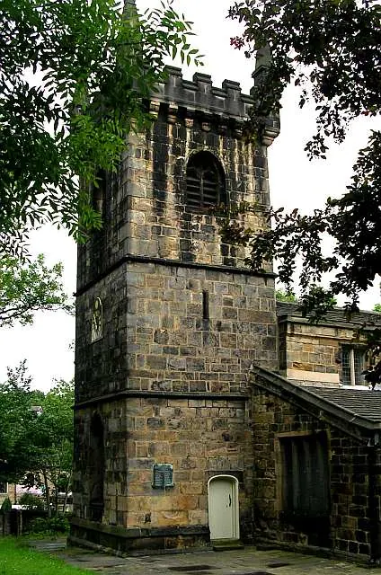
© Betty Longbottom · Geograph · CC BY-SA 2.0
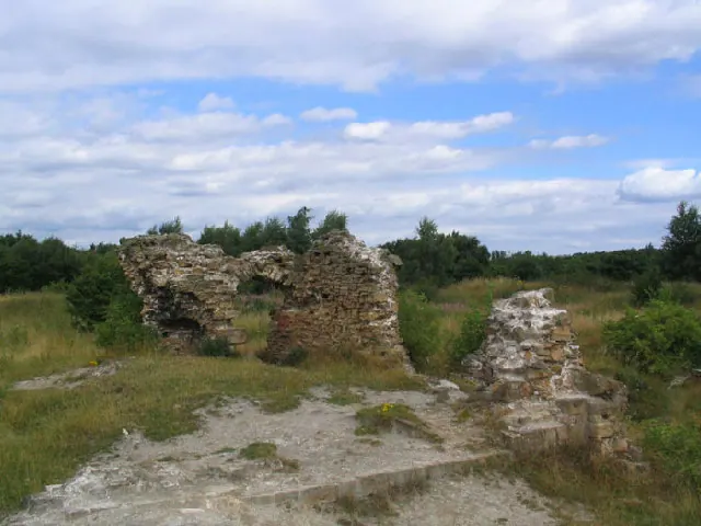
© Mick Melvin · Geograph · CC BY-SA 2.0
Images © their respective photographers, licensed under CC BY-SA 2.0 and reused here with attribution. Photographs depict listed buildings, churches and monuments near this settlement and may show neighbouring villages.
Data derived from the Open Domesday project (opendomesday.org), based on the Domesday Book dataset compiled by Professor J.J.N. Palmer and team. The Domesday Book (1086) is in the public domain.
Found an inaccuracy? [email protected]