Hanging Grimston in the Domesday Book (1086)
Hanging Grimston appears in the Domesday Book of 1086, entered under the hundred of Acklam in Yorkshire.
Other Settlements in Acklam
- Acklam
- Barthorpe [Grange]
- Bugthorpe
- Burythorpe
- Eddlethorpe
- Firby
- Fridaythorpe
- Garrowby [Hall]
- Howsham
- Kirby [Underdale]
- Kirkham
- Leavening
- Leppington
- Menethorpe
The Meaning of the Name
The name Hanging Grimston is of Anglo-Saxon origin. Its final element derives from the Old English word tūn, a farmstead or village. The first element is most likely a personal name or an early descriptive term, now difficult to recover with certainty. Taken together the name probably meant something close to ‘a farmstead’.
Remarkably, the name has changed little since 1086, when the Domesday scribes wrote it as Hanging Grimston.
Scheduled Monuments Near Hanging Grimston
Scheduled monuments are nationally important archaeological sites given legal protection. 21 lie within roughly a mile of Hanging Grimston:
- Hanging Grimston barrow group: a long barrow 400m east of Wold Farm, incorporating part of a prehistoric linear boundary - 0.46 km
- Hanging Grimston barrow group: a bowl barrow 100m north-east of Wold Farm - 0.6 km
- Hanging Grimston barrow group: a bowl barrow 200m west of Wold Farm - 0.61 km
- Hanging Grimston barrow group: a bowl barrow 400m south-west of Wold Farm - 0.64 km
- Hanging Grimston barrow group: a bowl barrow 650m south west of Thixendale Grange - 0.66 km
- Hanging Grimston barrow group: three bowl barrows 350m north-east of Wold Farm - 0.74 km
- The Queen Dike: part of a cross-dyke 600m east of Wold Farm - 0.85 km
- Hanging Grimston barrow group: three bowl barrows 600m south west of Thixendale Grange - 0.86 km
- Hanging Grimston barrow group: a bowl barrow 450m north-east of Wold Farm - 0.89 km
- Hanging Grimston medieval settlement adjacent to Mount Pleasant Farm - 0.91 km
…and 11 more.
Nearby Domesday Settlements
Other places recorded in the 1086 survey within a few miles:
- Uncleby - 1.4 km SE
- Kirby Underdale - 2.0 km S
- Acklam - 2.2 km NW
- Painsthorpe - 2.2 km SE
- Barthorpe Grange - 3.2 km W
- Garrowby Hall - 3.2 km S
Heritage Around [Hanging] Grimston
Photographs of churches, listed buildings and monuments in the vicinity, contributed by volunteers to the Geograph project and reused here under a Creative Commons licence.
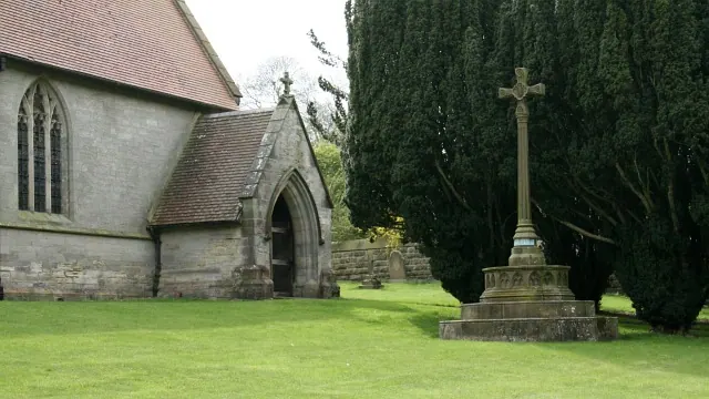
© Alan Walker · Geograph · CC BY-SA 2.0
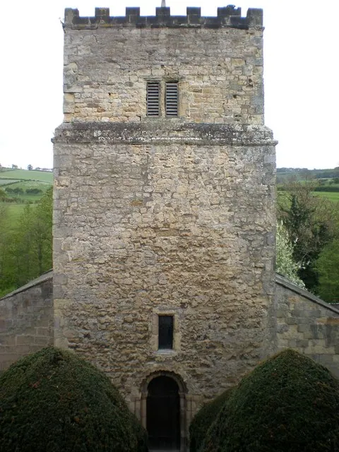
© Dr Patty McAlpin · Geograph · CC BY-SA 2.0
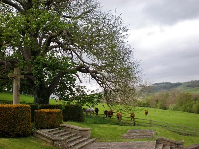
© Dr Patty McAlpin · Geograph · CC BY-SA 2.0
Images © their respective photographers, licensed under CC BY-SA 2.0 and reused here with attribution. Photographs depict listed buildings, churches and monuments near this settlement and may show neighbouring villages.
Data derived from the Open Domesday project (opendomesday.org), based on the Domesday Book dataset compiled by Professor J.J.N. Palmer and team. The Domesday Book (1086) is in the public domain.
Found an inaccuracy? [email protected]