Handsworth in the Domesday Book (1086)
Handsworth is named in the Domesday Book, compiled by Norman commissioners in 1086, entered under the hundred of Strafforth in Yorkshire.
Other Settlements in Strafforth
- Adwick [le Street]
- Adwick [upon Dearne]
- Armthorpe
- Aston
- Attercliffe
- Auckley
- Aughton [Hall]
- Austerfield
- Balby
- Barnbrough
- Barnby [Dun]
- Bentley
- Bilham [House]
- Billingley
The Meaning of the Name
The name Handsworth is of Anglo-Saxon origin. Its final element derives from the Old English word worð, an enclosure or homestead. The first element is most likely a personal name or an early descriptive term, now difficult to recover with certainty. Taken together the name probably meant something close to ‘a enclosure’.
Remarkably, the name has changed little since 1086, when the Domesday scribes wrote it as Handsworth.
Listed Buildings Near Handsworth
Historic England records 8 listed buildings within about a mile of Handsworth. Listing protects structures of special architectural or historic interest, graded I (exceptional), II* (particularly important) and II.
Grade II
- Handsworth Parish Centre and Adjoining Stable Range Pigeoncote and Wall - 0.58 km
- Water Pump and Trough 12 Metres South of Presbytery - 0.6 km
- Church of St Joseph and adjoining presbytery - 0.61 km
- Church of St Mary and Attached Chest Tombs - 0.61 km
- St Joseph’s Roman Catholic Primary School and Boundary Wall - 0.63 km
- Churchyard Walls, Piers and War Memorial at Church of St Mary - 0.64 km
- Jeffcock Memorial Water Trough and Drinking Fountain - 0.79 km
- Bramley Hall - 0.98 km
Handsworth Today
Today Handsworth lies within the administrative area of Sheffield, and the settlement recorded a population of 9,957 at recent figures. Nine and a half centuries separate that figure from the small rural community the Domesday survey recorded here in 1086.
Read more about modern Handsworth on Wikipedia .
Nearby Domesday Settlements
Other places recorded in the 1086 survey within a few miles:
- Orgreave - 1.0 km E
- Treeton - 2.2 km NE
- Brinsworth - 3.0 km N
- Aughton Hall - 4.0 km E
- Tinsley - 4.1 km N
- Beighton - 4.2 km SE
Heritage Around Handsworth
Photographs of churches, listed buildings and monuments in the vicinity, contributed by volunteers to the Geograph project and reused here under a Creative Commons licence.
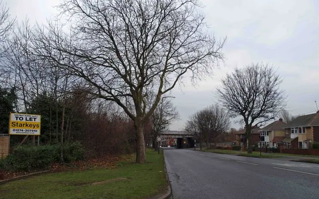
© Steve Fareham · Geograph · CC BY-SA 2.0
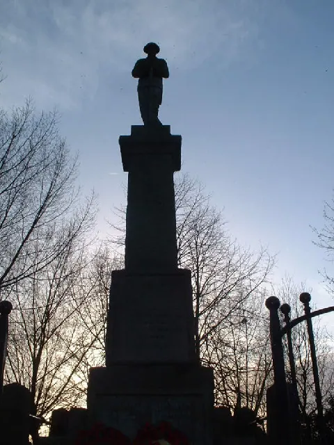
© Webmaster · Geograph · CC BY-SA 2.0
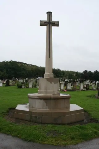
© David Morris · Geograph · CC BY-SA 2.0
Images © their respective photographers, licensed under CC BY-SA 2.0 and reused here with attribution. Photographs depict listed buildings, churches and monuments near this settlement and may show neighbouring villages.
Data derived from the Open Domesday project (opendomesday.org), based on the Domesday Book dataset compiled by Professor J.J.N. Palmer and team. The Domesday Book (1086) is in the public domain.
Found an inaccuracy? [email protected]