Handbridge in the Domesday Book (1086)
Handbridge appears in the Domesday Book of 1086, entered under the hundred of Chester in Cheshire.
Other Settlements in Chester
The Meaning of the Name
The name Handbridge is of Anglo-Saxon origin. Its final element derives from the Old English word brycg, a bridge. The first element is most likely a personal name or an early descriptive term, now difficult to recover with certainty. Taken together the name probably meant something close to ‘a bridge’.
Remarkably, the name has changed little since 1086, when the Domesday scribes wrote it as Handbridge.
Listed Buildings Near Handbridge
Historic England records 23 listed buildings within about a mile of Handbridge. Listing protects structures of special architectural or historic interest, graded I (exceptional), II* (particularly important) and II.
Grade II
- Barn 30 Metres West of Meadowhouse Farmhouse - 0.44 km
- Meadowhouse Farmhouse - 0.45 km
- Greenbank - 0.62 km
- Heronbridge - 0.64 km
- Lodge to Greenbank - 0.65 km
- Walls and Piers to Front of Greenbank - 0.65 km
- Milepost to Chester Cross 75 Metres South of Netherleigh House - 0.75 km
- Netherleigh House, Yard Walls and Former Coach House - 0.81 km
- Garden Wall and Gates of Netherleigh House - 0.82 km
- 23, 25 and 25A, Eaton Road - 1.1 km
- 19 and 21, Eaton Road - 1.13 km
- 55, Pyecroft Street - 1.14 km
- Smaller L-shaped Farmbuilding at Huntington Old Hall - 1.16 km
- 15 and 17, Eaton Road - 1.17 km
- The Carlton Tavern - 1.17 km
- Larger L-shaped Farmbuilding of Huntington Old Hall - 1.2 km
- 1A and 3-37, Pyecroft Street - 1.23 km
- 16 and 18, Victoria Pathway - 1.27 km
- 15 and 17, Victoria Pathway - 1.28 km
- Ebury House St Marys Cottage - 1.29 km
- Boys Club - 1.29 km
- 12 and 14, Victoria Pathway - 1.29 km
- 1, Pyecroft Street - 1.3 km
Scheduled Monuments Near Handbridge
Scheduled monuments are nationally important archaeological sites given legal protection. 4 lie within roughly a mile of Handbridge:
- Heronbridge Roman site - 0.93 km
- Huntington Hall moated site - 1.07 km
- Roman quarry including Edgar’s Cave and the rock-cut figure of Minerva on Edgar’s Field, 150m south west of Dee Bridge - 1.47 km
- Dee Bridge - 1.54 km
Handbridge Today
Today Handbridge lies within the administrative area of Cheshire West and Chester, and the settlement recorded a population of 4,223 at recent figures. Nine and a half centuries separate that figure from the small rural community the Domesday survey recorded here in 1086.
Read more about modern Handbridge on Wikipedia .
Nearby Domesday Settlements
Other places recorded in the 1086 survey within a few miles:
Heritage Around Handbridge
Photographs of churches, listed buildings and monuments in the vicinity, contributed by volunteers to the Geograph project and reused here under a Creative Commons licence.
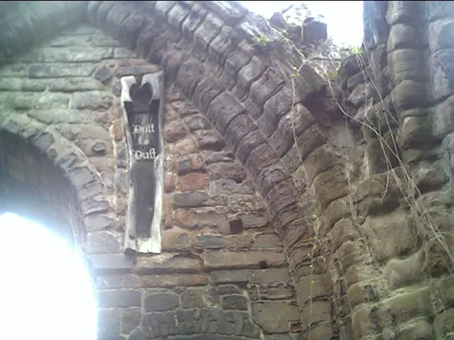
© chestertouristcom · Geograph · CC BY-SA 2.0
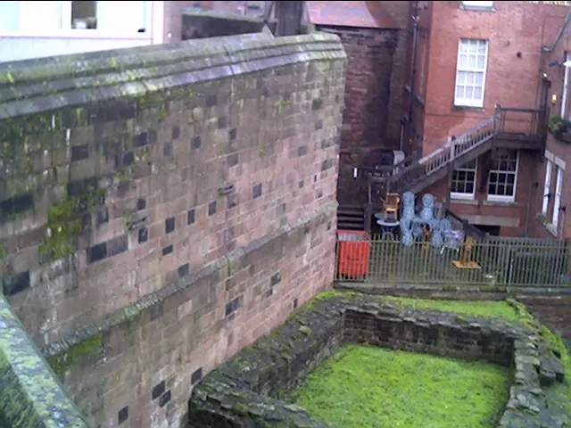
© chestertouristcom · Geograph · CC BY-SA 2.0
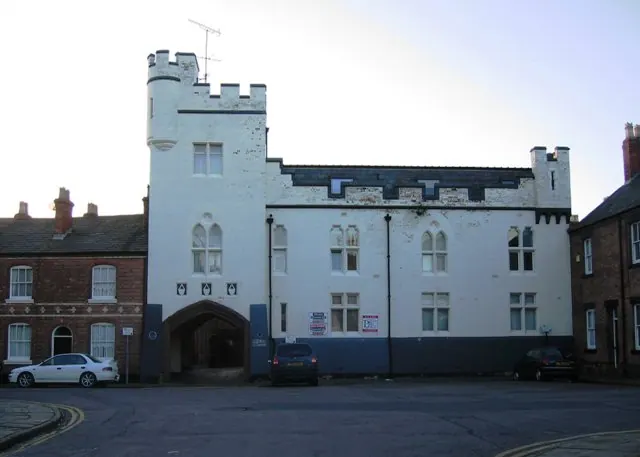
© John S Turner · Geograph · CC BY-SA 2.0
Images © their respective photographers, licensed under CC BY-SA 2.0 and reused here with attribution. Photographs depict listed buildings, churches and monuments near this settlement and may show neighbouring villages.
Data derived from the Open Domesday project (opendomesday.org), based on the Domesday Book dataset compiled by Professor J.J.N. Palmer and team. The Domesday Book (1086) is in the public domain.
Found an inaccuracy? [email protected]