Hampton in the Domesday Book (1086)
The 1086 Domesday survey records the settlement of Hampton, entered under the hundred of Duddeston in Cheshire. The survey assessed Hampton at 3 carucates of taxable land.
Most significantly, Hampton is recorded as waste in 1086 - land rendered uninhabitable and valueless. Before the Conquest, the settlement had been assessed at 10d; by 1086 that value had collapsed entirely. This pattern - prosperity before 1066, devastation by 1086 - is the unmistakable signature of the Harrying of the North , William I’s campaign of systematic destruction across Yorkshire in 1069–70.
Other Settlements in Duddeston
- Bettisfield
- Bickerton
- Bickley
- Boughton
- Broxton
- Burwardestone
- Burwardsley and [Higher] Burwardsley
- Caldecott
- Calvintone
- Cheaveley
- Cholmondeley
- Chowley
- Christleton
- Clutton
The Meaning of the Name
The name Hampton is of Anglo-Saxon origin. Its final element derives from the Old English word tūn, a farmstead or village. The first element is most likely a personal name or an early descriptive term, now difficult to recover with certainty. Taken together the name probably meant something close to ‘a farmstead’.
Remarkably, the name has changed little since 1086, when the Domesday scribes wrote it as Hampton.
Listed Buildings Near Hampton
Historic England records 10 listed buildings within about a mile of Hampton. Listing protects structures of special architectural or historic interest, graded I (exceptional), II* (particularly important) and II.
Grade II*
- Hampton Old Hall - 1.29 km
Grade II
- The Clock House - 0.49 km
- Ashton Cross Farmhouse - 0.6 km
- The Round House - 0.6 km
- Guidepost at Ngr 496 486 - 0.84 km
- Ebnal Old Hall - 0.9 km
- Higher Hall Farmhouse - 0.97 km
- Hampton Post - 1.16 km
- Barn to North West of Hampton Old Hall - 1.24 km
- Mole End - 1.29 km
Scheduled Monuments Near Hampton
Scheduled monuments are nationally important archaeological sites given legal protection. 1 lies within roughly a mile of Hampton:
- Old Hall Heys moated site - 0.37 km
Hampton Today
Today Hampton lies within the administrative area of No Man’s Heath and District, and the settlement recorded a population of 405 at the 2011 census. Nine and a half centuries separate that figure from the small rural community the Domesday survey recorded here in 1086.
Read more about modern Hampton on Wikipedia .
Nearby Domesday Settlements
Other places recorded in the 1086 survey within a few miles:
Heritage Around Hampton
Photographs of churches, listed buildings and monuments in the vicinity, contributed by volunteers to the Geograph project and reused here under a Creative Commons licence.
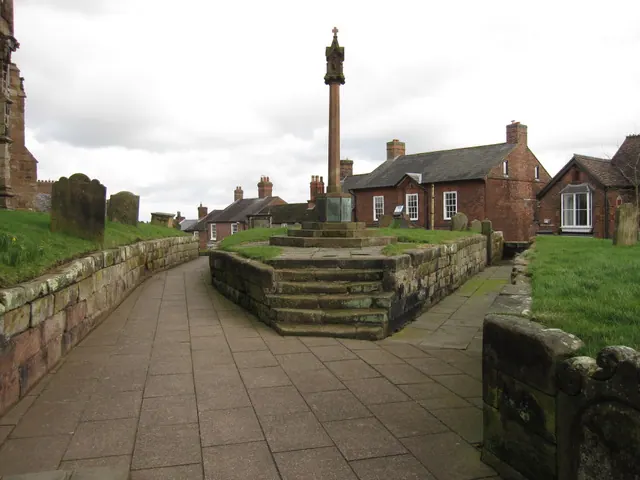
© John S Turner · Geograph · CC BY-SA 2.0
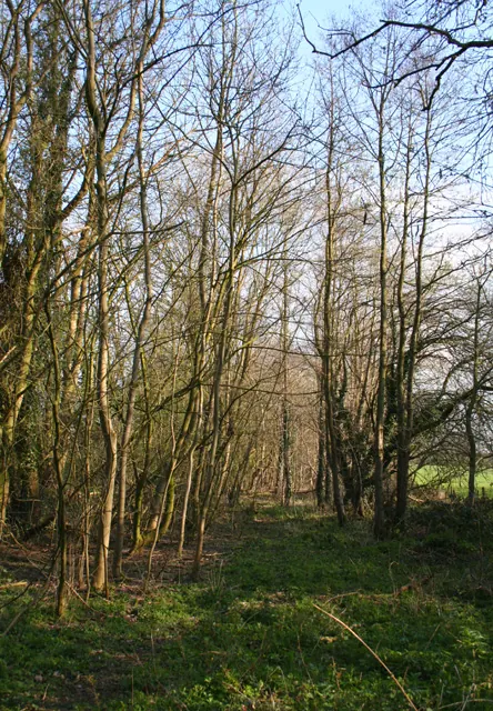
© Espresso Addict · Geograph · CC BY-SA 2.0
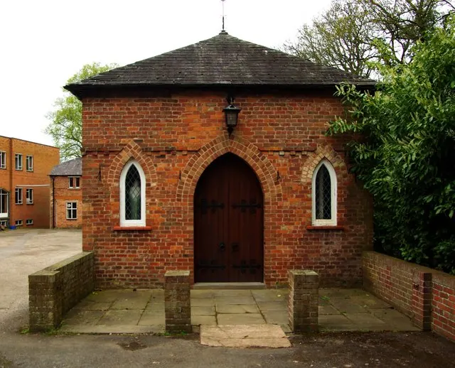
© Jim Osley · Geograph · CC BY-SA 2.0
Images © their respective photographers, licensed under CC BY-SA 2.0 and reused here with attribution. Photographs depict listed buildings, churches and monuments near this settlement and may show neighbouring villages.
Data derived from the Open Domesday project (opendomesday.org), based on the Domesday Book dataset compiled by Professor J.J.N. Palmer and team. The Domesday Book (1086) is in the public domain.
Found an inaccuracy? [email protected]