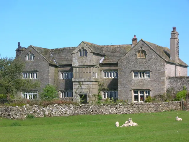
Hammerton Hall in the Domesday Book (1086)
Hammerton Hall is named in the Domesday Book, compiled by Norman commissioners in 1086, entered under the hundred of Craven in Yorkshire.
Other Settlements in Craven
- Addingham
- Airton
- Anley
- Appletreewick
- Arncliffe
- Arnford
- Barnoldswick
- Bashall [Eaves]
- Battersby [Barn]
- Beamsley
- Birkby [Hall]
- Bogeuurde
- Bolton [Abbey]
- Bolton [by Bowland]
The Meaning of the Name
The name Hammerton Hall is of Anglo-Saxon origin. Its final element derives from the Old English word tūn, a farmstead or village. The first element is most likely a personal name or an early descriptive term, now difficult to recover with certainty. Taken together the name probably meant something close to ‘a farmstead’.
Remarkably, the name has changed little since 1086, when the Domesday scribes wrote it as Hammerton Hall.
Listed Buildings Near Hammerton Hall
Historic England records 37 listed buildings within about a mile of Hammerton Hall. Listing protects structures of special architectural or historic interest, graded I (exceptional), II* (particularly important) and II.
Grade II*
- Hammerton Hall - 0.4 km
- Townhead - 1.02 km
Grade II
- Holmehead Bridge - 0.38 km
- Bell Sykes Farmhouse - 0.81 km
- Old Bridge - 1.06 km
- Rock House and Barn Adjoining to West - 1.14 km
- Ivy Cottage - 1.14 km
- War Memorial - 1.15 km
- Railings, Gate Piers and Gates South of Rock House - 1.15 km
- New Bridge - 1.15 km
- Duckmire Farmhouse and Barn Adjoining to West - 1.15 km
- 4, Chapel Street - 1.16 km
- 10, Chapel Street - 1.16 km
- 12, Chapel Street - 1.16 km
- Cross Base Adjoining South East Side of New Bridge - 1.16 km
- 6 and 8, Chapel Street - 1.16 km
- 16 and 18, Chapel Street - 1.17 km
- 20, 22 and 24, Chapel Street - 1.17 km
- The Hark to Bounty - 1.17 km
- 14, Chapel Street - 1.17 km
- Youth Hostel - 1.18 km
- 1, Town End - 1.19 km
- 5, 7 and 9, Town End - 1.19 km
- 3, Town End - 1.19 km
…and 13 more listed structures in the area.
Nearby Domesday Settlements
Other places recorded in the 1086 survey within a few miles:
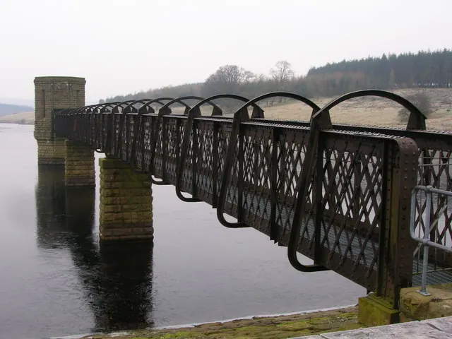
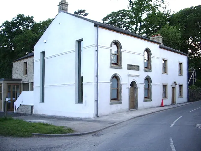
Heritage Around Hammerton [Hall]
Photographs of churches, listed buildings and monuments in the vicinity, contributed by volunteers to the Geograph project and reused here under a Creative Commons licence.
© John H Darch · Geograph · CC BY-SA 2.0
© Alexander P Kapp · Geograph · CC BY-SA 2.0
© John H Darch · Geograph · CC BY-SA 2.0
Images © their respective photographers, licensed under CC BY-SA 2.0 and reused here with attribution. Photographs depict listed buildings, churches and monuments near this settlement and may show neighbouring villages.
Data derived from the Open Domesday project (opendomesday.org), based on the Domesday Book dataset compiled by Professor J.J.N. Palmer and team. The Domesday Book (1086) is in the public domain.
Found an inaccuracy? [email protected]