Halton in the Domesday Book (1086)
Halton appears in the Domesday Book of 1086, entered under the hundred of Tunendune in Cheshire.
Other Settlements in Tunendune
- Alretunstall
- Antrobus
- Baguley
- Bowdon
- Chapmonswiche
- Cogshall
- Dutton
- Hale
- Knutsford
- Mere
- Middle Aston
- Millington
- Rostherne
- Sinderland
The Meaning of the Name
The name Halton is of Anglo-Saxon origin. Its final element derives from the Old English word tūn, a farmstead or village. The first element is most likely a personal name or an early descriptive term, now difficult to recover with certainty. Taken together the name probably meant something close to ‘a farmstead’.
Remarkably, the name has changed little since 1086, when the Domesday scribes wrote it as Halton.
Listed Buildings Near Halton
Historic England records 22 listed buildings within about a mile of Halton. Listing protects structures of special architectural or historic interest, graded I (exceptional), II* (particularly important) and II.
Grade I
- Halton Castle - 0.61 km
Grade II*
- The Parish Library - 0.46 km
- The Vicarage - 0.49 km
- The Old Hall - 0.57 km
- The Castle Hotel Public House - 0.58 km
- The Seneschal’s House - 0.79 km
- The Tricorn Public House - 0.82 km
Grade II
- 59, 61 and 63, Main Street - 0.39 km
- Former Rock Farm House - 0.4 km
- 125 and 127, Main Street - 0.44 km
- 88, 90, 92 and 94, Main Street - 0.44 km
- 6, 8 and 10, Castle Road - 0.46 km
- Church of St Mary - 0.46 km
- Gate Piers and Surrounding Wall to Library - 0.47 km
- 12, 14 and 16, Castle Road - 0.47 km
- Holly Bank House - 0.48 km
- Village Farmhouse - 0.54 km
- The Lodge - 0.57 km
- Halton House - 0.65 km
- 31, Main Street - 0.66 km
- The Norton Arms Public House - 0.75 km
- The Tricorn Public House - 0.81 km
Scheduled Monuments Near Halton
Scheduled monuments are nationally important archaeological sites given legal protection. 1 lies within roughly a mile of Halton:
Nearby Domesday Settlements
Other places recorded in the 1086 survey within a few miles:
Heritage Around Halton
Photographs of churches, listed buildings and monuments in the vicinity, contributed by volunteers to the Geograph project and reused here under a Creative Commons licence.
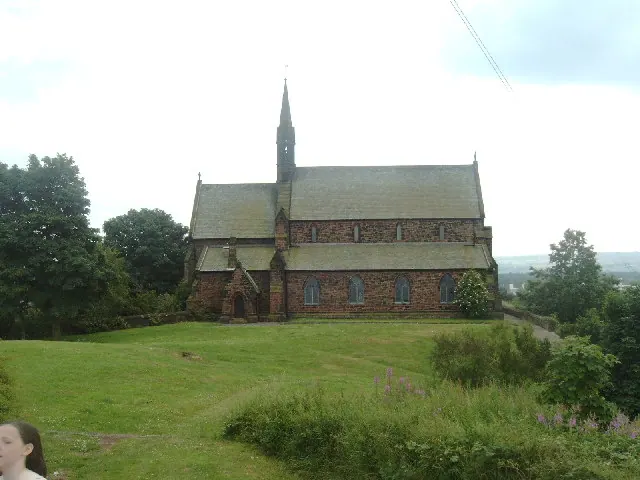
© russ · Geograph · CC BY-SA 2.0
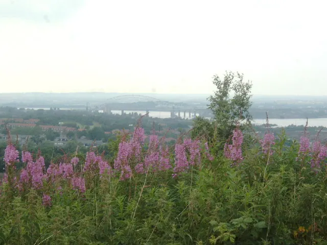
© russ · Geograph · CC BY-SA 2.0
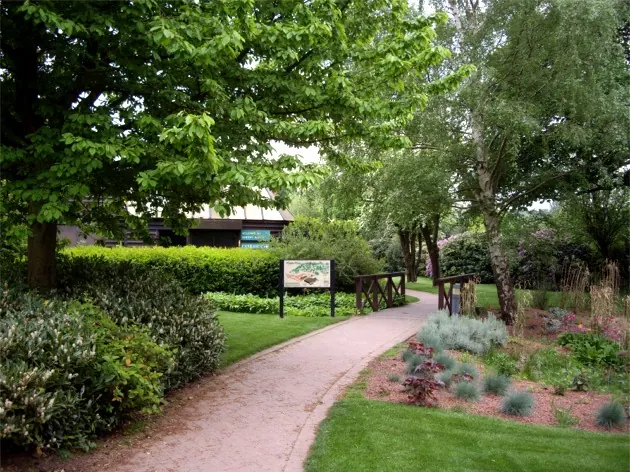
© Tom Pennington · Geograph · CC BY-SA 2.0
Images © their respective photographers, licensed under CC BY-SA 2.0 and reused here with attribution. Photographs depict listed buildings, churches and monuments near this settlement and may show neighbouring villages.
Data derived from the Open Domesday project (opendomesday.org), based on the Domesday Book dataset compiled by Professor J.J.N. Palmer and team. The Domesday Book (1086) is in the public domain.
Found an inaccuracy? [email protected]