Halton in the Domesday Book (1086)
Halton appears in the Domesday Book of 1086, entered under the hundred of Skyrack in Yorkshire.
Other Settlements in Skyrack
- Adel
- Allerton [Bywater]
- Alwoodley
- Arthington
- Austhorpe
- Baildon
- Bardsey
- Barwick [in Elmet]
- Bichertun
- Bicherun
- Bingley
- Birkby [Hill]
- Bramhope
- Burden [Head]
The Meaning of the Name
The name Halton is of Anglo-Saxon origin. Its final element derives from the Old English word tūn, a farmstead or village. The first element is most likely a personal name or an early descriptive term, now difficult to recover with certainty. Taken together the name probably meant something close to ‘a farmstead’.
Remarkably, the name has changed little since 1086, when the Domesday scribes wrote it as Halton.
Listed Buildings Near Halton
Historic England records 46 listed buildings within about a mile of Halton. Listing protects structures of special architectural or historic interest, graded I (exceptional), II* (particularly important) and II.
Grade II
- Stable Block at Harden Grange Farm - 0.2 km
- Footbridge Over Harden Beck to South East of the Lodge to Harden Grange - 0.29 km
- Barn Low Park - 0.33 km
- Wood Bank - 0.44 km
- Entrance Gate Piers to St Ives Estate - 0.51 km
- St Ives Mansion House - 0.53 km
- Outbuilding Approximately 15 Metres North East of Number 3 Cuckoo Nest - 0.54 km
- Steps, Gate Piers and Flanking Walls to Front of Number Cuckoo Nest - 0.55 km
- Cuckoo Nest - 0.55 km
- Old Harden Grange - 0.57 km
- The Stable Block Used by Turf Research Institute - 0.57 km
- Wall Attached to South Front of the Cottage at Old Harden Grange - 0.58 km
- The Cottage Attached at Right Angles to North West Corner of Old Harden Grange - 0.58 km
- Wall to Rear of the Cottage at Old Harden Grange Forming Walled Garden - 0.6 km
- Bettys Lodge - 0.61 km
- Dutch Barn to Rear of the Home Farm Building at St Ives - 0.65 km
- Ferrands Stone, approximately 15 metres east of Wood Side House - 0.66 km
- Footbridge Approximately 10 Metres East of Coppice Pond - 0.67 km
- The Barn - 0.72 km
- Rievaulx Cottage - 0.73 km
- Mill Cottage - 0.75 km
- Footbridge at Beckfoot Approximately 5 Metres to South of Mill Cottage - 0.75 km
- St Davids Ruin - 0.76 km
- Templar Cottage, Beckfoot Farmhouse and Beckfoot Cottage - 0.9 km
…and 22 more listed structures in the area.
Scheduled Monuments Near Halton
Scheduled monuments are nationally important archaeological sites given legal protection. 1 lies within roughly a mile of Halton:
Nearby Domesday Settlements
Other places recorded in the 1086 survey within a few miles:
- Bingley - 1.4 km NE
- Marley - 2.0 km N
- Wilsden - 2.0 km S
- Cottingley - 2.2 km SE
- Micklethwaite - 3.2 km N
- Eldwick - 3.6 km NE
Heritage Around Halton
Photographs of churches, listed buildings and monuments in the vicinity, contributed by volunteers to the Geograph project and reused here under a Creative Commons licence.
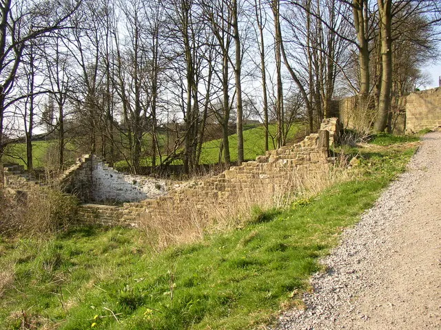
© Humphrey Bolton · Geograph · CC BY-SA 2.0
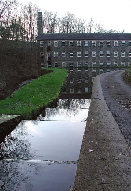
© Paul Glazzard · Geograph · CC BY-SA 2.0
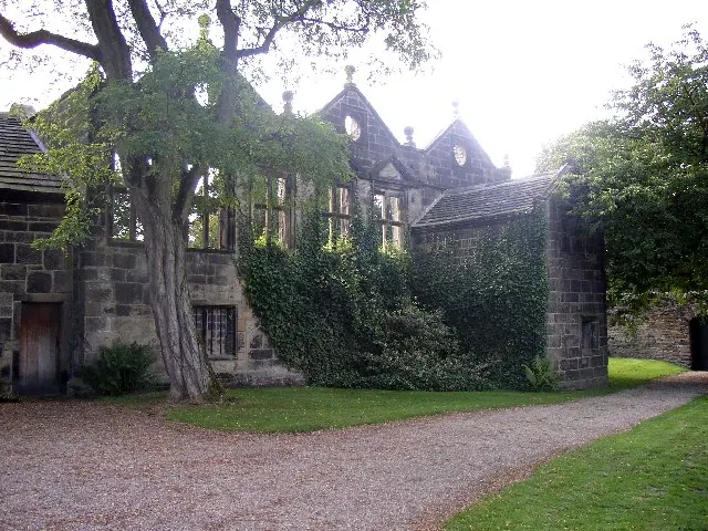
© Humphrey Bolton · Geograph · CC BY-SA 2.0
Images © their respective photographers, licensed under CC BY-SA 2.0 and reused here with attribution. Photographs depict listed buildings, churches and monuments near this settlement and may show neighbouring villages.
Data derived from the Open Domesday project (opendomesday.org), based on the Domesday Book dataset compiled by Professor J.J.N. Palmer and team. The Domesday Book (1086) is in the public domain.
Found an inaccuracy? [email protected]