Halton in the Domesday Book (1086)
Halton appears in the Domesday Book of 1086, entered under the hundred of Skyrack in Yorkshire.
Other Settlements in Skyrack
- Adel
- Allerton [Bywater]
- Alwoodley
- Arthington
- Austhorpe
- Baildon
- Bardsey
- Barwick [in Elmet]
- Bichertun
- Bicherun
- Bingley
- Birkby [Hill]
- Bramhope
- Burden [Head]
The Meaning of the Name
The name Halton is of Anglo-Saxon origin. Its final element derives from the Old English word tūn, a farmstead or village. The first element is most likely a personal name or an early descriptive term, now difficult to recover with certainty. Taken together the name probably meant something close to ‘a farmstead’.
Remarkably, the name has changed little since 1086, when the Domesday scribes wrote it as Halton.
Listed Buildings Near Halton
Historic England records 25 listed buildings within about a mile of Halton. Listing protects structures of special architectural or historic interest, graded I (exceptional), II* (particularly important) and II.
Grade I
- Church of St Mary - 0.75 km
Grade II*
- Church of St Wilfrid - 0.92 km
Grade II
- Halton Primary School - 0.29 km
- Dial House - 0.5 km
- Ivy House - 0.72 km
- The Coach House - 0.75 km
- Lychgate and churchyard wall to north and east of Church of St Mary - 0.77 km
- Two Chest Tombs Approximately 2 Metres East of Church of St Mary - 0.78 km
- North Lodges with wall and gate piers at Temple Newsam - 0.79 km
- 394, Selby Road - 0.79 km
- Remains of Archway to Stables South of Number 5 - 0.79 km
- Manor House and the Keep - 0.79 km
- Number 5 Including Stables and Outbuildings Immediately to South - 0.8 km
- 1 and 2, Colton Road - 0.81 km
- 3, 3A and 4, Colton Road - 0.81 km
- Boundary Wall to North of Temple Newsam Park, to East West of North Lodges - 0.82 km
- 396, Selby Road - 0.82 km
- The Grange - 0.83 km
- Gate Piers, Overthrow and Railings to the Grange - 0.83 km
- Barn at Temple Newsam to North East of the Stables - 1.23 km
- Rose Garden Wall at Temple Newsam at Ngr 3631 3247 - 1.23 km
- Tower at Seacroft Hospital - 1.28 km
- Home Farmhouse - 1.28 km
- Dovecote, Laundry and Sheds at Home Farm - 1.29 km
…and 1 more listed structures in the area.
Scheduled Monuments Near Halton
Scheduled monuments are nationally important archaeological sites given legal protection. 1 lies within roughly a mile of Halton:
- Shrunken medieval village of Colton - 1.44 km
Halton Today
Today Halton lies within the administrative area of Leeds, and the settlement recorded a population of 7,845 at recent figures. Nine and a half centuries separate that figure from the small rural community the Domesday survey recorded here in 1086.
Read more about modern Halton on Wikipedia .
Nearby Domesday Settlements
Other places recorded in the 1086 survey within a few miles:
Heritage Around Halton
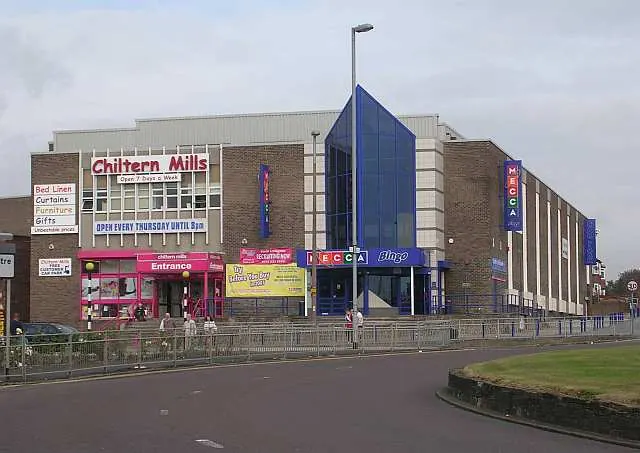
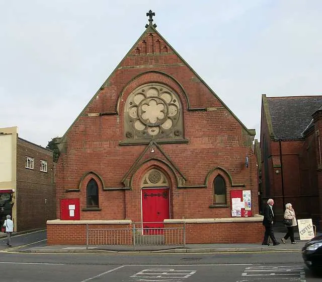
Photographs of churches, listed buildings and monuments in the vicinity, contributed by volunteers to the Geograph project and reused here under a Creative Commons licence.
© Betty Longbottom · Geograph · CC BY-SA 2.0
© Betty Longbottom · Geograph · CC BY-SA 2.0

© Lis Burke · Geograph · CC BY-SA 2.0
Images © their respective photographers, licensed under CC BY-SA 2.0 and reused here with attribution. Photographs depict listed buildings, churches and monuments near this settlement and may show neighbouring villages.
Data derived from the Open Domesday project (opendomesday.org), based on the Domesday Book dataset compiled by Professor J.J.N. Palmer and team. The Domesday Book (1086) is in the public domain.
Found an inaccuracy? [email protected]