Hallam in the Domesday Book (1086)
The settlement of Hallam is recorded in William I’s Domesday survey of 1086, entered under the hundred of Strafforth in Yorkshire.
Other Settlements in Strafforth
- Adwick [le Street]
- Adwick [upon Dearne]
- Armthorpe
- Aston
- Attercliffe
- Auckley
- Aughton [Hall]
- Austerfield
- Balby
- Barnbrough
- Barnby [Dun]
- Bentley
- Bilham [House]
- Billingley
The Meaning of the Name
The origin of the name Hallam is not securely established from its modern form alone; like many settlement names in the North it likely combines an Old English or Old Norse personal name with a landscape term.
Remarkably, the name has changed little since 1086, when the Domesday scribes wrote it as Hallam.
Listed Buildings Near Hallam
Historic England records 27 listed buildings within about a mile of Hallam. Listing protects structures of special architectural or historic interest, graded I (exceptional), II* (particularly important) and II.
Grade II
- Holly Mount - 0.4 km
- The Barncliff Stoop - 0.46 km
- The Grange Farmhouse - 0.5 km
- The Barn - 0.51 km
- The Towers and Attached Garden Wall - 0.58 km
- 109, Tom Lane - 0.65 km
- The Lodge to Towers and Attached Gateway - 0.67 km
- Stumperlowe Cottage and Adjoining Barn - 0.7 km
- Stumperlowe Hall - 0.77 km
- Stumperlowe Grange Stumperlowe House - 0.78 km
- Electric Transformer at Junction With Belgrave Road - 0.88 km
- Overbridge carrying Stumperlowe Crescent Road - 0.93 km
- Storth Oaks and Adjoining Stable Range and Gateway - 0.94 km
- War Memorial and Railing at Junction With Canterbury Avenue - 0.99 km
- Christ Church - 1.0 km
- The Guildhall - 1.02 km
- 464, Fulwood Road - 1.04 km
- 454 and 456, Fulwood Road - 1.05 km
- 460 and 462, Fulwood Road - 1.05 km
- 458, Fulwood Road - 1.05 km
- 446 and 448, Fulwood Road - 1.06 km
- 450 and 452, Fulwood Road - 1.06 km
- Boundary Wall and Gate Piers to Numbers 446-464 - 1.08 km
- K6 telephone kiosk at junction with Tom Lane - 1.08 km
…and 3 more listed structures in the area.
Scheduled Monuments Near Hallam
Scheduled monuments are nationally important archaeological sites given legal protection. 1 lies within roughly a mile of Hallam:
- The Shepherd Wheel - 1.55 km
Nearby Domesday Settlements
Other places recorded in the 1086 survey within a few miles:
Heritage Around Hallam
Photographs of churches, listed buildings and monuments in the vicinity, contributed by volunteers to the Geograph project and reused here under a Creative Commons licence.
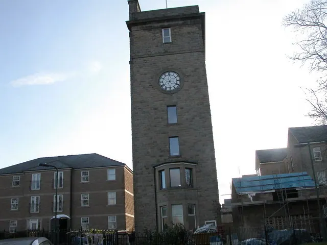
© Roger Temple · Geograph · CC BY-SA 2.0
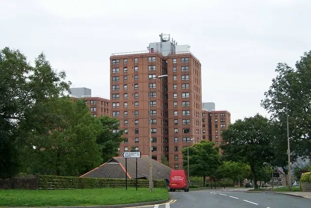
© Terry Robinson · Geograph · CC BY-SA 2.0

© Terry Robinson · Geograph · CC BY-SA 2.0
Images © their respective photographers, licensed under CC BY-SA 2.0 and reused here with attribution. Photographs depict listed buildings, churches and monuments near this settlement and may show neighbouring villages.
Data derived from the Open Domesday project (opendomesday.org), based on the Domesday Book dataset compiled by Professor J.J.N. Palmer and team. The Domesday Book (1086) is in the public domain.
Found an inaccuracy? [email protected]