Hale in the Domesday Book (1086)
Hale appears in the Domesday Book of 1086, entered under the hundred of Tunendune in Cheshire.
Other Settlements in Tunendune
- Alretunstall
- Antrobus
- Baguley
- Bowdon
- Chapmonswiche
- Cogshall
- Dutton
- Halton
- Knutsford
- Mere
- Middle Aston
- Millington
- Rostherne
- Sinderland
The Meaning of the Name
The origin of the name Hale is not securely established from its modern form alone; like many settlement names in the North it likely combines an Old English or Old Norse personal name with a landscape term.
Remarkably, the name has changed little since 1086, when the Domesday scribes wrote it as Hale.
Listed Buildings Near Hale
Historic England records 35 listed buildings within about a mile of Hale. Listing protects structures of special architectural or historic interest, graded I (exceptional), II* (particularly important) and II.
Grade I
- Royd House - 0.78 km
Grade II
- Church of St Peter, Hale - 0.25 km
- Ollerbarrow House - 0.46 km
- Cintra - 0.56 km
- Air Raid Siren - 0.56 km
- Broadoaks - 0.6 km
- War Memorial at Junction With Broomfield Lane - 0.63 km
- The Old House - 0.64 km
- The Hollies - 0.64 km
- The Shiel - 0.68 km
- Bank Hall - 0.71 km
- The Homestead - 0.71 km
- The Old Farm - 0.74 km
- Sundial to Rear of the Old Farm - 0.75 km
- Hale Station, East Platform Waiting Rooms and Canopy - 0.75 km
- Hale Station, West Platform Building, Canopy and Signal Box - 0.76 km
- Footbridge, Hale Station - 0.77 km
- Station Master’s House - 0.77 km
- Barrowcroft - 0.77 km
- The Garth - 0.78 km
- Turvelaws White Thorn Lodge - 0.78 km
- Cross Heyes - 0.8 km
- Greystoke - 0.81 km
- Tiverton - 0.81 km
…and 11 more listed structures in the area.
Hale Today
Today Hale lies within the administrative area of Trafford, and the settlement recorded a population of 16,715 at recent figures. Nine and a half centuries separate that figure from the small rural community the Domesday survey recorded here in 1086.
Read more about modern Hale on Wikipedia .
Nearby Domesday Settlements
Other places recorded in the 1086 survey within a few miles:
- Bowdon - 2.0 km W
- Ashley - 2.0 km S
- Alretunstall - 2.2 km NE
- Dunham Massey - 3.6 km NW
- Rostherne - 4.2 km SW
- Millington - 5.4 km W
Heritage Around Hale
Photographs of churches, listed buildings and monuments in the vicinity, contributed by volunteers to the Geograph project and reused here under a Creative Commons licence.
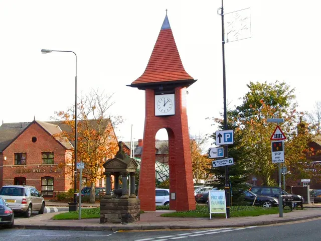
© Roger May · Geograph · CC BY-SA 2.0
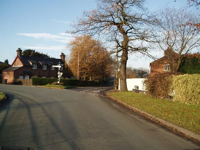
© Ian Warburton · Geograph · CC BY-SA 2.0
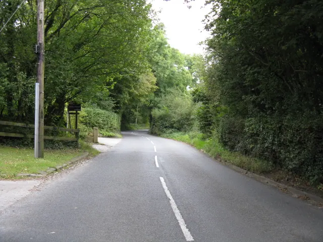
© Peter Whatley · Geograph · CC BY-SA 2.0
Images © their respective photographers, licensed under CC BY-SA 2.0 and reused here with attribution. Photographs depict listed buildings, churches and monuments near this settlement and may show neighbouring villages.
Data derived from the Open Domesday project (opendomesday.org), based on the Domesday Book dataset compiled by Professor J.J.N. Palmer and team. The Domesday Book (1086) is in the public domain.
Found an inaccuracy? [email protected]