Hainworth in the Domesday Book (1086)
Hainworth is named in the Domesday Book, compiled by Norman commissioners in 1086, entered under the hundred of Craven in Yorkshire.
Other Settlements in Craven
- Addingham
- Airton
- Anley
- Appletreewick
- Arncliffe
- Arnford
- Barnoldswick
- Bashall [Eaves]
- Battersby [Barn]
- Beamsley
- Birkby [Hall]
- Bogeuurde
- Bolton [Abbey]
- Bolton [by Bowland]
The Meaning of the Name
The name Hainworth is of Anglo-Saxon origin. Its final element derives from the Old English word worð, an enclosure or homestead. The first element is most likely a personal name or an early descriptive term, now difficult to recover with certainty. Taken together the name probably meant something close to ‘a enclosure’.
Remarkably, the name has changed little since 1086, when the Domesday scribes wrote it as Hainworth.
Listed Buildings Near Hainworth
Historic England records 16 listed buildings within about a mile of Hainworth. Listing protects structures of special architectural or historic interest, graded I (exceptional), II* (particularly important) and II.
Grade II
- Church of St John - 0.42 km
- Hainworth Farmhouse - 0.51 km
- 13 and 14, Hainworth Village - 0.51 km
- Mill Building at Former Prospect Mill - 0.51 km
- K6 Telephone Kiosk to South East of Rose Cottage - 0.56 km
- The Knowle - 0.86 km
- Kirkstall Wood Farmhouse and Attached Barn - 0.88 km
- Two Pairs of Gate Piers to North East of the Knowle - 0.9 km
- 67, 71, 73 and 75, Exley Road - 0.93 km
- Knowle Mill - 0.97 km
- Base of Cross at Junction With Wheat Head Lane - 1.03 km
- Damems Farmhouse and Attached Cottages - 1.05 km
- Rose Cottage - 1.09 km
- High Fold Farmhouse - 1.11 km
- Guidestone, at Junction With Keighley Road and Shaw Lane - 1.25 km
- Back Shaw, house and attached barn - 1.3 km
Hainworth Today
Today Hainworth lies within the administrative area of Bradford.
Read more about modern Hainworth on Wikipedia .
Nearby Domesday Settlements
Other places recorded in the 1086 survey within a few miles:
Heritage Around Hainworth
Photographs of churches, listed buildings and monuments in the vicinity, contributed by volunteers to the Geograph project and reused here under a Creative Commons licence.
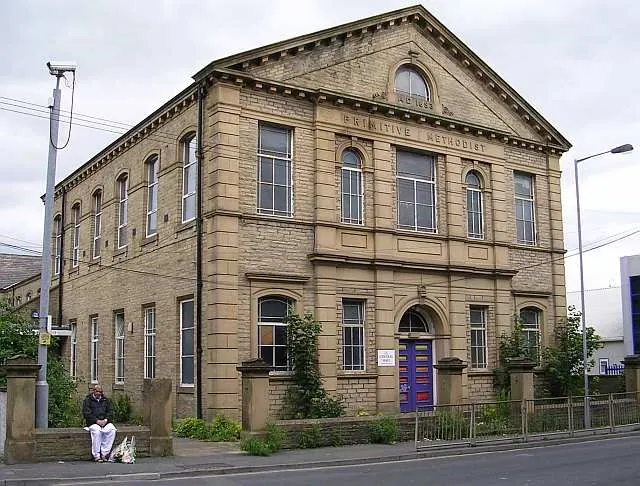
© Betty Longbottom · Geograph · CC BY-SA 2.0
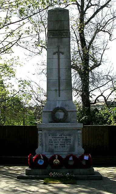
© Betty Longbottom · Geograph · CC BY-SA 2.0
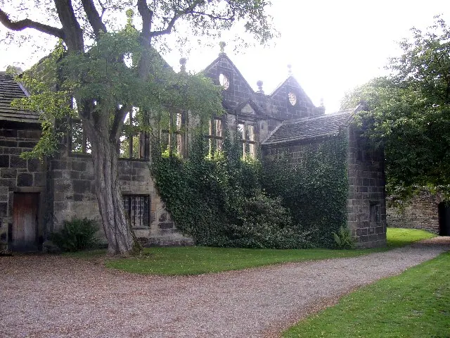
© Humphrey Bolton · Geograph · CC BY-SA 2.0
Images © their respective photographers, licensed under CC BY-SA 2.0 and reused here with attribution. Photographs depict listed buildings, churches and monuments near this settlement and may show neighbouring villages.
Data derived from the Open Domesday project (opendomesday.org), based on the Domesday Book dataset compiled by Professor J.J.N. Palmer and team. The Domesday Book (1086) is in the public domain.
Found an inaccuracy? [email protected]