Hadlow in the Domesday Book (1086)
Hadlow appears in the Domesday Book of 1086, entered under the hundred of Willaston in Cheshire.
Other Settlements in Willaston
- Barnston
- Blacon
- Capenhurst
- Croughton
- Eastham
- Gayton
- Greasby
- Hargrave
- Heswall
- Hooton
- Landican
- Lea
- Ledsham
- Leighton
The Meaning of the Name
The origin of the name Hadlow is not securely established from its modern form alone; like many settlement names in the North it likely combines an Old English or Old Norse personal name with a landscape term.
Remarkably, the name has changed little since 1086, when the Domesday scribes wrote it as Hadlow.
Listed Buildings Near Hadlow
Historic England records 14 listed buildings within about a mile of Hadlow. Listing protects structures of special architectural or historic interest, graded I (exceptional), II* (particularly important) and II.
Grade II*
- Willaston Old Hall - 0.6 km
Grade II
- Hadlow Road Railway Station - 0.56 km
- Ashtree Farmhouse - 0.57 km
- Bank House - 0.65 km
- Midland Bank - 0.65 km
- The Farm Including National Westminster Bank - 0.68 km
- Pollard Inn - 0.69 km
- Farm Building 15 Metres North of the Farm - 0.69 km
- Old Red Lion - 0.7 km
- The Laburnums - 0.71 km
- Christ Church - 0.79 km
- Willaston War Memorial - 0.79 km
- Atworth Terrace and Atworth House - 0.82 km
- Willaston Mill - 1.26 km
Hadlow Today
Today Hadlow lies within the administrative area of Cheshire West and Chester.
Read more about modern Willaston on Wikipedia .
Nearby Domesday Settlements
Other places recorded in the 1086 survey within a few miles:
Heritage Around Hadlow
Photographs of churches, listed buildings and monuments in the vicinity, contributed by volunteers to the Geograph project and reused here under a Creative Commons licence.
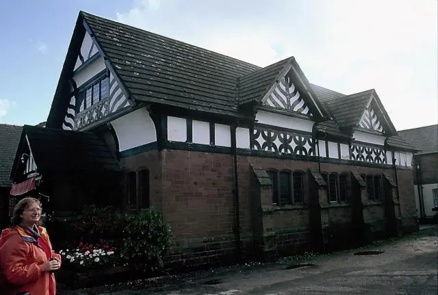
© Rosalind Mitchell · Geograph · CC BY-SA 2.0
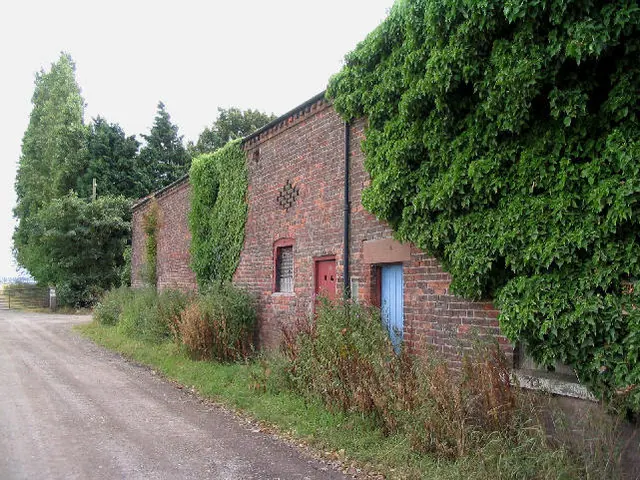
© Peter Craine · Geograph · CC BY-SA 2.0
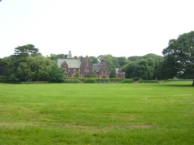
© Sue Adair · Geograph · CC BY-SA 2.0
Images © their respective photographers, licensed under CC BY-SA 2.0 and reused here with attribution. Photographs depict listed buildings, churches and monuments near this settlement and may show neighbouring villages.
Data derived from the Open Domesday project (opendomesday.org), based on the Domesday Book dataset compiled by Professor J.J.N. Palmer and team. The Domesday Book (1086) is in the public domain.
Found an inaccuracy? [email protected]