Hadfield in the Domesday Book (1086)
Hadfield appears in the Domesday Book of 1086, entered under the hundred of Blackwell in Derbyshire.
Other Settlements in Blackwell
- Abney
- Ashford [-in-the-Water]
- Aston
- Bakewell
- Bamford
- Baslow
- Beeley
- Birchills
- Birchover
- Blackwell
- Bradwell
- Bubnell
- Burley
- Burton
The Meaning of the Name
The name Hadfield is of Anglo-Saxon origin. Its final element derives from the Old English word feld, open country. The first element is most likely a personal name or an early descriptive term, now difficult to recover with certainty. Taken together the name probably meant something close to ‘a open land’.
Remarkably, the name has changed little since 1086, when the Domesday scribes wrote it as Hadfield.
Listed Buildings Near Hadfield
Historic England records 17 listed buildings within about a mile of Hadfield. Listing protects structures of special architectural or historic interest, graded I (exceptional), II* (particularly important) and II.
Grade II
- Padfield - 0.42 km
- Lower Cross Farm (Number 107/107A) and Attached Barn - 0.45 km
- Old Hall - 0.6 km
- 46, Hadfield Road - 0.63 km
- 5 and 7, the Cross - 0.65 km
- Top of Th’ill Farmhouse and Attached Barn and Stable - 0.7 km
- 66 and 68, Hadfield Road - 0.72 km
- The Spinners Arms Public House - 0.75 km
- 78 and 78A, Hadfield Road - 0.76 km
- Padfield Brook Farmhouse - 0.76 km
- 80, 82 and 84, Hadfield Road - 0.77 km
- Little Padfield Farmhouse - 0.77 km
- Christ Church - 0.87 km
- Sunday school and boundary wall - 0.88 km
- The Old Workhouse - 0.92 km
- Ebenezer Chapel - 0.94 km
- Roman Catholic Church of St Charles Borromeo and Attached Presbytery - 1.02 km
Scheduled Monuments Near Hadfield
Scheduled monuments are nationally important archaeological sites given legal protection. 1 lies within roughly a mile of Hadfield:
- Ringwork in Castlehill Wood - 0.98 km
Hadfield Today
Today Hadfield lies within the administrative area of High Peak, and the settlement recorded a population of 6,763 at recent figures. Nine and a half centuries separate that figure from the small rural community the Domesday survey recorded here in 1086.
Read more about modern Hadfield on Wikipedia .
Nearby Domesday Settlements
Other places recorded in the 1086 survey within a few miles:
- Padfield and Little Padfield - 1.0 km E
- Tintwistle - 1.0 km N
- Longdendale - 1.4 km NE
- Hollingworth - 2.0 km W
- Higher and Lower Dinting - 2.0 km S
- Old Glossop - 2.8 km SE
Heritage Around Hadfield
Photographs of churches, listed buildings and monuments in the vicinity, contributed by volunteers to the Geograph project and reused here under a Creative Commons licence.
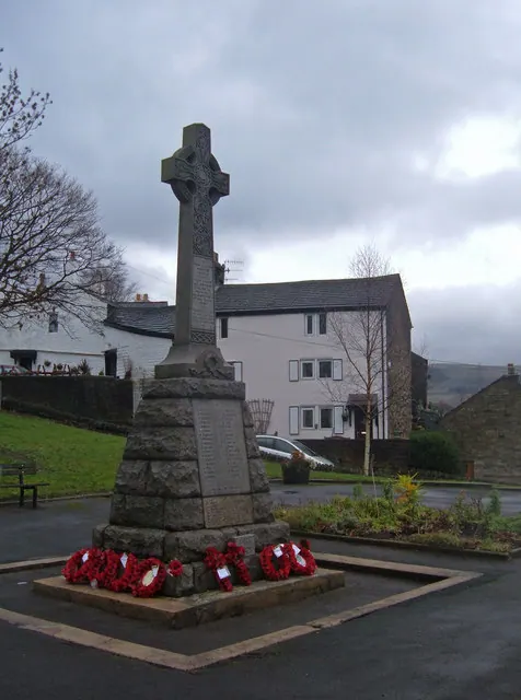
© michael ely · Geograph · CC BY-SA 2.0
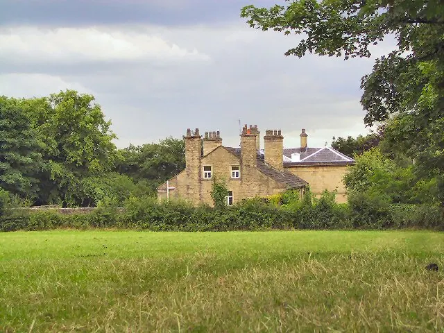
© Roger May · Geograph · CC BY-SA 2.0
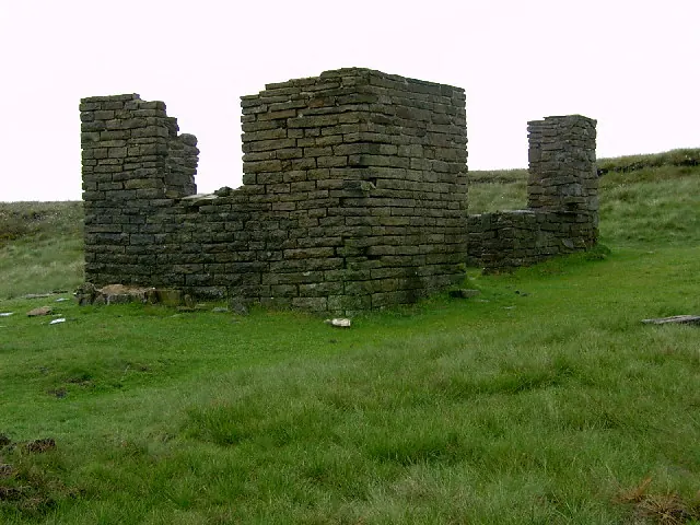
© Stephen Burton · Geograph · CC BY-SA 2.0
Images © their respective photographers, licensed under CC BY-SA 2.0 and reused here with attribution. Photographs depict listed buildings, churches and monuments near this settlement and may show neighbouring villages.
Data derived from the Open Domesday project (opendomesday.org), based on the Domesday Book dataset compiled by Professor J.J.N. Palmer and team. The Domesday Book (1086) is in the public domain.
Found an inaccuracy? [email protected]