Hackness in the Domesday Book (1086)
The settlement of Hackness is recorded in William I’s Domesday survey of 1086, entered under the hundred of Dic in Yorkshire.
Other Settlements in Dic
- Aislaby
- Allerston
- Appleton [le Moors]
- Aschelesmersc
- Aschilesmares
- Barton [le Street]
- Baschebi
- Baschesbi
- Brompton
- Burniston
- Burton [Dale]
- Cawthorn
- Cayton
- Chigogemers
The Meaning of the Name
The name Hackness is of Scandinavian origin. Its final element derives from the Old Norse word nes, a headland or promontory. The first element is most likely a personal name or an early descriptive term, now difficult to recover with certainty. Taken together the name probably meant something close to ‘a headland’.
Names of this type are a fingerprint of Scandinavian settlement: they cluster across the old Danelaw, where Norse-speaking settlers renamed or founded villages from the late 9th century onward.
Remarkably, the name has changed little since 1086, when the Domesday scribes wrote it as Hackness.
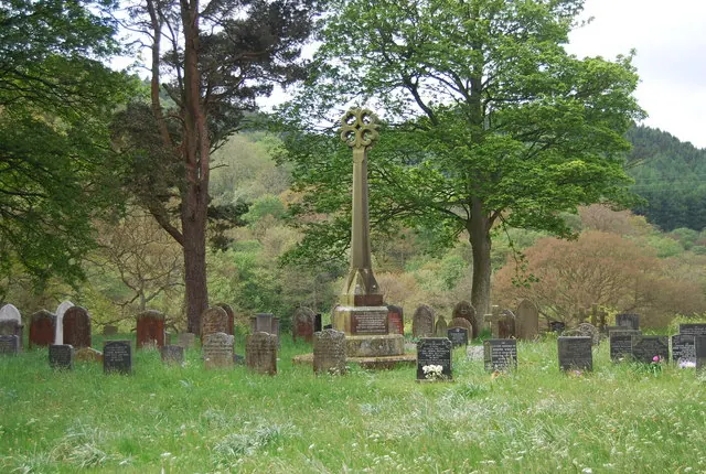
Listed Buildings Near Hackness
Historic England records 23 listed buildings within about a mile of Hackness. Listing protects structures of special architectural or historic interest, graded I (exceptional), II* (particularly important) and II.
Grade I
- Church of St Peter - 0.31 km
- Hackness Hall and railings attached to terrace on garden front - 0.51 km
Grade II
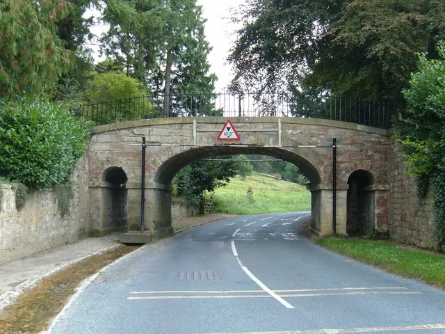
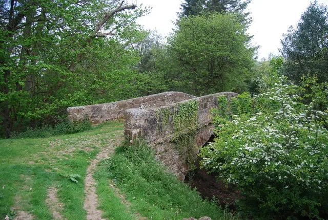
- Bridge Over Lowdales Beck - 0.2 km
- Low Hall - 0.21 km
- Outbuilding, With Attached Pump and Wall, Approximately 12 Metres North of Low Hall - 0.22 km
- Church Cottage - 0.27 km
- Orangery - 0.35 km
- Dovecote Approximately 2 Metres East of Keeper’s House - 0.37 km
- Keeper’s House - 0.38 km
- River View and Attached Cottage and Forge - 0.46 km
- Red House and Railings Attached to Front Steps - 0.47 km
- Hackness Grange Country Hotel - 0.48 km
- Pinfold - 0.48 km
- Dry Bridge Across Hackness to Suffield Road - 0.48 km
- Ice House Approximately 10 Metres North-east of the Dry Bridge - 0.5 km
- Stable Yard Approximately 10 Metres to South-east of Hackness Hall - 0.56 km
- K6 Telephone Kiosk - 0.56 km
- Barn Approximately 10 Metres South-east of Stable Yard at Hackness Hall - 0.59 km
- Gates and Gate Piers Approximately 100 Metres North East of Hackness Hall - 0.6 km
- Dutch Barn Approximately 10 Metres East of Stable Yard at Hackness Hall - 0.61 km
- Cornmill Approximately 30 Metres North of Mill Farmhouse - 0.63 km
- Mill Farmhouse - 0.66 km
- Farmbuildings Approximately 40 Metres North-west of Wrench Green Farmhouse - 0.99 km
Scheduled Monuments Near Hackness
Scheduled monuments are nationally important archaeological sites given legal protection. 4 lie within roughly a mile of Hackness:
- Round barrow on Shortgate Noddle, 330m south east of Coomb Slack Farm - 1.34 km
- Square barrow on Coomb Hill, 420m west of Coomb Slack Farm - 1.57 km
- Square barrow on Coomb Hill, 470m west of Coomb Slack Farm - 1.59 km
- Round barrow on Shortgate Hill, 500m south east of Coomb Slack Farm - 1.59 km
Hackness Today
Today Hackness lies within the administrative area of Scarborough, and the settlement recorded a population of 128 at the 2021 census. Nine and a half centuries separate that figure from the small rural community the Domesday survey recorded here in 1086.
Read more about modern Hackness on Wikipedia .
Nearby Domesday Settlements
Other places recorded in the 1086 survey within a few miles:
- Northfield Farm - 2.0 km E
- Suffield - 2.0 km E
- Everley - 2.2 km SE
- Troutsdale - 3.2 km W
- Scalby - 4.0 km E
- Stemainesbi - 5.0 km E
Heritage Around Hackness
Photographs of churches, listed buildings and monuments in the vicinity, contributed by volunteers to the Geograph project and reused here under a Creative Commons licence.
© JThomas · Geograph · CC BY-SA 2.0
© N Chadwick · Geograph · CC BY-SA 2.0
© N Chadwick · Geograph · CC BY-SA 2.0
Images © their respective photographers, licensed under CC BY-SA 2.0 and reused here with attribution. Photographs depict listed buildings, churches and monuments near this settlement and may show neighbouring villages.
Data derived from the Open Domesday project (opendomesday.org), based on the Domesday Book dataset compiled by Professor J.J.N. Palmer and team. The Domesday Book (1086) is in the public domain.
Found an inaccuracy? [email protected]