Gunby in the Domesday Book (1086)
Gunby is named in the Domesday Book, compiled by Norman commissioners in 1086, entered under the hundred of Hessle in Yorkshire.
Other Settlements in Hessle
- Anlaby
- Breighton
- Bubwith
- Chetelestorp
- Chrachetorp
- Crachetorp
- Hessle
- Lund
- Myton
- Newsholme
- Riplingham
- Siuuarbi
- Spaldington
- Totfled
The Meaning of the Name
The name Gunby is of Scandinavian origin. Its final element derives from the Old Norse word bý, a farmstead or village. The first element is most likely a personal name or an early descriptive term, now difficult to recover with certainty. Taken together the name probably meant something close to ‘a farmstead’.
Names of this type are a fingerprint of Scandinavian settlement: they cluster across the old Danelaw, where Norse-speaking settlers renamed or founded villages from the late 9th century onward.
Remarkably, the name has changed little since 1086, when the Domesday scribes wrote it as Gunby.
Listed Buildings Near Gunby
Historic England records 14 listed buildings within about a mile of Gunby. Listing protects structures of special architectural or historic interest, graded I (exceptional), II* (particularly important) and II.
Grade I
- Church of All Saints - 0.9 km
Grade II
- Implement Shed With Hayloft Over at Gunby Hall - 0.38 km
- Stables With Dovecote Over at Gunby Hall - 0.4 km
- Gunby Hall - 0.43 km
- Old Brewery House - 0.93 km
- Derwent Bridge - 0.96 km
- White House - 0.99 km
- Mulberry House - 1.08 km
- Tress Cottage - 1.09 km
- Lindum House - 1.15 km
- Frog Hall Farmhouse - 1.17 km
- Chain Bar House - 1.19 km
- 43 and 45, Main Street - 1.22 km
- Barn and Stables to Attached Rear of Chain Bar House - 1.22 km
Nearby Domesday Settlements
Other places recorded in the 1086 survey within a few miles:
- Bubwith - 1.4 km NE
- Breighton - 2.0 km S
- Lund - 2.0 km S
- North Duffield - 2.2 km NW
- Bowthorpe - 2.2 km SW
- South Duffield - 2.8 km SW
Heritage Around Gunby
Photographs of churches, listed buildings and monuments in the vicinity, contributed by volunteers to the Geograph project and reused here under a Creative Commons licence.
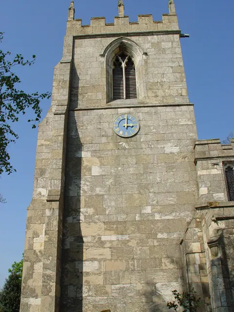
© Peter Church · Geograph · CC BY-SA 2.0
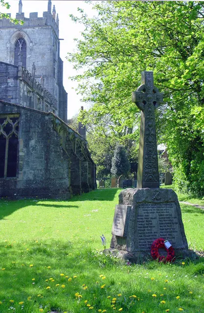
© Peter Church · Geograph · CC BY-SA 2.0
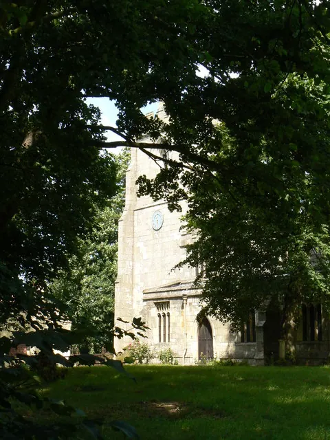
© bernard bradley · Geograph · CC BY-SA 2.0
Images © their respective photographers, licensed under CC BY-SA 2.0 and reused here with attribution. Photographs depict listed buildings, churches and monuments near this settlement and may show neighbouring villages.
Data derived from the Open Domesday project (opendomesday.org), based on the Domesday Book dataset compiled by Professor J.J.N. Palmer and team. The Domesday Book (1086) is in the public domain.
Found an inaccuracy? [email protected]