Grindleton in the Domesday Book (1086)
Grindleton is named in the Domesday Book, compiled by Norman commissioners in 1086, entered under the hundred of Craven in Yorkshire. The survey assessed Grindleton at 10 carucates of taxable land.
At the time of the survey, Grindleton supported a recorded population of 31 villagers, 10 smallholders, 6 slaves, working 13 ploughs between them.
The survey records Grindleton’s value at 8 shillings in 1086. No pre-Conquest figure survives – not unusual in the North, where records were disrupted by the Harrying and by the patchy coverage of the survey.
Resources Recorded at Grindleton (1086)
- Cattle: 26
- Pigs: 26
- Sheep: 70
- Meadow: 11 acres
- Woodland: 20 acres
Other Settlements in Craven
- Addingham
- Airton
- Anley
- Appletreewick
- Arncliffe
- Arnford
- Barnoldswick
- Bashall [Eaves]
- Battersby [Barn]
- Beamsley
- Birkby [Hall]
- Bogeuurde
- Bolton [Abbey]
- Bolton [by Bowland]
The Meaning of the Name
The name Grindleton is of Anglo-Saxon origin. Its final element derives from the Old English word tūn, a farmstead or village. The first element is most likely a personal name or an early descriptive term, now difficult to recover with certainty. Taken together the name probably meant something close to ‘a farmstead’.
Remarkably, the name has changed little since 1086, when the Domesday scribes wrote it as Grindleton.
Listed Buildings Near Grindleton
Historic England records 12 listed buildings within about a mile of Grindleton. Listing protects structures of special architectural or historic interest, graded I (exceptional), II* (particularly important) and II.
Grade II*
- Arnot House - 0.77 km
Grade II
- Fields Farmhouse - 0.06 km
- Church of St Ambrose - 0.4 km
- Swindlehurst Farmhouse - 0.68 km
- Duke of York Hotel - 0.69 km
- Townley House - 0.71 km
- Bank House - 1.01 km
- Bank Hall - 1.07 km
- Gazebo, 50 Metres South East of Bank Hall - 1.08 km
- Southport Farmhouse - 1.24 km
- Christ Church - 1.26 km
- Ivy Cottage, Reading Room, and Connecting Buildings in Same Range - 1.29 km
Scheduled Monuments Near Grindleton
Scheduled monuments are nationally important archaeological sites given legal protection. 1 lies within roughly a mile of Grindleton:
Grindleton Today
Today Grindleton lies within the administrative area of Ribble Valley, and the settlement recorded a population of 776 at the 2021 census. Nine and a half centuries separate that figure from the small rural community the Domesday survey recorded here in 1086.
Read more about modern Grindleton on Wikipedia .
Nearby Domesday Settlements
Other places recorded in the 1086 survey within a few miles:
- West Bradford - 2.2 km SW
- Rimington - 4.0 km E
- Waddington - 4.5 km SW
- Bolton by Bowland - 4.5 km NE
- Stratesergum - 5.0 km E
- Raygill Moss - 5.6 km NE
Heritage Around Grindleton
Photographs of churches, listed buildings and monuments in the vicinity, contributed by volunteers to the Geograph project and reused here under a Creative Commons licence.
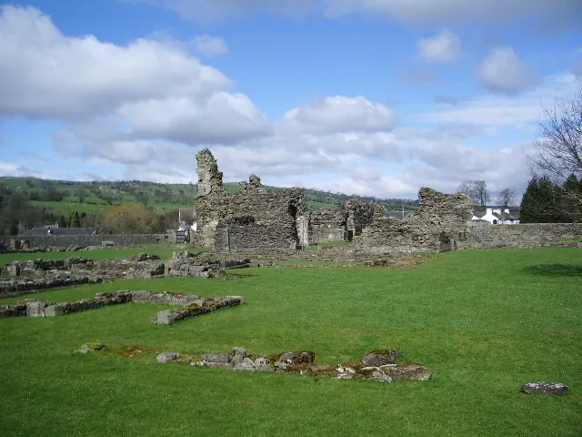
© Alexander P Kapp · Geograph · CC BY-SA 2.0
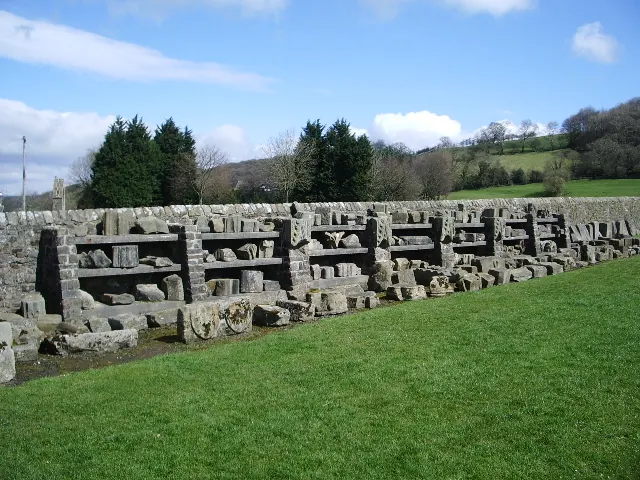
© Alexander P Kapp · Geograph · CC BY-SA 2.0
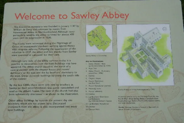
© Charles Rawding · Geograph · CC BY-SA 2.0
Images © their respective photographers, licensed under CC BY-SA 2.0 and reused here with attribution. Photographs depict listed buildings, churches and monuments near this settlement and may show neighbouring villages.
Data derived from the Open Domesday project (opendomesday.org), based on the Domesday Book dataset compiled by Professor J.J.N. Palmer and team. The Domesday Book (1086) is in the public domain.
Found an inaccuracy? [email protected]