Griff Farm in the Domesday Book (1086)
The 1086 Domesday survey records the settlement of Griff Farm, entered under the hundred of Maneshou in Yorkshire. The survey assessed Griff Farm at 10.5 carucates of taxable land.
At the time of the survey, Griff Farm supported a recorded population of 20 villagers, 10 smallholders, 6 slaves, working 8 ploughs between them.
The survey records Griff Farm’s value at 9.2 shillings in 1086. No pre-Conquest figure survives – not unusual in the North, where records were disrupted by the Harrying and by the patchy coverage of the survey.
Resources Recorded at Griff Farm (1086)
- Mills: 1 mill (valued at 1d)
- Cattle: 10
- Pigs: 10
- Sheep: 48
- Horses (cobs): 1
- Fisheries: 1
- Meadow: 8 acres
- Woodland: 1 * 1 furlongs
Other Settlements in Maneshou
- Amotherby
- Ampleforth
- Appleton [le Street]
- Beadlam
- Brawby
- Broughton
- Cawton
- Coulton
- Fadmoor
- Fryton
- Gillamoor
- Gilling [East]
- Grimston
- Harome
The Meaning of the Name
The origin of the name Griff Farm is not securely established from its modern form alone; like many settlement names in the North it likely combines an Old English or Old Norse personal name with a landscape term.
Remarkably, the name has changed little since 1086, when the Domesday scribes wrote it as Griff Farm.
Listed Buildings Near Griff Farm
Historic England records 2 listed buildings within about a mile of Griff Farm. Listing protects structures of special architectural or historic interest, graded I (exceptional), II* (particularly important) and II.
Grade I
- Doric Temple - 1.27 km
Grade II
- Antofts - 0.71 km
Scheduled Monuments Near Griff Farm
Scheduled monuments are nationally important archaeological sites given legal protection. 6 lie within roughly a mile of Griff Farm:
- Griff medieval settlement and Cistercian monastic grange, 400m west of Griff Farm - 0.35 km
- Dyke at the north eastern end of Stone Bridge Howl, 760m north west of Court House Farm - 1.25 km
- Griff Cross, wayside cross 800m NNE of Griff Farm on the road from Helmsley to Rievaulx - 1.26 km
- Round barrow 810m NNE of Waterloo Farm, the northernmost of three round barrows in Far Moor Plantation - 1.44 km
- Round barrow 780m NNE of Waterloo Farm, the easternmost of three round barrows in Far Moor Plantation - 1.47 km
- Round barrow 710m NNE of Waterloo Farm, the southernmost of three round barrows in Far Moor Plantation - 1.57 km
Nearby Domesday Settlements
Other places recorded in the 1086 survey within a few miles:
- Stiltons Farm - 1.4 km NE
- Helmsley - 3.0 km E
- Sproxton - 3.6 km SE
- Old Byland - 3.6 km NW
- Scawton - 4.0 km W
- Ampleforth - 5.0 km S
Heritage Around Griff [Farm]
Photographs of churches, listed buildings and monuments in the vicinity, contributed by volunteers to the Geograph project and reused here under a Creative Commons licence.
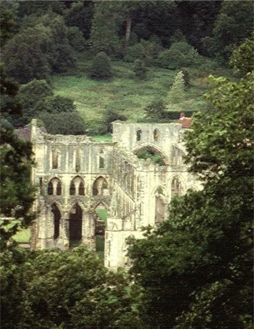
© Stanley Howe · Geograph · CC BY-SA 2.0
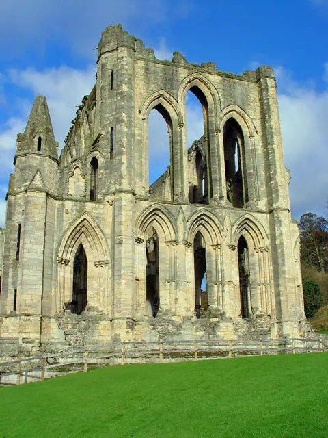
© Peter Church · Geograph · CC BY-SA 2.0
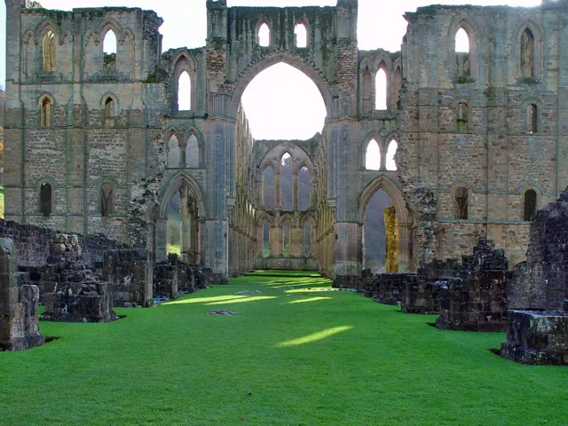
© Peter Church · Geograph · CC BY-SA 2.0
Images © their respective photographers, licensed under CC BY-SA 2.0 and reused here with attribution. Photographs depict listed buildings, churches and monuments near this settlement and may show neighbouring villages.
Data derived from the Open Domesday project (opendomesday.org), based on the Domesday Book dataset compiled by Professor J.J.N. Palmer and team. The Domesday Book (1086) is in the public domain.
Found an inaccuracy? [email protected]