Greyhirst in the Domesday Book (1086)
Greyhirst is named in the Domesday Book, compiled by Norman commissioners in 1086, entered under the hundred of Scarsdale in Derbyshire.
Other Settlements in Scarsdale
- Alfreton
- Ashover
- Barlborough
- Barlow
- Beighton
- Blingsby
- Bolsover
- Boythorpe
- Bramley [Vale]
- Brimington
- Calow
- Chesterfield
- Clowne
- Dore
The Meaning of the Name
The name Greyhirst is of Anglo-Saxon origin. Its final element derives from the Old English word hyrst, a wooded hill. The first element is most likely a personal name or an early descriptive term, now difficult to recover with certainty. Taken together the name probably meant something close to ‘a wooded hill’.
Remarkably, the name has changed little since 1086, when the Domesday scribes wrote it as Greyhirst.
Listed Buildings Near Greyhirst
Historic England records 13 listed buildings within about a mile of Greyhirst. Listing protects structures of special architectural or historic interest, graded I (exceptional), II* (particularly important) and II.
Grade I
- Church of All Saints - 0.28 km
Grade II
- Estate House, Cedar End and North Side - 0.24 km
- The Yews, The Hollies, and East View - 0.25 km
- Pair of gate piers and linking wall to the west of Estate House, Cedar End and North Side (remaining south wing of Wingerworth Hall) - 0.27 km
- Milepost at Sk 388 674 - 0.3 km
- The Hunloke Arms Inn - 0.31 km
- 1, Hockley Lane - 0.46 km
- Birdholme Farmhouse - 1.02 km
- Range of Outbuildings to the North of Birdholme Farmhouse - 1.05 km
- 35, New Road - 1.2 km
- 37, New Road - 1.2 km
- Entrance Gatepiers and Attached Walls Adjacent to Nos 35 and 37 - 1.2 km
- 238,240, Longedge Lane - 1.23 km
Scheduled Monuments Near Greyhirst
Scheduled monuments are nationally important archaeological sites given legal protection. 1 lies within roughly a mile of Greyhirst:
Nearby Domesday Settlements
Other places recorded in the 1086 survey within a few miles:
- Wingerworth - 0.0 km N
- Old Tupton - 2.0 km S
- Boythorpe - 2.2 km NW
- Egstow - 2.2 km SE
- Temple Normanton - 3.0 km E
- Walton - 3.6 km NW
Heritage Around Greyhirst
Photographs of churches, listed buildings and monuments in the vicinity, contributed by volunteers to the Geograph project and reused here under a Creative Commons licence.
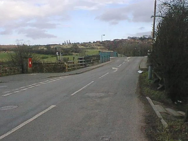
© Alan Heardman · Geograph · CC BY-SA 2.0
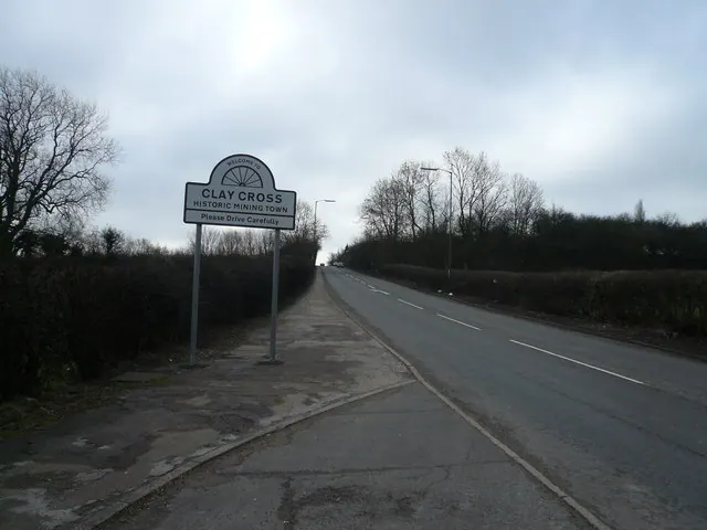
© Alan Heardman · Geograph · CC BY-SA 2.0
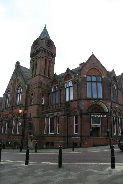
© Chris Allen · Geograph · CC BY-SA 2.0
Images © their respective photographers, licensed under CC BY-SA 2.0 and reused here with attribution. Photographs depict listed buildings, churches and monuments near this settlement and may show neighbouring villages.
Data derived from the Open Domesday project (opendomesday.org), based on the Domesday Book dataset compiled by Professor J.J.N. Palmer and team. The Domesday Book (1086) is in the public domain.
Found an inaccuracy? [email protected]