Greetland in the Domesday Book (1086)
The 1086 Domesday survey records the settlement of Greetland, entered under the hundred of Morley in Yorkshire.
Other Settlements in Morley
- Allerton
- Armley
- Batley
- Beeston
- Bolton
- Bowling
- Bradford
- Bramley
- Calverley
- Carlton
- Chellow [Grange]
- Clayton
- Clifton
- Cruttonstall
The Meaning of the Name
The origin of the name Greetland is not securely established from its modern form alone; like many settlement names in the North it likely combines an Old English or Old Norse personal name with a landscape term.
Remarkably, the name has changed little since 1086, when the Domesday scribes wrote it as Greetland.
Listed Buildings Near Greetland
Historic England records 40 listed buildings within about a mile of Greetland. Listing protects structures of special architectural or historic interest, graded I (exceptional), II* (particularly important) and II.
Grade II*
- Sunny Bank - 0.32 km
- Church of St Stephen - 0.86 km
Grade II
- Church of St Thomas - 0.14 km
- 11, Haigh Street - 0.17 km
- 182, Rochdale Road - 0.29 km
- Haughcroft Head - 0.29 km
- Barn Attached to Number 1 (Haughroft Head) - 0.31 km
- 2 and 3 (Lower Ellistones) - 0.48 km
- Lower Ellistones Mill - 0.48 km
- Moor Bottom Farmhouse and attached barn - 0.49 km
- Scholes Farm Cottages Scholes Farmhouse - 0.49 km
- 48 and 50, Martin Green Lane - 0.51 km
- Rose and Crown Inn - 0.57 km
- Brian Royd Hall - 0.67 km
- Bradley Hall Farmhouse - 0.69 km
- Bank Top Farmhouse - 0.79 km
- 48 and 50, Rochdale Road - 0.8 km
- Copley Bridge Toll House - 0.89 km
- Copley Bridge Over River Calder at Junction of Copley Lane and North Dean Road - 0.91 km
- Milestone Opposite Ingwood Mill, West Vale - 0.92 km
- Boundary Marker on Jagger Bridge Over the Black Brook - 0.95 km
- Railway Viaduct Over Stainland Road - 0.95 km
- 92, Saddleworth Road - 0.98 km
- 25-40, Calder Terrace including 43-60, St Stephens Street - 1.03 km
…and 16 more listed structures in the area.
Greetland Today
Today Greetland lies within the administrative area of Calderdale, and the settlement recorded a population of 11,389 at recent figures. Nine and a half centuries separate that figure from the small rural community the Domesday survey recorded here in 1086.
Read more about modern Greetland on Wikipedia .
Nearby Domesday Settlements
Other places recorded in the 1086 survey within a few miles:
- Elland - 2.0 km E
- Stainland - 2.2 km SW
- Old Lindley - 2.2 km SE
- Southowram - 3.6 km NE
- Warley - 4.2 km NW
- Lindley - 4.2 km SE
Heritage Around Greetland
Photographs of churches, listed buildings and monuments in the vicinity, contributed by volunteers to the Geograph project and reused here under a Creative Commons licence.
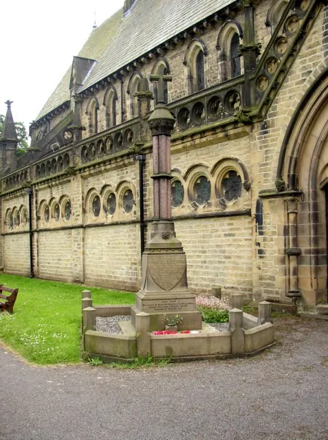
© Humphrey Bolton · Geograph · CC BY-SA 2.0
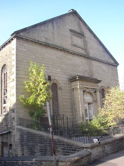
© Humphrey Bolton · Geograph · CC BY-SA 2.0
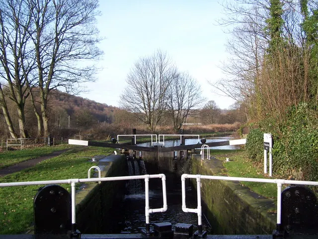
© Adam Brookes · Geograph · CC BY-SA 2.0
Images © their respective photographers, licensed under CC BY-SA 2.0 and reused here with attribution. Photographs depict listed buildings, churches and monuments near this settlement and may show neighbouring villages.
Data derived from the Open Domesday project (opendomesday.org), based on the Domesday Book dataset compiled by Professor J.J.N. Palmer and team. The Domesday Book (1086) is in the public domain.
Found an inaccuracy? [email protected]