Greenwick in the Domesday Book (1086)
Greenwick appears in the Domesday Book of 1086, entered under the hundred of Pocklington in Yorkshire.
Other Settlements in Pocklington
- Allerthorpe
- Barmby [Moor]
- Belthorpe
- Bielby
- Bolton
- Burnby
- Chetelstorp
- Deighton
- Elvington
- Escrick
- Everingham
- Fangfoss
- Gowthorpe
- Hayton
The Meaning of the Name
The name Greenwick is of Anglo-Saxon origin. Its final element derives from the Old English word wīc, a dwelling, dairy farm or trading settlement, while the first element appears to represent green. Taken together the name probably meant something close to ’the green specialised farm’.
Remarkably, the name has changed little since 1086, when the Domesday scribes wrote it as Greenwick.
Scheduled Monuments Near Greenwick
Scheduled monuments are nationally important archaeological sites given legal protection. 19 lie within roughly a mile of Greenwick:
- Section of single linear boundary dyke in Great Plantation, Greenwick Dale, 250m east of East Greenwick Farm - 0.24 km
- Bowl barrow 340m south east of Watermanhole Reservoir - 0.38 km
- Section of linear boundary dyke in and extending to the north west of Farclose Plantation towards Waterman Hole - 0.41 km
- Section of single linear boundary dyke in Stable Plantation, Greenwick Dale, 400m south west of East Greenwick Farm - 0.61 km
- Bowl barrow on Huggate Wold, 400m NNW of Watermanhole Reservoir - 0.62 km
- Bowl barrow on Huggate Wold, 480m north of Watermanhole Reservoir - 0.72 km
- Sections of linear boundary dyke in Frendal Dale, Tun Dale, and Great Plantation, between Millington and Huggate Wolds - 0.78 km
- Sections of single and multiple linear boundary dykes on Huggate Pasture and Frendal Dale - 0.81 km
- Bowl barrow 400m NNW of East Greenwick Farm - 0.87 km
- Bowl barrow on Huggate Wold, 700m NNW of Watermanhole Reservoir - 0.89 km
…and 9 more.
Nearby Domesday Settlements
Other places recorded in the 1086 survey within a few miles:
- Swinden - 2.2 km SE
- Huggate - 3.2 km E
- Hawold - 3.6 km SW
- Fridaythorpe - 3.6 km NE
- Little Givendale - 4.2 km SW
- Painsthorpe - 4.5 km NW
Heritage Around Greenwick
Photographs of churches, listed buildings and monuments in the vicinity, contributed by volunteers to the Geograph project and reused here under a Creative Commons licence.
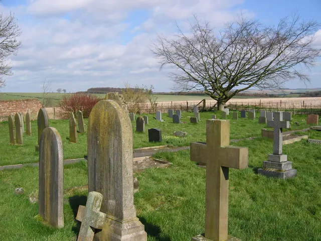
© Stephen Horncastle · Geograph · CC BY-SA 2.0
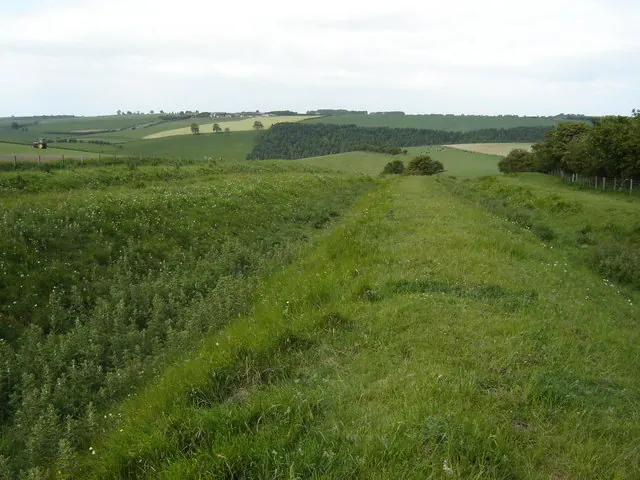
© Martin Dawes · Geograph · CC BY-SA 2.0
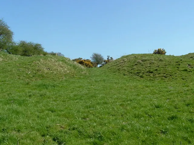
© John Phillips · Geograph · CC BY-SA 2.0
Images © their respective photographers, licensed under CC BY-SA 2.0 and reused here with attribution. Photographs depict listed buildings, churches and monuments near this settlement and may show neighbouring villages.
Data derived from the Open Domesday project (opendomesday.org), based on the Domesday Book dataset compiled by Professor J.J.N. Palmer and team. The Domesday Book (1086) is in the public domain.
Found an inaccuracy? [email protected]