Great Longstone in the Domesday Book (1086)
Great Longstone is named in the Domesday Book, compiled by Norman commissioners in 1086, entered under the hundred of Blackwell in Derbyshire.
Other Settlements in Blackwell
- Abney
- Ashford [-in-the-Water]
- Aston
- Bakewell
- Bamford
- Baslow
- Beeley
- Birchills
- Birchover
- Blackwell
- Bradwell
- Bubnell
- Burley
- Burton
The Meaning of the Name
The origin of the name Great Longstone is not securely established from its modern form alone; like many settlement names in the North it likely combines an Old English or Old Norse personal name with a landscape term.
Remarkably, the name has changed little since 1086, when the Domesday scribes wrote it as Great Longstone.
Listed Buildings Near Great Longstone
Historic England records 45 listed buildings within about a mile of Great Longstone. Listing protects structures of special architectural or historic interest, graded I (exceptional), II* (particularly important) and II.
Grade I
- Church of St Giles - 0.73 km
Grade II
- Gatepiers, Gates and Railings to Thornbridge Hall - 0.5 km
- Rose Cottage and Spring Bank - 0.59 km
- Churchdale Cottage - 0.6 km
- Laburnum House - 0.67 km
- Rowdale House - 0.69 km
- White Lion - 0.69 km
- Stone Croft, Cuckoo Cottage and the Little House - 0.7 km
- The Vicarage - 0.7 km
- Ash House - 0.71 km
- Churchyard Cross - 0.71 km
- The Hollies and Attached Gate Piers and Garden Wall - 0.74 km
- Two Garden Temples in Gardens of Thornbridge Hall - 0.76 km
- War Memorial - 0.76 km
- Shakerley - 0.77 km
- Churchlady House and Attached Garden Wall and Gate Piers - 0.77 km
- K6 Telephone Kiosk - 0.78 km
- Village Cross - 0.79 km
- Fountain and Urns in Gardens at Thornbridge Hall - 0.8 km
- Milepost at Os 212708 - 0.81 km
- Four Hermes in Gardens at Thornbridge Hall - 0.83 km
- Gates and Gate Piers to the Manor House - 0.83 km
- Crispin Inn - 0.83 km
- Gate Piers, Attached Boundary Walls, Pump and Trough at the Hall - 0.86 km
…and 21 more listed structures in the area.
Great Longstone Today
Today Great Longstone lies within the administrative area of Derbyshire Dales, and the settlement recorded a population of 698 at the 2021 census. Nine and a half centuries separate that figure from the small rural community the Domesday survey recorded here in 1086.
Read more about modern Great Longstone on Wikipedia .
Nearby Domesday Settlements
Other places recorded in the 1086 survey within a few miles:
- Little? Longstone - 1.0 km W
- Rowland - 1.4 km NE
- Hassop - 2.2 km NE
- Birchills - 2.2 km SE
- Ashford -in-the-Water - 2.2 km SW
- Holme - 2.2 km SE
Heritage Around [Great] Longstone
Photographs of churches, listed buildings and monuments in the vicinity, contributed by volunteers to the Geograph project and reused here under a Creative Commons licence.
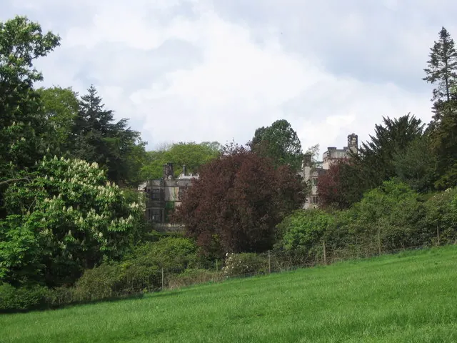
© George Wolfe · Geograph · CC BY-SA 2.0
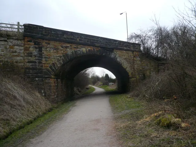
© Alan Heardman · Geograph · CC BY-SA 2.0
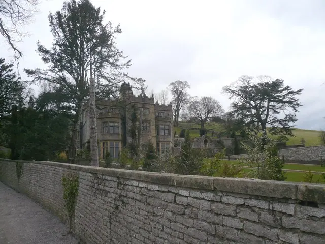
© Alan Heardman · Geograph · CC BY-SA 2.0
Images © their respective photographers, licensed under CC BY-SA 2.0 and reused here with attribution. Photographs depict listed buildings, churches and monuments near this settlement and may show neighbouring villages.
Data derived from the Open Domesday project (opendomesday.org), based on the Domesday Book dataset compiled by Professor J.J.N. Palmer and team. The Domesday Book (1086) is in the public domain.
Found an inaccuracy? [email protected]