Great Kendale in the Domesday Book (1086)
The settlement of Great Kendale is recorded in William I’s Domesday survey of 1086, entered under the hundred of Driffield in Yorkshire. The survey assessed Great Kendale at 0.2 carucates of taxable land.
At the time of the survey, Great Kendale supported a recorded population of 2 smallholders, 1 slave, working 1 plough between them.
The survey records Great Kendale’s value at 5d in 1086. No pre-Conquest figure survives – not unusual in the North, where records were disrupted by the Harrying and by the patchy coverage of the survey.
Resources Recorded at Great Kendale (1086)
- Meadow: 3 acres
- Woodland: 4 acres
Other Settlements in Driffield
- Bainton
- Cranswick
- Eastburn
- Hutton [Cranswick]
- Kelleythorpe
- Neswick [Hall]
- Rotsea
- Skerne
- Southburn
- Tibthorpe
- Torp
- [Great] Driffield
- [Kirk]burn
- [Little] Driffield
The Meaning of the Name
The name Great Kendale is of Scandinavian origin. Its final element derives from the Old Norse word dalr, a valley. The first element is most likely a personal name or an early descriptive term, now difficult to recover with certainty. Taken together the name probably meant something close to ‘a valley’.
Names of this type are a fingerprint of Scandinavian settlement: they cluster across the old Danelaw, where Norse-speaking settlers renamed or founded villages from the late 9th century onward.
Remarkably, the name has changed little since 1086, when the Domesday scribes wrote it as Great Kendale.
Nearby Domesday Settlements
Other places recorded in the 1086 survey within a few miles:
- Elmswell - 2.8 km SW
- Garton on the Wolds - 3.2 km W
- Little Driffield - 3.2 km S
- Great Driffield - 3.2 km S
- Kelleythorpe - 4.0 km S
- Pockthorpe - 4.2 km NE
Heritage Around [Great] Kendale
Photographs of churches, listed buildings and monuments in the vicinity, contributed by volunteers to the Geograph project and reused here under a Creative Commons licence.
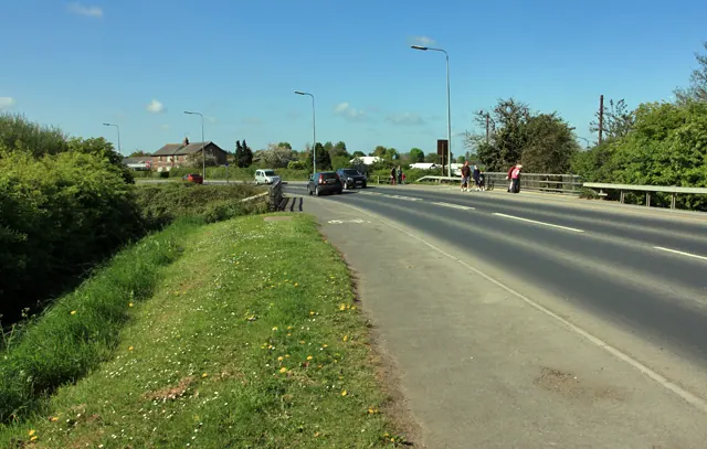
© Peter Church · Geograph · CC BY-SA 2.0
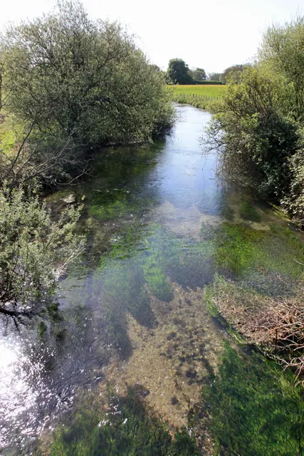
© Peter Church · Geograph · CC BY-SA 2.0
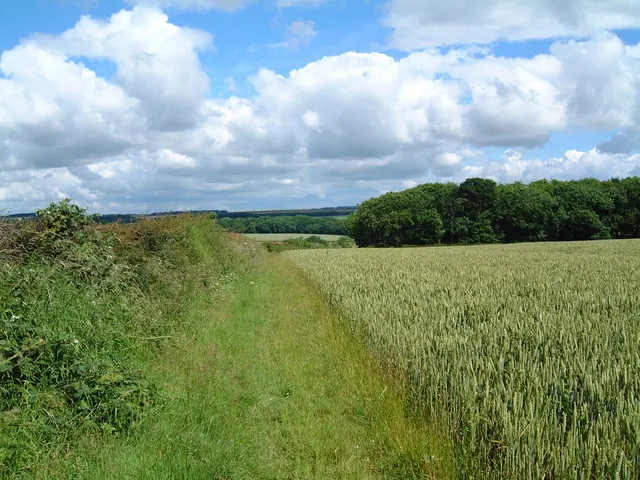
© Judith Cutler · Geograph · CC BY-SA 2.0
Images © their respective photographers, licensed under CC BY-SA 2.0 and reused here with attribution. Photographs depict listed buildings, churches and monuments near this settlement and may show neighbouring villages.
Data derived from the Open Domesday project (opendomesday.org), based on the Domesday Book dataset compiled by Professor J.J.N. Palmer and team. The Domesday Book (1086) is in the public domain.
Found an inaccuracy? [email protected]