Great Driffield in the Domesday Book (1086)
Great Driffield is named in the Domesday Book, compiled by Norman commissioners in 1086, entered under the hundred of Driffield in Yorkshire.
Other Settlements in Driffield
- Bainton
- Cranswick
- Eastburn
- Hutton [Cranswick]
- Kelleythorpe
- Neswick [Hall]
- Rotsea
- Skerne
- Southburn
- Tibthorpe
- Torp
- [Great] Kendale
- [Kirk]burn
- [Little] Driffield
The Meaning of the Name
The name Great Driffield is of Anglo-Saxon origin. Its final element derives from the Old English word feld, open country. The first element is most likely a personal name or an early descriptive term, now difficult to recover with certainty. Taken together the name probably meant something close to ‘a open land’.
Remarkably, the name has changed little since 1086, when the Domesday scribes wrote it as Great Driffield.
Listed Buildings Near Great Driffield
Historic England records 37 listed buildings within about a mile of Great Driffield. Listing protects structures of special architectural or historic interest, graded I (exceptional), II* (particularly important) and II.
Grade II
- Masonic Hall - 0.2 km
- Tiger Inn - 0.23 km
- 2-4, River Head - 0.24 km
- Buck Inn and Number 2 Adjoining to Right - 0.24 km
- Crane Approximately 60 Metres East of Number 5 - 0.27 km
- 27, River Head - 0.27 km
- Warehouse Approximately 37 Metres North East of Number 27 (Riverhead Court) - 0.28 km
- 24, Saint John’s Road - 0.29 km
- The Butcher’s Dog and 56 Market Place - 0.29 km
- Linderhof - 0.3 km
- Cobblestones - 0.3 km
- 51, Market Place - 0.33 km
- Mortimer’s Warehouse - 0.33 km
- 23, Exchange Street - 0.34 km
- Riverhead Mill - 0.34 km
- Bell Hotel - 0.38 km
- 6, New Road - 0.43 km
- Headmaster’s House - 0.44 km
- Crane Approximately 120 Metres South East of Mortimer’s Warehouse - 0.45 km
- Rose Garth - 0.47 km
- Easterfield House and Wing Walls - 0.47 km
- Nos. 31 and 32 New Road - 0.51 km
- Beechwood the Beeches - 0.52 km
- Burnside - 0.54 km
…and 13 more listed structures in the area.
Scheduled Monuments Near Great Driffield
Scheduled monuments are nationally important archaeological sites given legal protection. 2 lie within roughly a mile of Great Driffield:
- Moot Hill motte and bailey castle, and site of a medieval moated manor - 0.85 km
- Bowl barrow west of Driffield Beck, 220m south west of King’s Mill - 1.12 km
Great Driffield Today
Today Great Driffield lies within the administrative area of East Riding of Yorkshire, and the settlement recorded a population of 13,452 at the 2021 census. Nine and a half centuries separate that figure from the small rural community the Domesday survey recorded here in 1086.
Read more about modern Driffield on Wikipedia .
Nearby Domesday Settlements
Other places recorded in the 1086 survey within a few miles:
- Kelleythorpe - 1.4 km SW
- Little Driffield - 2.0 km W
- Skerne - 2.8 km SE
- Nafferton - 3.2 km E
- Elmswell - 3.2 km W
- Old Sunderlandwick - 3.2 km S
Heritage Around [Great] Driffield
Photographs of churches, listed buildings and monuments in the vicinity, contributed by volunteers to the Geograph project and reused here under a Creative Commons licence.
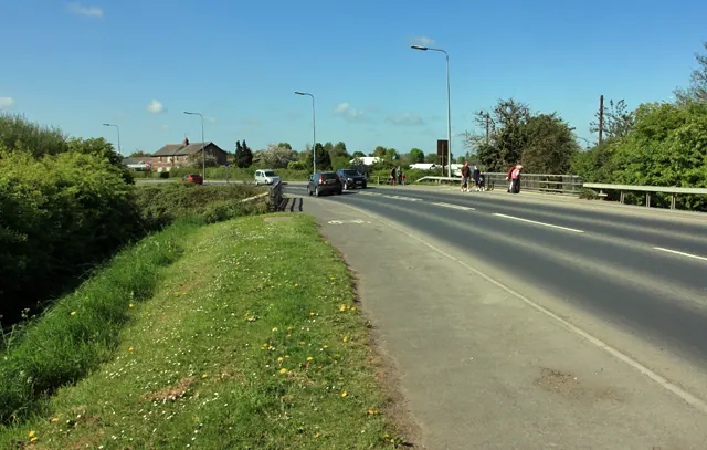
© Peter Church · Geograph · CC BY-SA 2.0
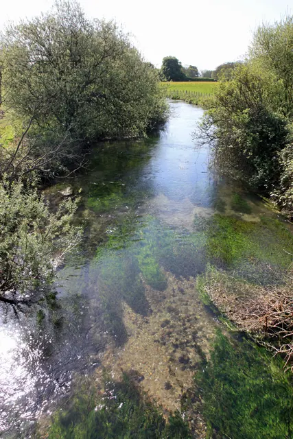
© Peter Church · Geograph · CC BY-SA 2.0
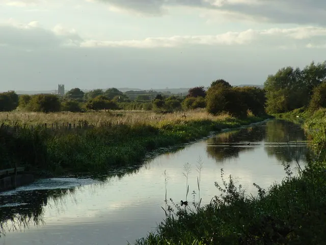
© John Phillips · Geograph · CC BY-SA 2.0
Images © their respective photographers, licensed under CC BY-SA 2.0 and reused here with attribution. Photographs depict listed buildings, churches and monuments near this settlement and may show neighbouring villages.
Data derived from the Open Domesday project (opendomesday.org), based on the Domesday Book dataset compiled by Professor J.J.N. Palmer and team. The Domesday Book (1086) is in the public domain.
Found an inaccuracy? [email protected]