Great Caldy in the Domesday Book (1086)
Great Caldy is named in the Domesday Book, compiled by Norman commissioners in 1086, entered under the hundred of Willaston in Cheshire. The survey assessed Great Caldy at 0.3 carucates of taxable land.
At the time of the survey, Great Caldy supported a recorded population of 3 villagers, 1 smallholder, 3 slaves, working 2 ploughs between them.
The survey records Great Caldy’s value at 10d in 1086. No pre-Conquest figure survives – not unusual in the North, where records were disrupted by the Harrying and by the patchy coverage of the survey.
Resources Recorded at Great Caldy (1086)
- Cattle: 4
- Sheep: 24
- Meadow: 20 acres
- Woodland: 1 acres
Other Settlements in Willaston
The Meaning of the Name
The origin of the name Great Caldy is not securely established from its modern form alone; like many settlement names in the North it likely combines an Old English or Old Norse personal name with a landscape term.
Remarkably, the name has changed little since 1086, when the Domesday scribes wrote it as Great Caldy.
Listed Buildings Near Great Caldy
Historic England records 15 listed buildings within about a mile of Great Caldy. Listing protects structures of special architectural or historic interest, graded I (exceptional), II* (particularly important) and II.
Grade II*
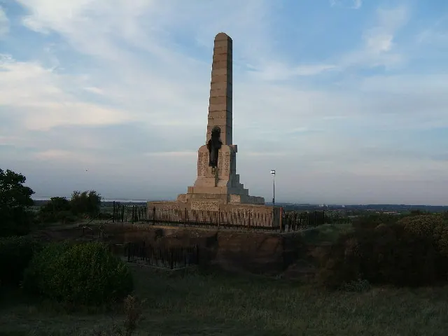
- Hoylake and West Kirby War Memorial - 0.96 km
Grade II
- Former Well House - 0.28 km
- Nook Cottage the Nook - 0.56 km
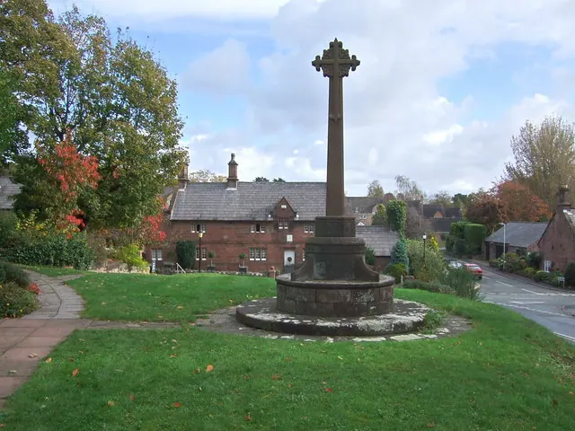
- West Kirby War Memorial - 0.75 km
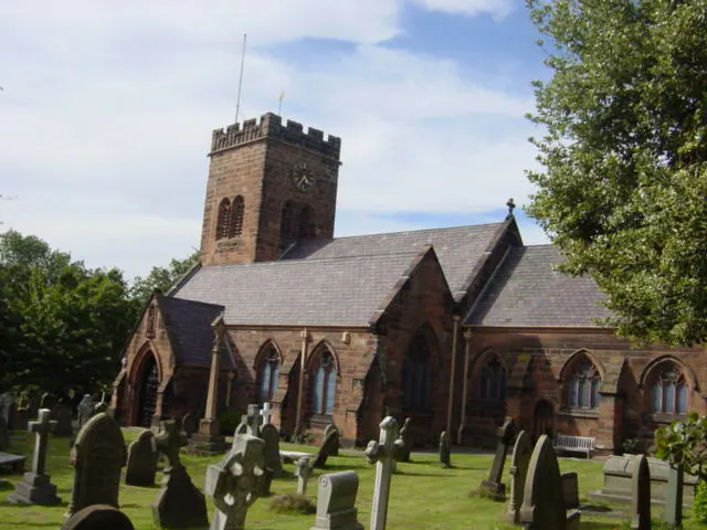
- Church of St Bridget - 0.77 km
- Caldy Manor - 1.11 km
- 5 Darmond’s Green - 1.13 km
- Manor Farmhouse - 1.16 km
- 96, Caldy Road - 1.18 km
- Church Hall - 1.19 km
- Dee Haven - 1.2 km
- Corner Cottage - 1.2 km
- Church of Resurrection and All Saints - 1.22 km
- Little Dene - 1.24 km
- Banks Farmhouse - 1.24 km
Scheduled Monuments Near Great Caldy
Scheduled monuments are nationally important archaeological sites given legal protection. 1 lies within roughly a mile of Great Caldy:
- Grange Beacon, Column Road, Hoylake - 0.37 km
Great Caldy Today
Today Great Caldy lies within the administrative area of Wirral, and the settlement recorded a population of 1,290 at recent figures. Nine and a half centuries separate that figure from the small rural community the Domesday survey recorded here in 1086.
Read more about modern Caldy on Wikipedia .
Nearby Domesday Settlements
Other places recorded in the 1086 survey within a few miles:
- Little Caldy - 1.4 km SE
- Greasby - 3.2 km E
- Thurstaston - 3.6 km SE
- Upton - 4.1 km E
- Great and Little Meols - 4.1 km N
- Thingwall - 5.4 km E
Heritage Around [Great] Caldy
Photographs of churches, listed buildings and monuments in the vicinity, contributed by volunteers to the Geograph project and reused here under a Creative Commons licence.
© Sue Adair · Geograph · CC BY-SA 2.0
© Adie Jackson · Geograph · CC BY-SA 2.0
© Peter Miller · Geograph · CC BY-SA 2.0
Images © their respective photographers, licensed under CC BY-SA 2.0 and reused here with attribution. Photographs depict listed buildings, churches and monuments near this settlement and may show neighbouring villages.
Data derived from the Open Domesday project (opendomesday.org), based on the Domesday Book dataset compiled by Professor J.J.N. Palmer and team. The Domesday Book (1086) is in the public domain.
Found an inaccuracy? [email protected]