Great Broughton in the Domesday Book (1086)
Great Broughton appears in the Domesday Book of 1086, entered under the hundred of Langbaurgh in Yorkshire. The survey assessed Great Broughton at 3 carucates of taxable land.
At the time of the survey, Great Broughton supported a recorded population of 18 villagers, working 4 ploughs between them.
The survey puts Great Broughton’s value at 4 shillings, the same as before the Conquest. Unchanged valuations are relatively rare in the North, where disruption was widespread.
Resources Recorded at Great Broughton (1086)
- Churches: 1
- Meadow: 4 acres
- Woodland: 5 swine render
Other Settlements in Langbaurgh
- Acklam
- Airy [Holme]
- Aislaby
- Arnodestorp
- Baldebi
- Barnaby
- Barwick
- Battersby
- Bergolbi
- Berguluesbi
- Blaten [Carr]
- Borrowby
- Breck
- Brotton
The Meaning of the Name
The name Great Broughton is of Anglo-Saxon origin. Its final element derives from the Old English word tūn, a farmstead or village. The first element is most likely a personal name or an early descriptive term, now difficult to recover with certainty. Taken together the name probably meant something close to ‘a farmstead’.
Remarkably, the name has changed little since 1086, when the Domesday scribes wrote it as Great Broughton.
Listed Buildings Near Great Broughton
Historic England records 15 listed buildings within about a mile of Great Broughton. Listing protects structures of special architectural or historic interest, graded I (exceptional), II* (particularly important) and II.
Grade II*
- Church of St Augustine - 0.88 km
Grade II
- Capstan - 0.14 km
- Manor House - 0.19 km
- Blue Hall Cottage - 0.38 km
- School House - 0.88 km
- Telephone Call Box to South of Church of St Augustine - 0.89 km
- The Vicarage - 0.89 km
- Kirby House - 0.9 km
- The Cottages Ivy House - 0.93 km
- The Cottages Wayside Cottage - 0.93 km
- The Cottages - 0.93 km
- Dernel the Cottages - 0.93 km
- Church Cottage - 0.93 km
- The Cottages Cleveland House - 0.93 km
- Broughton Grange - 1.03 km
Scheduled Monuments Near Great Broughton
Scheduled monuments are nationally important archaeological sites given legal protection. 1 lies within roughly a mile of Great Broughton:
- Medieval settlement of Little Broughton, associated field system and site of medieval chapel - 1.25 km
Great Broughton Today
Today Great Broughton lies within the administrative area of Great and Little Broughton, and the settlement recorded a population of 990 at recent figures. Nine and a half centuries separate that figure from the small rural community the Domesday survey recorded here in 1086.
Read more about modern Great Broughton on Wikipedia .
Nearby Domesday Settlements
Other places recorded in the 1086 survey within a few miles:
- Kirkby - 1.0 km W
- Dromonby Hall - 1.4 km SW
- Little Broughton - 2.0 km E
- Blaten Carr - 2.2 km SW
- Great Busby - 2.2 km SW
- Stokesley - 2.8 km NW
Heritage Around [Great] Broughton
Photographs of churches, listed buildings and monuments in the vicinity, contributed by volunteers to the Geograph project and reused here under a Creative Commons licence.
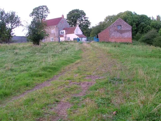
© Mick Garratt · Geograph · CC BY-SA 2.0
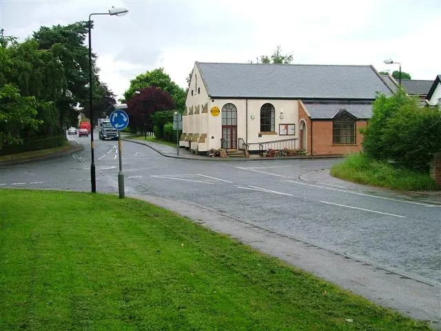
© Mick Garratt · Geograph · CC BY-SA 2.0
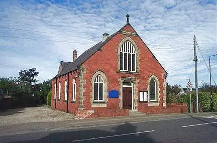
© Bill Henderson · Geograph · CC BY-SA 2.0
Images © their respective photographers, licensed under CC BY-SA 2.0 and reused here with attribution. Photographs depict listed buildings, churches and monuments near this settlement and may show neighbouring villages.
Data derived from the Open Domesday project (opendomesday.org), based on the Domesday Book dataset compiled by Professor J.J.N. Palmer and team. The Domesday Book (1086) is in the public domain.
Found an inaccuracy? [email protected]