Great Ayton in the Domesday Book (1086)
Great Ayton is named in the Domesday Book, compiled by Norman commissioners in 1086, entered under the hundred of Langbaurgh in Yorkshire.
Other Settlements in Langbaurgh
- Acklam
- Airy [Holme]
- Aislaby
- Arnodestorp
- Baldebi
- Barnaby
- Barwick
- Battersby
- Bergolbi
- Berguluesbi
- Blaten [Carr]
- Borrowby
- Breck
- Brotton
The Meaning of the Name
The name Great Ayton is of Anglo-Saxon origin. Its final element derives from the Old English word tūn, a farmstead or village. The first element is most likely a personal name or an early descriptive term, now difficult to recover with certainty. Taken together the name probably meant something close to ‘a farmstead’.
Remarkably, the name has changed little since 1086, when the Domesday scribes wrote it as Great Ayton.
Listed Buildings Near Great Ayton
Historic England records 52 listed buildings within about a mile of Great Ayton. Listing protects structures of special architectural or historic interest, graded I (exceptional), II* (particularly important) and II.
Grade II
- Seaton House - 0.12 km
- Numbers 6 and 8 (Lodge to Friends’ School) and Wall Attached - 0.27 km
- Number 13 (Stonelea) and Number 15 - 0.27 km
- Great Ayton Quaker Meeting House - 0.32 km
- Ivy Cottage Nutshell - 0.33 km
- Acorn - 0.34 km
- Friends’ School East Central Building - 0.34 km
- Friends’ School West Central Building - 0.34 km
- 1,2 and 3, High Green - 0.35 km
- Hope Cottage - 0.39 km
- The Royal Oak Hotel - 0.4 km
- Orchard House - 0.41 km
- 11, 12 and 12A, High Green - 0.42 km
- 14-16, High Green - 0.43 km
- 10, PARK SQUARE (See details for further address information) - 0.43 km
- Barclays Bank - 0.44 km
- Archway Cottage - 0.45 km
- K6 Telephone Kiosk - 0.45 km
- Rosehill Rosehill Lodge - 0.48 km
- Captain Cook’s Schoolroom - 0.49 km
- Cleveland Lodge - 0.51 km
- Wall and Stable Buildings to North East of Cleveland Lodge - 0.55 km
- Beech Grove - 0.7 km
- Number 63 and Area Wall - 0.74 km
…and 28 more listed structures in the area.
Great Ayton Today
Today Great Ayton lies within the administrative area of Hambleton, and the settlement recorded a population of 4,454 at the 2021 census. Nine and a half centuries separate that figure from the small rural community the Domesday survey recorded here in 1086.
Read more about modern Great Ayton on Wikipedia .
Nearby Domesday Settlements
Other places recorded in the 1086 survey within a few miles:
- Little Ayton - 1.0 km E
- Airy Holme - 1.4 km NE
- Easby - 2.2 km SE
- Newton - 3.0 km N
- Nunthorpe - 3.6 km NW
- Tanton - 4.0 km W
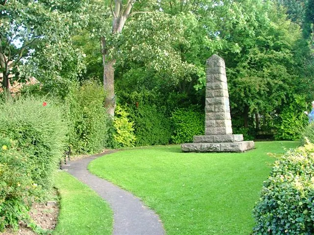
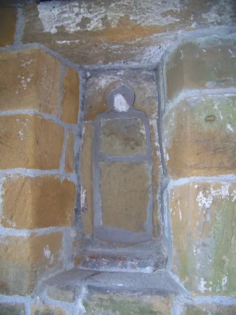
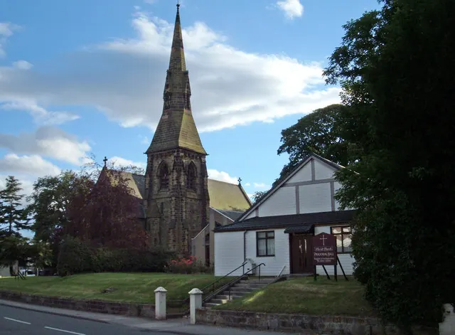
Heritage Around [Great] Ayton
Photographs of churches, listed buildings and monuments in the vicinity, contributed by volunteers to the Geograph project and reused here under a Creative Commons licence.
© Mick Garratt · Geograph · CC BY-SA 2.0
© Maigheach-gheal · Geograph · CC BY-SA 2.0
© michael ely · Geograph · CC BY-SA 2.0
Images © their respective photographers, licensed under CC BY-SA 2.0 and reused here with attribution. Photographs depict listed buildings, churches and monuments near this settlement and may show neighbouring villages.
Data derived from the Open Domesday project (opendomesday.org), based on the Domesday Book dataset compiled by Professor J.J.N. Palmer and team. The Domesday Book (1086) is in the public domain.
Found an inaccuracy? [email protected]