Great and Little Sutton in the Domesday Book (1086)
The settlement of Great and Little Sutton is recorded in William I’s Domesday survey of 1086, entered under the hundred of Willaston in Cheshire. The survey assessed Great and Little Sutton at 11.0 carucates of taxable land.
At the time of the survey, Great and Little Sutton supported a recorded population of 12 villagers, 8 smallholders, 3 slaves, 4 freemanmen, working 7 ploughs between them.
The survey records Great and Little Sutton’s value at 4.25 shillings in 1086. No pre-Conquest figure survives – not unusual in the North, where records were disrupted by the Harrying and by the patchy coverage of the survey.
The survey lists 2 manors at Great and Little Sutton under different lords. Splitting a single settlement between multiple tenants was common across the North – Saxon estates broken up and handed to William’s followers after 1066.
Resources Recorded at Great and Little Sutton (1086)
- Mills: 2 mills (valued at 7d)
- Meadow: 12 None
Other Settlements in Willaston
The Meaning of the Name
The name Great and Little Sutton is of Anglo-Saxon origin. Its final element derives from the Old English word tūn, a farmstead or village. The first element is most likely a personal name or an early descriptive term, now difficult to recover with certainty. Taken together the name probably meant something close to ‘a farmstead’.
Remarkably, the name has changed little since 1086, when the Domesday scribes wrote it as Great and Little Sutton.
Listed Buildings Near Great and Little Sutton
Historic England records 12 listed buildings within about a mile of Great and Little Sutton. Listing protects structures of special architectural or historic interest, graded I (exceptional), II* (particularly important) and II.
Grade II*
- Church of St Paul, including south-west boundary wall and gates, Hooton - 0.88 km
- Hooton Lodge With Screen Wall and Gates - 0.88 km
Grade II
- Little Sutton Station - 0.67 km
- Station Footbridge - 0.7 km
- 354 and 356, Chester Road - 0.81 km
- Hooton, Childer Thornton and Little Sutton War Memorial - 0.89 km
- 184, Chester Road - 1.03 km
- Thorton Hall - 1.06 km
- 180, Chester Road - 1.08 km
- White Lion Inn - 1.11 km
- Tarry-a-wee - 1.12 km
- Hooton Park Farmhouse - 1.16 km
Great and Little Sutton Today
Today Great and Little Sutton lies within the administrative area of Cheshire West and Chester.
Read more about modern Little Sutton on Wikipedia .
Nearby Domesday Settlements
Other places recorded in the 1086 survey within a few miles:
- Hooton - 2.2 km NW
- Eastham - 3.6 km NW
- Ledsham - 3.6 km SW
- Hadlow - 4.0 km W
- Capenhurst - 4.1 km S
- Stanney and Little Stanney - 5.0 km SE
Heritage Around [Great and Little] Sutton
Photographs of churches, listed buildings and monuments in the vicinity, contributed by volunteers to the Geograph project and reused here under a Creative Commons licence.
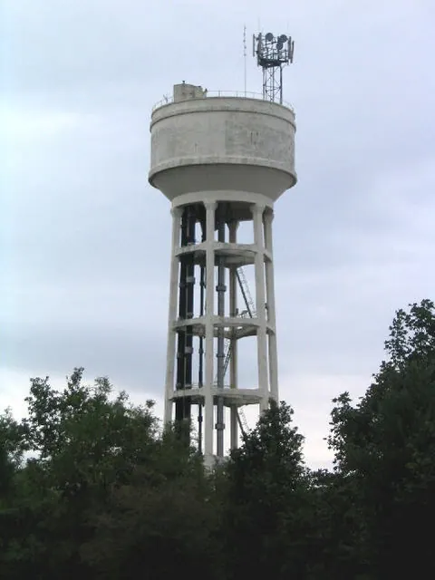
© Peter Craine · Geograph · CC BY-SA 2.0
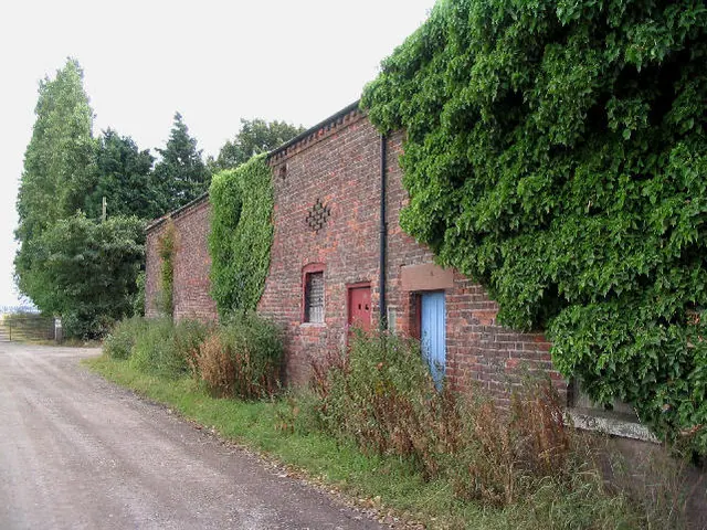
© Peter Craine · Geograph · CC BY-SA 2.0
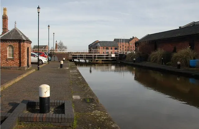
© Galatas · Geograph · CC BY-SA 2.0
Images © their respective photographers, licensed under CC BY-SA 2.0 and reused here with attribution. Photographs depict listed buildings, churches and monuments near this settlement and may show neighbouring villages.
Data derived from the Open Domesday project (opendomesday.org), based on the Domesday Book dataset compiled by Professor J.J.N. Palmer and team. The Domesday Book (1086) is in the public domain.
Found an inaccuracy? [email protected]