Great and Little Ribston in the Domesday Book (1086)
The settlement of Great and Little Ribston is recorded in William I’s Domesday survey of 1086, entered under the hundred of Burghshire in Yorkshire. The survey assessed Great and Little Ribston at 0.8 carucates of taxable land.
At the time of the survey, Great and Little Ribston supported a recorded population of 2 villagers.
The valuation dropped between 1066 and 1086. Before 1066, Great and Little Ribston was worth 1.5 shillings; by 1086 that had dropped to 1.36 shillings – a fall of 9%. Most Yorkshire villages that lost value on this scale were swept up in the Harrying of the North – William’s scorched-earth campaign of 1069–70.
Resources Recorded at Great and Little Ribston (1086)
- Meadow: 6 acres
- Woodland: 2 * 1 furlongs
Other Settlements in Burghshire
- Addlethorpe
- Aismunderby
- Aldfield
- Allerton [Mauleverer]
- Arkendale
- Askwith
- Azerley
- Barrowby [Grange]
- Beckwith [House]
- Besthaim
- Bestham
- Bewerley
- Bilton
- Birstwith
The Meaning of the Name
The name Great and Little Ribston is of Anglo-Saxon origin. Its final element derives from the Old English word tūn, a farmstead or village. The first element is most likely a personal name or an early descriptive term, now difficult to recover with certainty. Taken together the name probably meant something close to ‘a farmstead’.
Remarkably, the name has changed little since 1086, when the Domesday scribes wrote it as Great and Little Ribston.
Listed Buildings Near Great and Little Ribston
Historic England records 24 listed buildings within about a mile of Great and Little Ribston. Listing protects structures of special architectural or historic interest, graded I (exceptional), II* (particularly important) and II.
Grade II*
- Ribston Hall - 0.65 km
- Chapel of St Andrew Ribston Hall - 0.66 km
- Stables to North of Ribston Hall - 0.68 km
Grade II
- Holly Cottage - 0.21 km
- Ha-ha to South and West of Ribston Hall - 0.57 km
- Sundial to South West of Ribston Hall - 0.6 km
- Terrace Walls, Steps and Urns to South West of Ribston Hall - 0.62 km
- Statue on Terrace, Left, to South West of Ribston Hall - 0.63 km
- Statue in Gardens to West of Stables, Ribston Hall - 0.63 km
- Statue on Terrace, Right, to South West of Ribston Hall - 0.63 km
- Statue in Gardens to North West of Stables, Ribston Hall - 0.64 km
- Statue in Gardens Approximately 10 Metres From West Side of Stables, Ribston Hall - 0.64 km
- Stable House, Ribston Hall - 0.65 km
- Former Laundry House to Ribston Hall - 0.65 km
- Crimple Bridge on Parish Boundary With North Deighton - 0.66 km
- Rustic Footbridge in Gardens to North of Ribston Hall - 0.66 km
- Statue Outside South Wall of Walled Garden, on Right, Ribston Hall - 0.7 km
- Statue Outside South Wall of Walled Garden, on Left, Ribston Hall - 0.7 km
- Walls of Walled Garden With South Building and 3 Gateways With Gates - 0.71 km
- Gothic Folly at North End of Gardens Ribston Hall - 0.72 km
- Statue at North End of Gardens Ribston Hall - 0.77 km
- Gate Piers, Railings, and Pair of Lodge Houses at Ribston Lodge - 0.84 km
- Bridge Over River Nidd at Ribston Lodge - 0.88 km
- Bridge Over River Nidd at Ribston Lodge - 0.88 km
Great and Little Ribston Today
Today Great and Little Ribston lies within the administrative area of Harrogate, and the settlement recorded a population of 207 at the 2021 census. Nine and a half centuries separate that figure from the small rural community the Domesday survey recorded here in 1086.
Read more about modern Little Ribston on Wikipedia .
Nearby Domesday Settlements
Other places recorded in the 1086 survey within a few miles:
- Newsome Farm - 2.2 km SW
- Kirk and North Deighton - 2.2 km SE
- Caldeuuelle - 2.8 km SW
- Cradeuuelle - 2.8 km SW
- Spofforth - 2.8 km SW
- Goldsborough - 3.0 km N
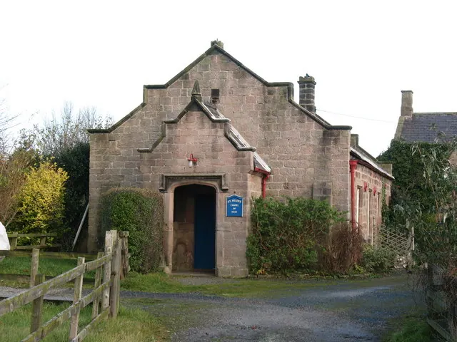
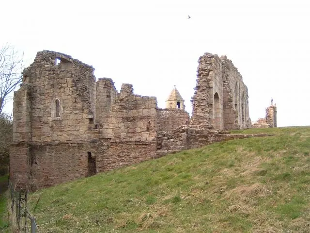
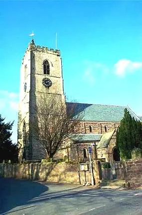
Heritage Around [Great and Little] Ribston
Photographs of churches, listed buildings and monuments in the vicinity, contributed by volunteers to the Geograph project and reused here under a Creative Commons licence.
© Gordon Hatton · Geograph · CC BY-SA 2.0
© Paul Allison · Geograph · CC BY-SA 2.0
© Bill Henderson · Geograph · CC BY-SA 2.0
Images © their respective photographers, licensed under CC BY-SA 2.0 and reused here with attribution. Photographs depict listed buildings, churches and monuments near this settlement and may show neighbouring villages.
Data derived from the Open Domesday project (opendomesday.org), based on the Domesday Book dataset compiled by Professor J.J.N. Palmer and team. The Domesday Book (1086) is in the public domain.
Found an inaccuracy? [email protected]