Great and Little Newsome in the Domesday Book (1086)
Great and Little Newsome appears in the Domesday Book of 1086, entered under the hundred of Holderness [South Hundred] in Yorkshire. The survey assessed Great and Little Newsome at 2 carucates of taxable land.
At the time of the survey, Great and Little Newsome supported a recorded population of 9 villagers, 14 smallholders, working 4 ploughs between them.
The numbers record a sharp fall. Before 1066, Great and Little Newsome was worth 13 shillings; by 1086 that had dropped to 10 shillings – a fall of 23%. Most Yorkshire villages that lost value on this scale were swept up in the Harrying of the North – William’s scorched-earth campaign of 1069–70.
The survey lists 2 manors at Great and Little Newsome under different lords. Splitting a single settlement between multiple tenants was common across the North – Saxon estates broken up and handed to William’s followers after 1066.
Resources Recorded at Great and Little Newsome (1086)
- Churches: 1
Other Settlements in Holderness [South Hundred]
- Andrebi
- Burstwick
- Camerton [Hall]
- Dimlington
- Easington
- Grimston
- Halsham
- Hilston
- Hollym
- Holmpton
- Keyingham
- Kilnsea
- Monkwith
- Newton [Garth]
The Meaning of the Name
The origin of the name Great and Little Newsome is not securely established from its modern form alone; like many settlement names in the North it likely combines an Old English or Old Norse personal name with a landscape term.
Remarkably, the name has changed little since 1086, when the Domesday scribes wrote it as Great and Little Newsome.
Listed Buildings Near Great and Little Newsome
Historic England records 2 listed buildings within about a mile of Great and Little Newsome. Listing protects structures of special architectural or historic interest, graded I (exceptional), II* (particularly important) and II.
Grade II
- Keeper’s Cottage and Adjoining Garden Walls Approximately 200 Metres South-east of Winestead Hall Hospital Office and Service Block - 1.01 km
- Winestead Hall Hospital Office and Service Block - 1.01 km
Nearby Domesday Settlements
Other places recorded in the 1086 survey within a few miles:
Heritage Around [Great and Little] Newsome
Photographs of churches, listed buildings and monuments in the vicinity, contributed by volunteers to the Geograph project and reused here under a Creative Commons licence.
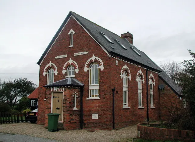
© Paul Glazzard · Geograph · CC BY-SA 2.0
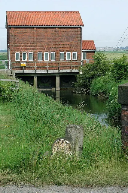
© Paul Glazzard · Geograph · CC BY-SA 2.0
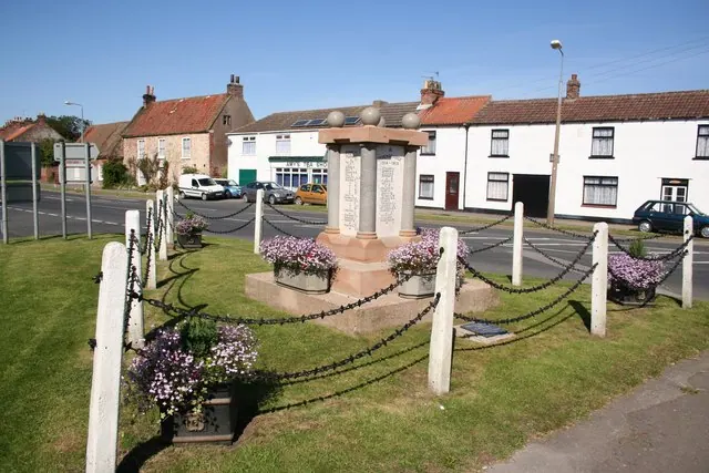
© Richard Croft · Geograph · CC BY-SA 2.0
Images © their respective photographers, licensed under CC BY-SA 2.0 and reused here with attribution. Photographs depict listed buildings, churches and monuments near this settlement and may show neighbouring villages.
Location
53.7183°N, -0.0222°W · Holderness [South Hundred] hundred, Yorkshire
View larger map on OpenStreetMap →Data derived from the Open Domesday project (opendomesday.org), based on the Domesday Book dataset compiled by Professor J.J.N. Palmer and team. The Domesday Book (1086) is in the public domain.
Found an inaccuracy? [email protected]