Great and Little Hucklow in the Domesday Book (1086)
Great and Little Hucklow is named in the Domesday Book, compiled by Norman commissioners in 1086, entered under the hundred of Blackwell in Derbyshire.
Other Settlements in Blackwell
- Abney
- Ashford [-in-the-Water]
- Aston
- Bakewell
- Bamford
- Baslow
- Beeley
- Birchills
- Birchover
- Blackwell
- Bradwell
- Bubnell
- Burley
- Burton
The Meaning of the Name
The origin of the name Great and Little Hucklow is not securely established from its modern form alone; like many settlement names in the North it likely combines an Old English or Old Norse personal name with a landscape term.
Remarkably, the name has changed little since 1086, when the Domesday scribes wrote it as Great and Little Hucklow.
Listed Buildings Near Great and Little Hucklow
Historic England records 2 listed buildings within about a mile of Great and Little Hucklow. Listing protects structures of special architectural or historic interest, graded I (exceptional), II* (particularly important) and II.
Grade II*
- The Manor House - 0.2 km
Grade II
- Artis Farmhouse and attached Barn - 1.15 km
Scheduled Monuments Near Great and Little Hucklow
Scheduled monuments are nationally important archaeological sites given legal protection. 4 lie within roughly a mile of Great and Little Hucklow:
- Cop Low oval barrow - 0.67 km
- High Rake Mine - 0.71 km
- Tideslow Rake lead rake and lime kiln - 1.28 km
- Burr Tor prehistoric stock enclosure - 1.4 km
Great and Little Hucklow Today
Today Great and Little Hucklow lies within the administrative area of Derbyshire Dales, and the settlement recorded a population of 88 at the 2021 census. Nine and a half centuries separate that figure from the small rural community the Domesday survey recorded here in 1086.
Read more about modern Little Hucklow on Wikipedia .
Nearby Domesday Settlements
Other places recorded in the 1086 survey within a few miles:
Heritage Around [Great and Little] Hucklow
Photographs of churches, listed buildings and monuments in the vicinity, contributed by volunteers to the Geograph project and reused here under a Creative Commons licence.
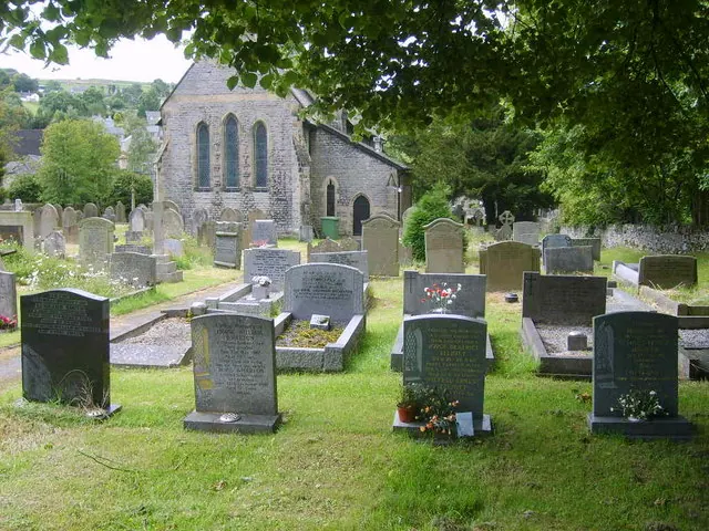
© William Metcalfe · Geograph · CC BY-SA 2.0
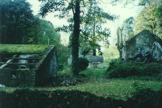
© Humphrey Bolton · Geograph · CC BY-SA 2.0
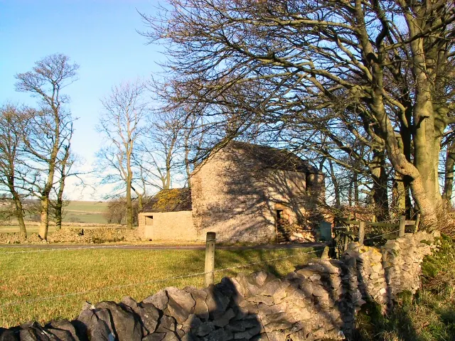
© Roger May · Geograph · CC BY-SA 2.0
Images © their respective photographers, licensed under CC BY-SA 2.0 and reused here with attribution. Photographs depict listed buildings, churches and monuments near this settlement and may show neighbouring villages.
Data derived from the Open Domesday project (opendomesday.org), based on the Domesday Book dataset compiled by Professor J.J.N. Palmer and team. The Domesday Book (1086) is in the public domain.
Found an inaccuracy? [email protected]