Great and Little Crosby in the Domesday Book (1086)
The settlement of Great and Little Crosby is recorded in William I’s Domesday survey of 1086, entered under the hundred of [West] Derby in Cheshire.
Other Settlements in [West] Derby
- Ainsdale
- Allerton
- Argarmeles
- Aughton
- Barton
- Bootle
- Childwall
- Dalton
- Downholland
- Formby
- Halsall
- Hurlston
- Huyton
- Ince [Blundell]
The Meaning of the Name
The name Great and Little Crosby is of Scandinavian origin. Its final element derives from the Old Norse word bý, a farmstead or village. The first element is most likely a personal name or an early descriptive term, now difficult to recover with certainty. Taken together the name probably meant something close to ‘a farmstead’.
Names of this type are a fingerprint of Scandinavian settlement: they cluster across the old Danelaw, where Norse-speaking settlers renamed or founded villages from the late 9th century onward.
Remarkably, the name has changed little since 1086, when the Domesday scribes wrote it as Great and Little Crosby.
Listed Buildings Near Great and Little Crosby
Historic England records 45 listed buildings within about a mile of Great and Little Crosby. Listing protects structures of special architectural or historic interest, graded I (exceptional), II* (particularly important) and II.
Grade II*
Grade II
- Carnegie Library - 0.06 km
- Great Crosby and Blundellsands War Memorial - 0.07 km
- Crosby United Reformed Church - 0.13 km
- Streatham House Independent School - 0.28 km
- Station House - 0.42 km
- 37, Victoria Road - 0.55 km
- 121, Liverpool Road - 0.59 km
- 123, Liverpool Road - 0.59 km
- Church of St Nicholas - 0.6 km
- No. 137 Liverpool Road - 0.61 km
- The Crows Nest Public House - 0.63 km
- 18-22, Warren Road and Treleaven House, 18 Blundellsands Road West - 0.64 km
- Cross - 0.66 km
- Headmasters House to Merchant Taylors School (Boys) - 0.66 km
- Church of St Luke - 0.69 km
- Sandford - 0.71 km
- Main Building Merchant Taylors School (Boys) - 0.71 km
- Nazareth House (That Portion Called Crosby House Only) - 0.72 km
- Entrance Lodge to Merchant Taylors School (Boys) - 0.74 km
- Entrance Gateway to Merchant Taylors School (Boys) - 0.76 km
- Numbers 2-14 and Front Garden Walls and Gate Piers - 0.77 km
- Church of St Joseph - 0.85 km
- Blundellsands United Reformed Church - 0.93 km
…and 21 more listed structures in the area.
Great and Little Crosby Today
Today Great and Little Crosby lies within the administrative area of Sefton, and the settlement recorded a population of 51,789 at the 2001 census. Nine and a half centuries separate that figure from the small rural community the Domesday survey recorded here in 1086.
Read more about modern Crosby on Wikipedia .
Nearby Domesday Settlements
Other places recorded in the 1086 survey within a few miles:
- Down Litherland - 2.8 km SE
- Thornton - 3.6 km NE
- Ince Blundell - 4.1 km N
- Sefton - 4.5 km NE
- Bootle - 5.8 km SE
- Walton on the Hill - 6.4 km SE
Heritage Around [Great and Little] Crosby
Photographs of churches, listed buildings and monuments in the vicinity, contributed by volunteers to the Geograph project and reused here under a Creative Commons licence.
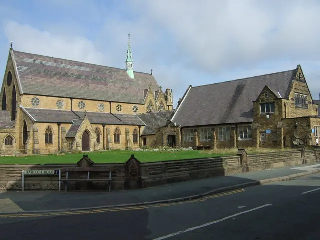
© Colin Pyle · Geograph · CC BY-SA 2.0
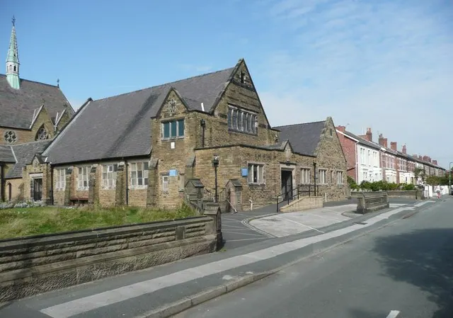
© Humphrey Bolton · Geograph · CC BY-SA 2.0
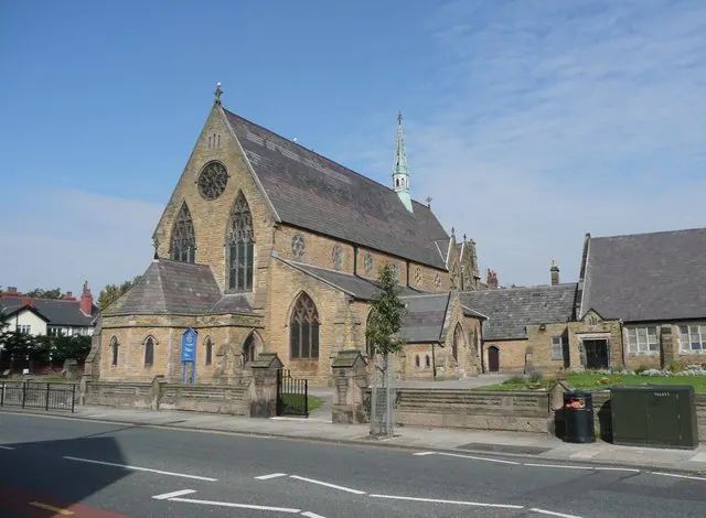
© Humphrey Bolton · Geograph · CC BY-SA 2.0
Images © their respective photographers, licensed under CC BY-SA 2.0 and reused here with attribution. Photographs depict listed buildings, churches and monuments near this settlement and may show neighbouring villages.
Data derived from the Open Domesday project (opendomesday.org), based on the Domesday Book dataset compiled by Professor J.J.N. Palmer and team. The Domesday Book (1086) is in the public domain.
Found an inaccuracy? [email protected]