Greasby in the Domesday Book (1086)
Greasby appears in the Domesday Book of 1086, entered under the hundred of Willaston in Cheshire. The survey assessed Greasby at 2.1 carucates of taxable land.
At the time of the survey, Greasby supported a recorded population of 2 villagers, 19 smallholders, 2 slaves, working 2 ploughs between them.
By 1086 Greasby was worth 56 shillings, up from 55.5 shillings before the Conquest – one of the few settlements in the area to hold its value through the upheaval.
The survey lists 7 manors at Greasby under different lords. Splitting a single settlement between multiple tenants was common across the North – Saxon estates broken up and handed to William’s followers after 1066.
Resources Recorded at Greasby (1086)
- Mills: 4 mills (valued at 5.65 shillings)
- Churches: 1
- Meadow: 8 None
- Woodland: 5 None
Other Settlements in Willaston
The Meaning of the Name
The name Greasby is of Scandinavian origin. Its final element derives from the Old Norse word bý, a farmstead or village. The first element is most likely a personal name or an early descriptive term, now difficult to recover with certainty. Taken together the name probably meant something close to ‘a farmstead’.
Names of this type are a fingerprint of Scandinavian settlement: they cluster across the old Danelaw, where Norse-speaking settlers renamed or founded villages from the late 9th century onward.
Remarkably, the name has changed little since 1086, when the Domesday scribes wrote it as Greasby.
Listed Buildings Near Greasby
Historic England records 16 listed buildings within about a mile of Greasby. Listing protects structures of special architectural or historic interest, graded I (exceptional), II* (particularly important) and II.
Grade II
- Former Barn to Rear of the Manor - 0.27 km
- The Manor - 0.29 km
- Gate Piers to the Manor - 0.3 km
- Greasby Old Hall - 0.32 km
- Church of St John the Divine - 0.99 km
- Saughall Massie Bridge - 1.1 km
- Ivy Cottage - 1.15 km
- Outbuilding to Rear of Poplar Farmhouse - 1.18 km
- Poplar Farmhouse - 1.19 km
- No. 2 (Half Inn House) and No. 4 The Nook - 1.24 km
- Well House Farm - 1.27 km
- The Elms - 1.27 km
- Gate Piers to Yew Tree Farmhouse - 1.28 km
- Garden Wall to House on East Side of Village Green - 1.28 km
- Old Post Office - 1.29 km
- Yew Tree Farmhouse - 1.29 km
Greasby Today
Today Greasby lies within the administrative area of Wirral, and the settlement recorded a population of 9,830 at recent figures. Nine and a half centuries separate that figure from the small rural community the Domesday survey recorded here in 1086.
Read more about modern Greasby on Wikipedia .
Nearby Domesday Settlements
Other places recorded in the 1086 survey within a few miles:
- Upton - 1.0 km E
- Little Caldy - 2.8 km SW
- Great Caldy - 3.2 km W
- Landican - 3.6 km SE
- Great and Little Meols - 3.6 km NW
- Thingwall - 3.6 km SE
Heritage Around Greasby
Photographs of churches, listed buildings and monuments in the vicinity, contributed by volunteers to the Geograph project and reused here under a Creative Commons licence.
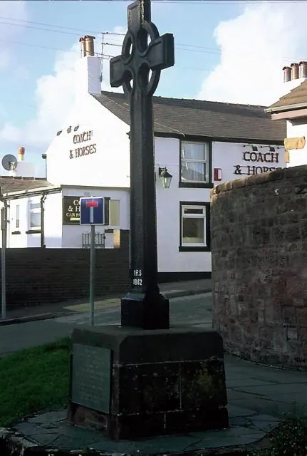
© Rosalind Mitchell · Geograph · CC BY-SA 2.0
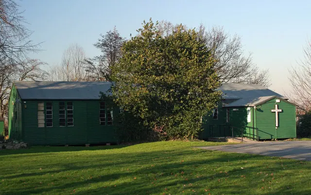
© J Scott · Geograph · CC BY-SA 2.0
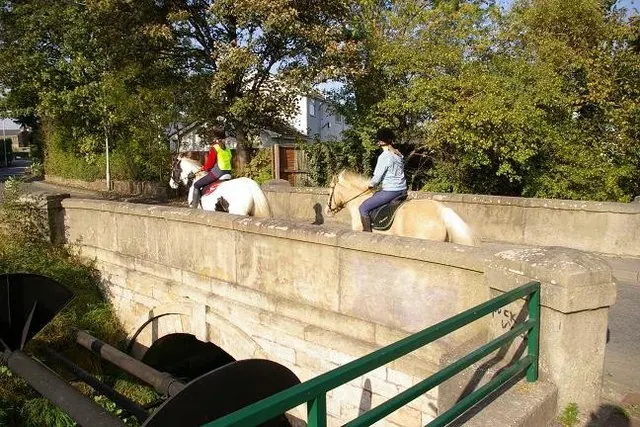
© Peter Craine · Geograph · CC BY-SA 2.0
Images © their respective photographers, licensed under CC BY-SA 2.0 and reused here with attribution. Photographs depict listed buildings, churches and monuments near this settlement and may show neighbouring villages.
Data derived from the Open Domesday project (opendomesday.org), based on the Domesday Book dataset compiled by Professor J.J.N. Palmer and team. The Domesday Book (1086) is in the public domain.
Found an inaccuracy? [email protected]