Grassington in the Domesday Book (1086)
The 1086 Domesday survey records the settlement of Grassington, entered under the hundred of Craven in Yorkshire.
Other Settlements in Craven
- Addingham
- Airton
- Anley
- Appletreewick
- Arncliffe
- Arnford
- Barnoldswick
- Bashall [Eaves]
- Battersby [Barn]
- Beamsley
- Birkby [Hall]
- Bogeuurde
- Bolton [Abbey]
- Bolton [by Bowland]
The Meaning of the Name
The name Grassington is of Anglo-Saxon origin. Its final element derives from the Old English word tūn, a farmstead or village. The first element is most likely a personal name or an early descriptive term, now difficult to recover with certainty. Taken together the name probably meant something close to ‘a farmstead’.
Remarkably, the name has changed little since 1086, when the Domesday scribes wrote it as Grassington.
Listed Buildings Near Grassington
Historic England records 27 listed buildings within about a mile of Grassington. Listing protects structures of special architectural or historic interest, graded I (exceptional), II* (particularly important) and II.
Grade II*
- Grassington Hall - 0.57 km
- Church of St Michael and All Angels - 1.25 km
Grade II
- Methodist Church and Sunday School With Front Walls Steps Railings and Gates - 0.33 km
- Bank Cottage - 0.33 km
- Rathmell Fold - 0.36 km
- 2 4 and 6, Chamber End Fold - 0.39 km
- 12 and 14, Chamber End Fold - 0.41 km
- 53, Main Street - 0.43 km
- 8 and 10, Town Head - 0.43 km
- Pletts Barn - 0.45 km
- Town Head Farmhouse - 0.45 km
- Congregational Church - 0.48 km
- Black Horse Hotel - 0.52 km
- Ashfield House - 0.52 km
- Liverpool Warehouse - 0.54 km
- 11, Scar Street - 0.54 km
- Pump Casing and Two Troughs - 0.57 km
- Grassington House Hotel - 0.57 km
- 1A 1B and 2, Broughton Fold - 0.6 km
- Church House - 0.61 km
- 3, Main Street - 0.64 km
- Grassington Bridge - 1.01 km
- Ladywell Cottage - 1.05 km
- Bridge End Farmhouse - 1.08 km
…and 3 more listed structures in the area.
Scheduled Monuments Near Grassington
Scheduled monuments are nationally important archaeological sites given legal protection. 4 lie within roughly a mile of Grassington:
- Grassington enclosures - 0.9 km
- Hydro-electric power house and associated weir 250m north west of Tin Bridge - 1.2 km
- Yarnbury henge monument - 1.24 km
- Linton churchyard cross and sundial - 1.26 km
Grassington Today
Today Grassington lies within the administrative area of North Yorkshire, and the settlement recorded a population of 1,109 at the 2021 census. Nine and a half centuries separate that figure from the small rural community the Domesday survey recorded here in 1086.
Read more about modern Grassington on Wikipedia .
Nearby Domesday Settlements
Other places recorded in the 1086 survey within a few miles:
Heritage Around Grassington
Photographs of churches, listed buildings and monuments in the vicinity, contributed by volunteers to the Geograph project and reused here under a Creative Commons licence.
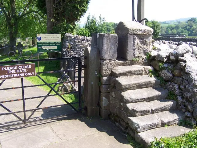
© Joe Regan · Geograph · CC BY-SA 2.0
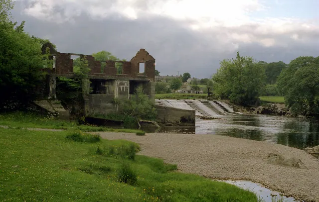
© Dr Neil Clifton · Geograph · CC BY-SA 2.0
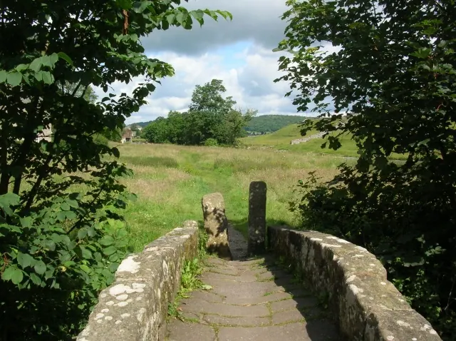
© DS Pugh · Geograph · CC BY-SA 2.0
Images © their respective photographers, licensed under CC BY-SA 2.0 and reused here with attribution. Photographs depict listed buildings, churches and monuments near this settlement and may show neighbouring villages.
Data derived from the Open Domesday project (opendomesday.org), based on the Domesday Book dataset compiled by Professor J.J.N. Palmer and team. The Domesday Book (1086) is in the public domain.
Found an inaccuracy? [email protected]