Grappenhall in the Domesday Book (1086)
The settlement of Grappenhall is recorded in William I’s Domesday survey of 1086, entered under the hundred of Bucklow in Cheshire.
Other Settlements in Bucklow
- Appleton
- Ashley
- Aston [by Budworth]
- Aston [by Sutton]
- Bartington
- Clifton
- Dunham [Massey]
- Eanley
- Lymm
- Mobberley
- Northenden
- Norton
- Ollerton
- Tatton
The Meaning of the Name
The origin of the name Grappenhall is not securely established from its modern form alone; like many settlement names in the North it likely combines an Old English or Old Norse personal name with a landscape term.
Remarkably, the name has changed little since 1086, when the Domesday scribes wrote it as Grappenhall.
Listed Buildings Near Grappenhall
Historic England records 15 listed buildings within about a mile of Grappenhall. Listing protects structures of special architectural or historic interest, graded I (exceptional), II* (particularly important) and II.
Grade I
- Church of St Wilfrid - 0.9 km
Grade II
- Greenbank - 0.81 km
- Grappenhall Rectory - 0.86 km
- The Hall, With Gates and Forecourt Walls - 0.86 km
- Church Cottage East and Church Cottage West - 0.87 km
- Pair of Gatepiers to Yard of Rectory - 0.87 km
- Stocks at Entrance to St Wilfred’s Churchyard - 0.87 km
- Sundial in St Wilfred’s Churchyard (4 Metres South of Church Porch) - 0.89 km
- Bridge Stores - 0.9 km
- Bridgewater Canal Church Lane Bridge - 0.91 km
- 2 and 4, Laurel Bank - 0.98 km
- Travellers’ Rest stone at Grappenhall - 0.98 km
- Wright’s Green Cottage - 1.01 km
- Wrights Green House - 1.01 km
- Bellhouse Farmhouse - 1.09 km
Grappenhall Today
Today Grappenhall lies within the administrative area of Grappenhall and Thelwall, and the settlement recorded a population of 9,651 at recent figures. Nine and a half centuries separate that figure from the small rural community the Domesday survey recorded here in 1086.
Read more about modern Grappenhall on Wikipedia .
Nearby Domesday Settlements
Other places recorded in the 1086 survey within a few miles:
- Appleton - 2.0 km S
- Lymm - 4.1 km E
- Warrington - 4.2 km NW
- Antrobus - 5.1 km S
- High Legh - 6.1 km E
- Higher and Lower Whitley - 6.3 km S
Heritage Around Grappenhall
Photographs of churches, listed buildings and monuments in the vicinity, contributed by volunteers to the Geograph project and reused here under a Creative Commons licence.
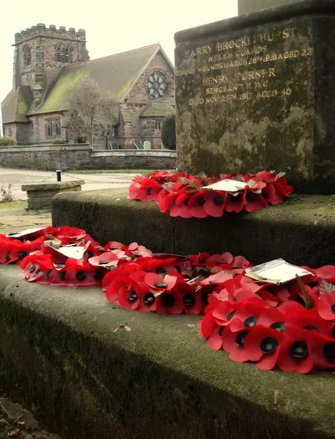
© David Marten · Geograph · CC BY-SA 2.0
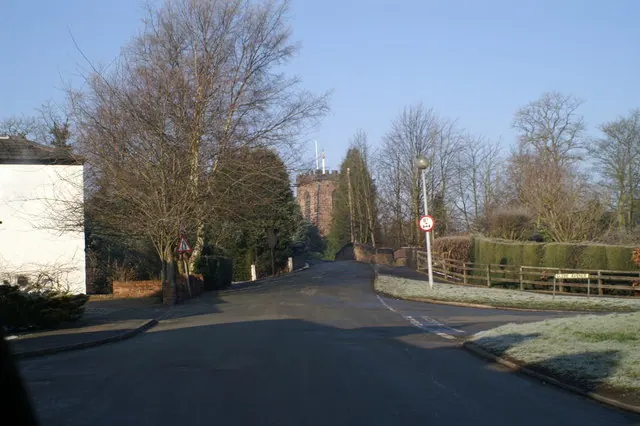
© David Long · Geograph · CC BY-SA 2.0
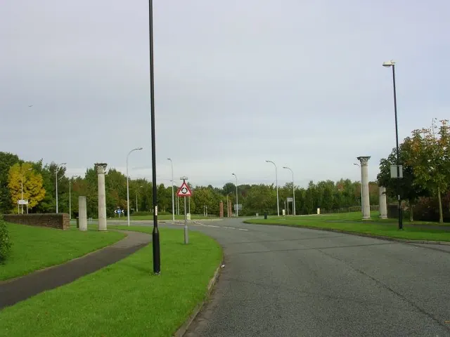
© Keith Williamson · Geograph · CC BY-SA 2.0
Images © their respective photographers, licensed under CC BY-SA 2.0 and reused here with attribution. Photographs depict listed buildings, churches and monuments near this settlement and may show neighbouring villages.
Data derived from the Open Domesday project (opendomesday.org), based on the Domesday Book dataset compiled by Professor J.J.N. Palmer and team. The Domesday Book (1086) is in the public domain.
Found an inaccuracy? [email protected]